Walking route
Through the nature reserve La Granadella.


La Granadella.
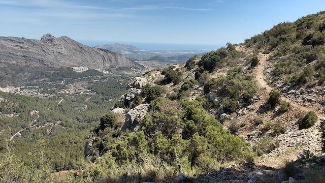
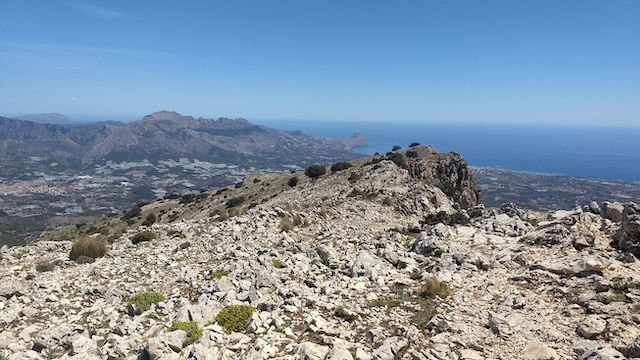
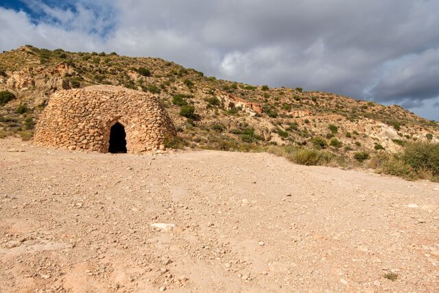
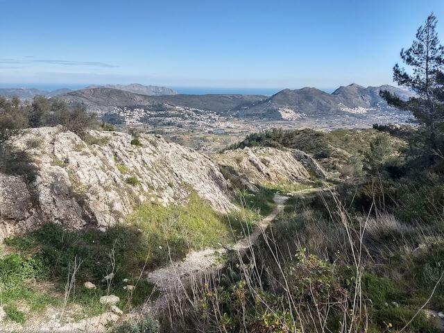
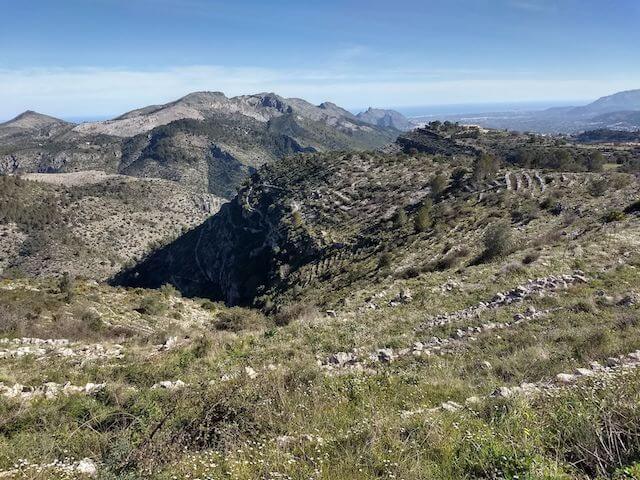
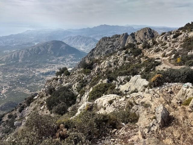
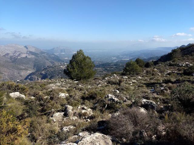
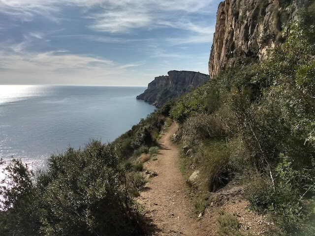
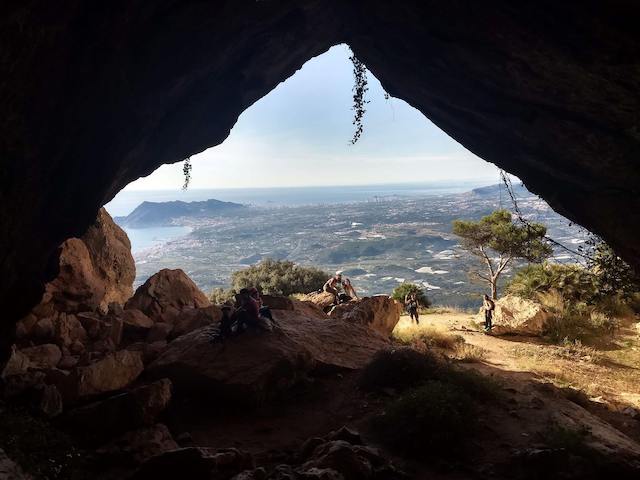
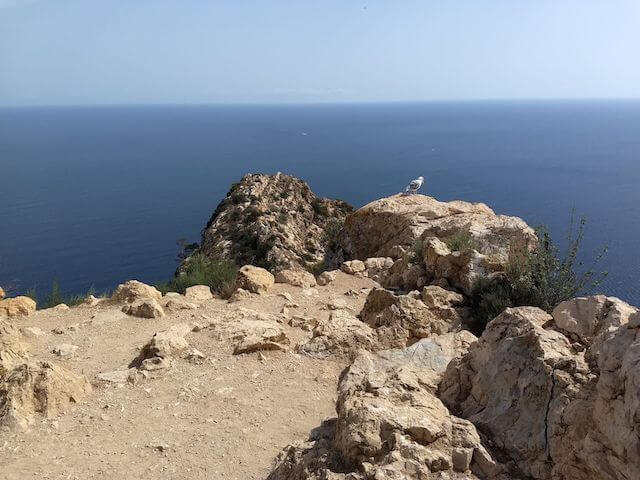
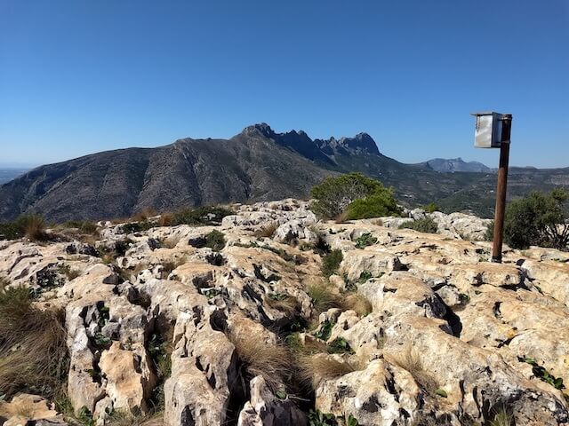
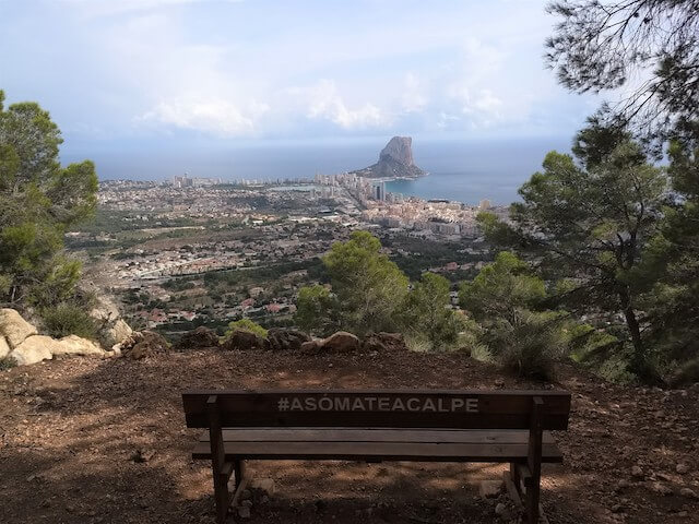
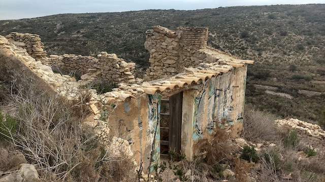
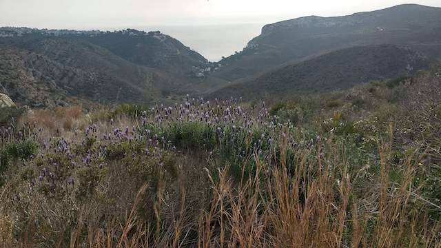
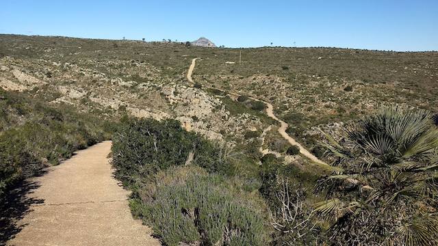
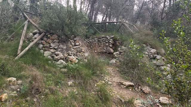
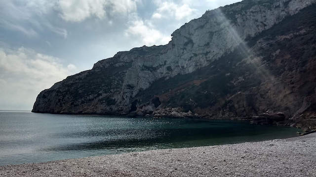
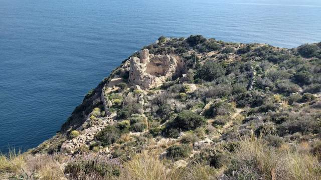
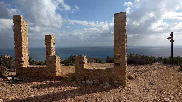
This beautiful walk goes through the nature reserve La Granadella from Cumbro del Sol to the most beautiful bay of the Costa Blanca, the Cala Granadella. We walk through the Martorell and Orxella ravine, to the Teuleria de Dalt, pass the ruins of the fortress of Granadella, old copper mines and the Joanet de golaestreta lime kiln. Along the way, and from the Lloma Aspra and the Mirador de Levante, we enjoy the beautiful views of the bay of Xàbia, Cap de la Nau, the Plana, the iconic Montgó, the tower of Moraira and the Penon of Calp.
Distance: 13 km.
Time: 4h00.
Grade: Moderate.
Type: Circular.
Gps Track: Yes.
Route description: Yes.
Wheelchair: Not suitable.
Dog: Allowed on leach.
Height gain: 600 meters.
Trail: 95% unpaved.
Marking: PR-CV 354 | yellow-white.
Hiking shoes recommended.
Cala Granadella.
Guadalest, from 2002 El Castell de Guadalest, is an almost thousand year old mountain village, situated on a cliff around the Castell de San José, which for many years was an important defense point of the Moors against the Spanish. Because Guadalest could only be reached via an entrance carved out of the rocks and the castle had towers that protruded above the rocks like crows' nests, it was easy to defend. Today it is a tourist attraction with its attractive market square, the town hall, the baroque church, numerous shops, museums and restaurants. Down at the foot of the mountain lies the reservoir. It mainly receives water from the Guadalest river, a tributary of the Algar. It has a capacity of 13 hm³ and a water surface of 86 ha. The dam has a height of 94 meters and a crest length of 236 meters. It was built from 1953 to 1966 and cost 166 million pesetas (today's equivalent of just under 30 million euros). It guarantees access to water for a large part of the Marina Baixa region, but was strangely never inaugurated, and therefore not officially opened, which is strange for one of the largest reservoirs in the area. On the way there, the walking route mainly follows the roadway, where motorized vehicles occasionally pass by. We do walk a bit away from the reservoir. There are 2 walking paths along the way that lead directly to the reservoir. The way back is via a wide walking path, but when the water level is low, we can walk along the water via small footpaths.
Download PDF for route description and map.
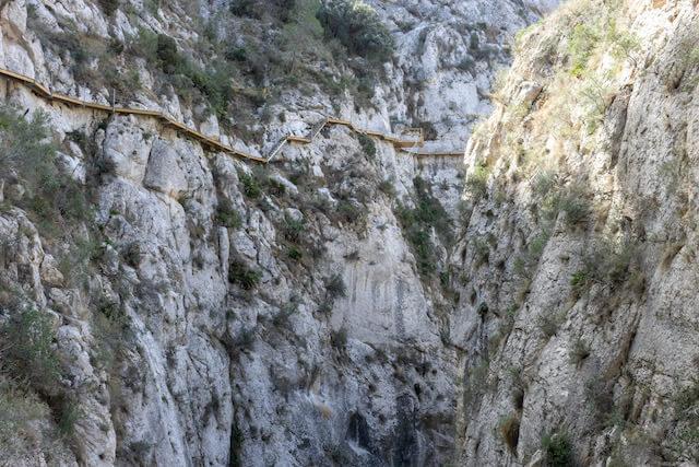
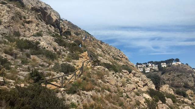
WP1 on the map: There is one short dangerous point on this walk. When you are almost at the fort, a help chain is currently missing.

Walks Alicante.