The walk goes from Moraira via the Barranco de La Viuda to the bay of Cala Llebeig. From the bay you continue on the coastal path along the cliffs to the Cova dels Arcs and Cala Moraig.
Distance: 9 km.
Time: 3h30.
Grade: Moderate.
Type: Circular.
Gps Track: Yes.
Route description: Yes.
Wheelchair: Not suitable.
Dog: Allowed.
Height gain: 559 meters.
Trail: Paved and unpaved.
Marking: Partial SL - CV50 - White-Green.
Hiking shoes recommended.
Advertisement.
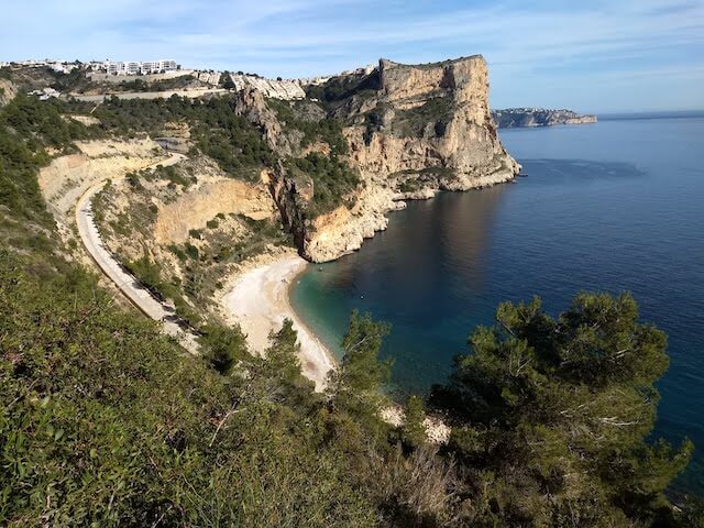
Cala Moraig.
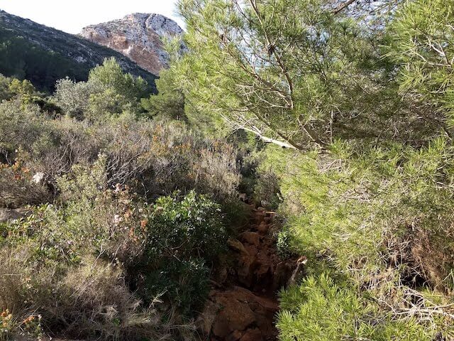
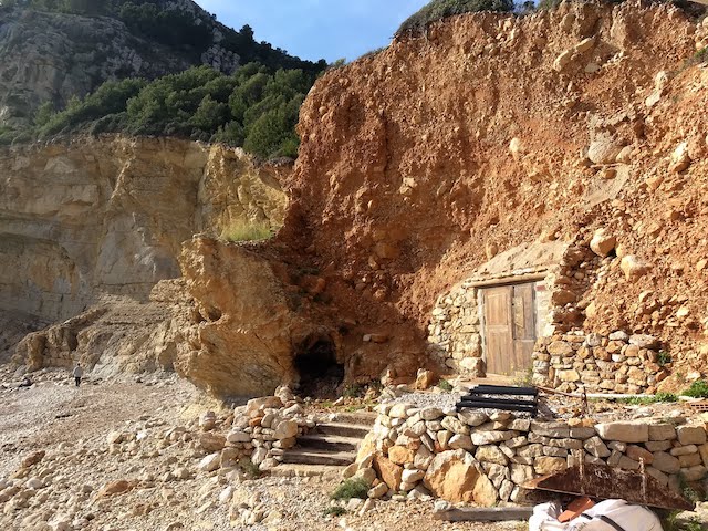
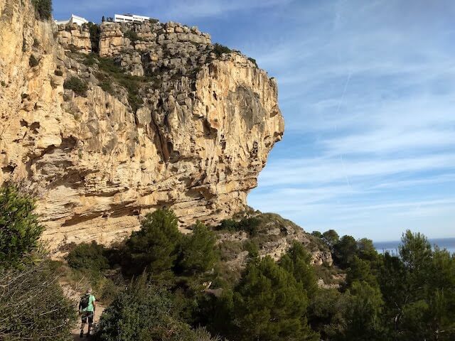
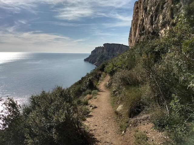
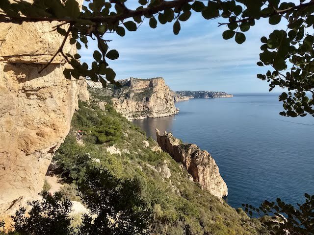
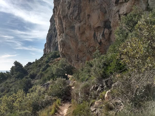
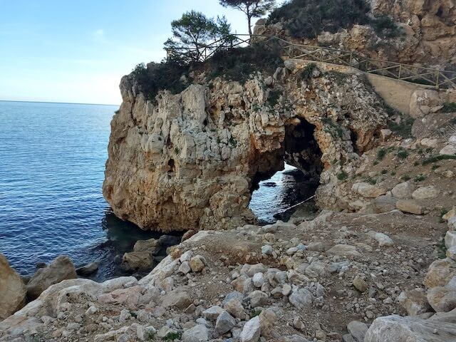
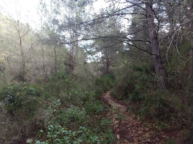
From the starting point we descend along the Barranco de La Viuda, a rocky river bed, to the Cala Llebeig. The Cala Llebeig is a small cove which, due to its location between cliffs, was a frequent hideout for pirate ships and smugglers. During the nineteenth century, the bay became a haven for fishermen, who built their huts there to store their tools. From there we climb a short distance and via a hiking trail along the cliffs we walk to the Cova dels Arcs and Cala Moraig. Cova dels Arcs is located on one of the most beautiful stretches of the coastline. This impressive karst formation has been formed over the course of a staggering 60,000 years. The landscape here is truly breathtakingly beautiful. Cala Moraig is a beach about 300 meters long, formed by gravel and with crystal clear waters and is the main bay of Benitatxell. It is located in an exceptional place, surrounded by cliffs and vegetation, hidden behind the Puig Llorença massif. Via the Cumbre del Sol urbanization, where we follow the arrows to Cala Llebeg, and the Barranco la Garsiva, we return to the starting point.
Download PDF for route description.
Since we walk through dry riverbeds, it is not recommended to do this walk during or just after a rain shower.