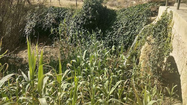
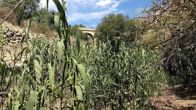
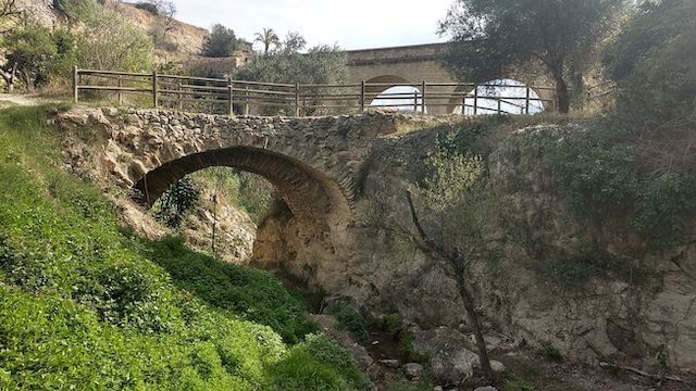
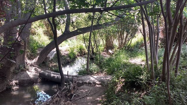
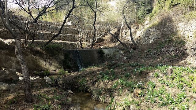
This walk goes via the ruta del Riu around Sella. During the walk you will pass springs, a water mill, go along the Rio Sella and admire the various views. If there is enough water, you can enjoy various waterfalls and on hot days cool off in tiny lakes or at the Font Major picnic area.
Distance: 8.5 km
Time: 3h00.
Grade: Easy.
Type: Circular.
Gps Track: Yes.
Route description: Yes.
Wheelchair: Not suitable.
Dog: Allowed.
Height gain: 300 meters.
Trail: Paved and unpaved.
Marking: Green-White | SL-CV 122.
Hiking shoes recommended.
Advertisement.
SIERRA DE AITANA.
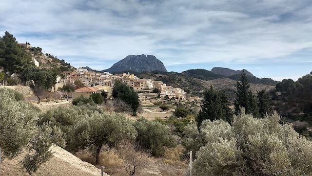
The mountain village of Sella is located on the southern slopes of the Sierra de Aitana, between the Sella and Amadorio rivers. In the center of the city, the Church of Santa Ana, or the Ermita de Barbara, is worth a visit. The Castillo del Belga is also an eye-catcher.
Download PDF for map and route description.