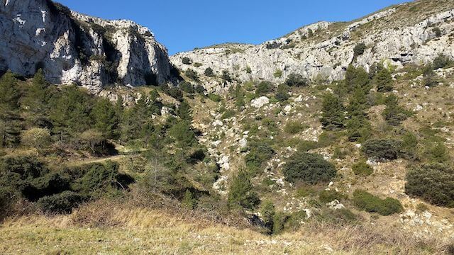
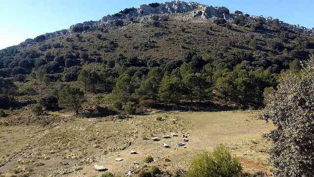
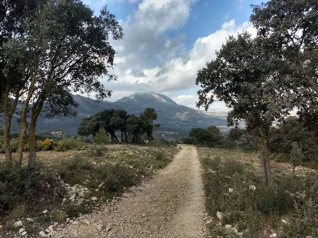
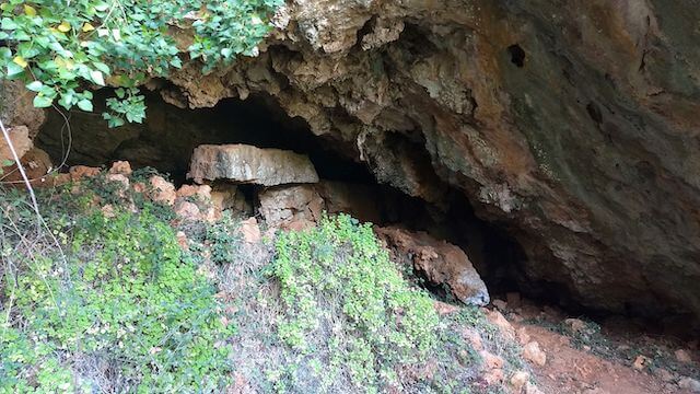
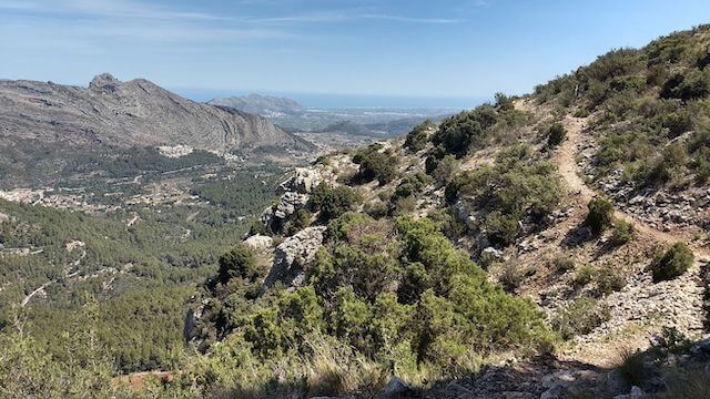
With the PR-CV 465 as a basis, this adventurous walk has a lot to offer. Via the airstrip of Castell de Castells we go to the top of the Cocoll, at 1,048 meters the second highest mountain in the Marina Alta. From there we walk to the PR-CV 465. This is a circular route through the Almadich ravine and the Ses Cordelleres mountains with highlights along the way: the Penya Blanca fountain, Els Corralls, a cave that served as a sheepfold, through the spectacular Paso del Badall and along the Coveta de las Cabres.
Distance: 15 km
Time: 6h00.
Grade: Heavy.
Type: Circular.
Gps Track: Yes.
Route description: Yes.
Wheelchair: Not suitable.
Dog: Not recommended due to crampons and chains along the way.
Height gain: 1100 meters.
Trail: Mainly unpaved.
Marking: Partly White-Yellow | PR CV-465.
Advertisement.
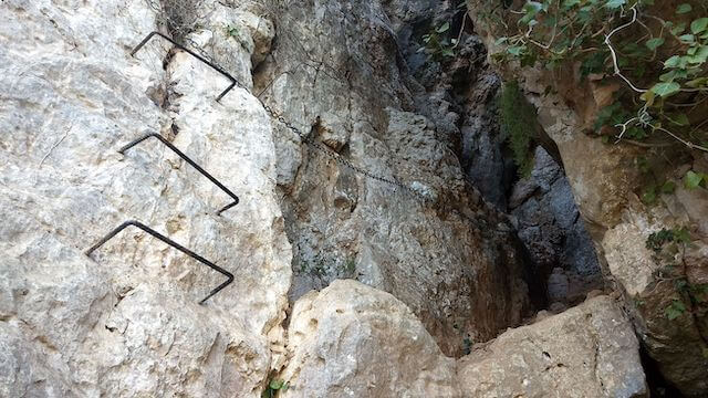
CROSS THROUGH THE PASO DEL BADALL.
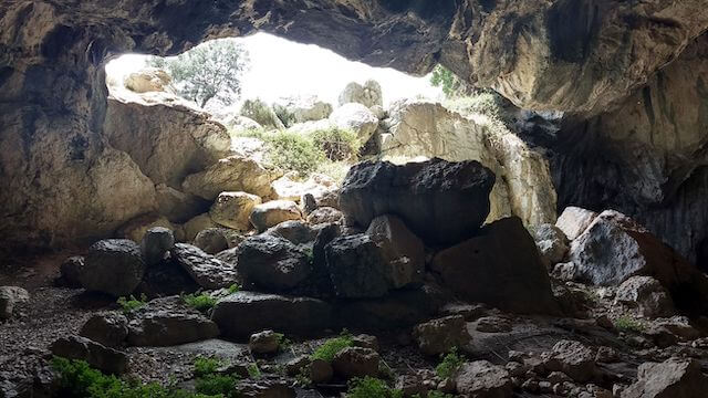
The Paso del Badall is a spectacular gorge, which must be overcome with the help of chains and crampons in the wall, you have to crawl under a low ceiling and finally you reach the end of the passage through a narrow crack. However, this gorge is not dangerous and can be done by hikers, but it can be a problem for people with claustrophobia. It is also not easy with dogs as you sometimes have to get up with the help of crampons and chains. On the way back we pass the Cova de Dalt. This cave dates from the Neolithic period (New Stone Age) 4000-2500 BC and various references to habitation have been found. The opening of the cave is large, and it consists of 1 large room and a small hidden room on the right. Nowadays it is regularly used by goat herders.
Download PDF for map and route description.
Technical passage: Climbing up via chains and crampons to a cave, where we have to crawl under a low ceiling. And a little further there is a narrow crack through which we have to squeeze through.