Walking route
From Campell around Fontilles.


From Campell around Fontilles
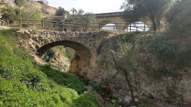
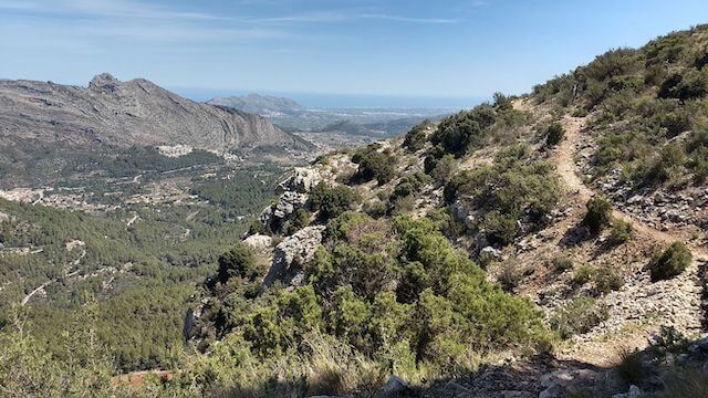
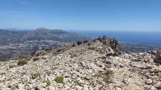
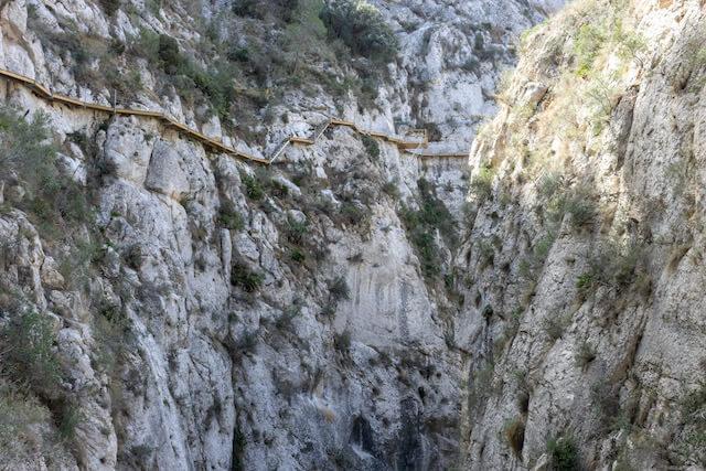
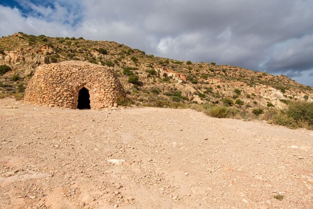
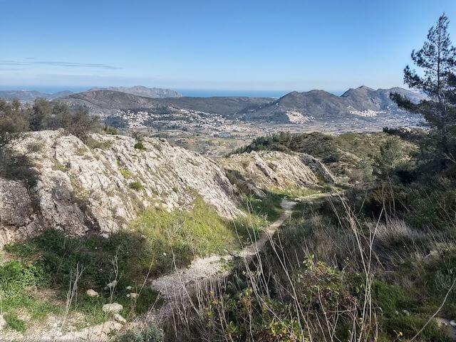
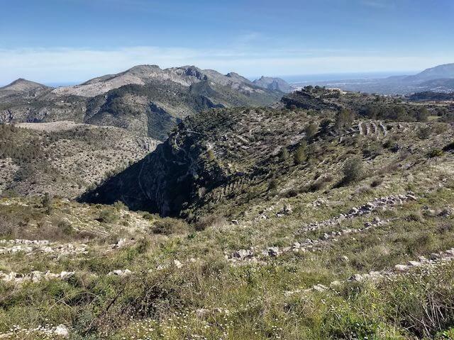
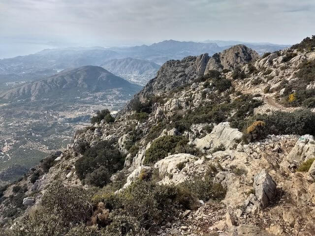
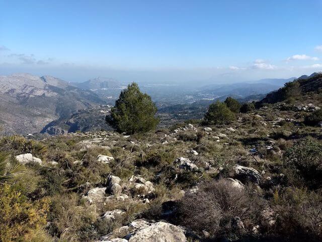
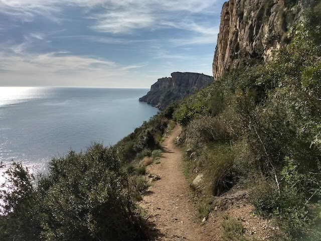
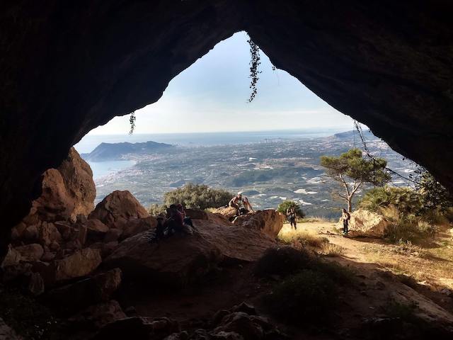
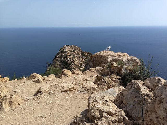
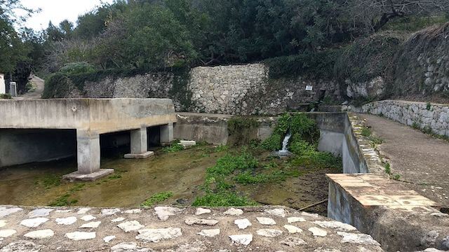
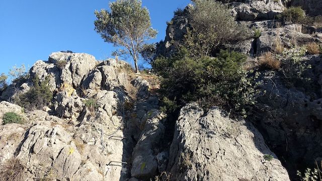
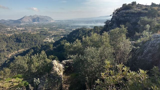
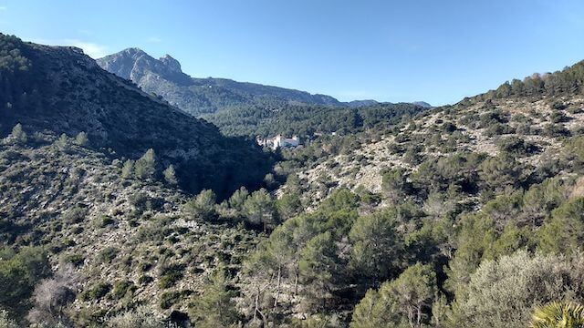
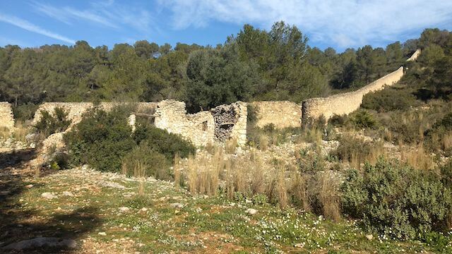
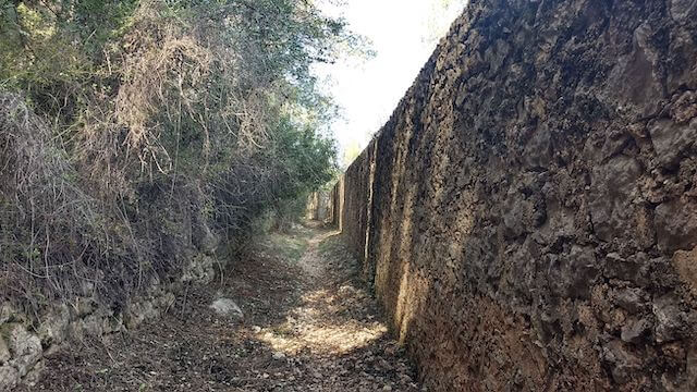
This walk takes you from Campell all the way around the Fontilles domain. On the way you make a very steep climb to the Castell de les Atzavares. This climb is so steep that you use crampons and chains. This can be a problem for walkers with dogs. Then you pass the moli d’isbert, an old water mill, and some old stone refuge huts. On the way back you walk a long way along the wall of the leprosy sanatorium to then, through the barranc of Fontilles, reach Campell again.
Distance: 9 km.
Time: 3h00.
Grade: Heavy.
Type: Circular.
Gps Track: Yes.
Route description: Yes.
Wheelchair: Not suitable.
Dog: Allowed on leach.
Height gain: 440 meters.
Trail: Mostly unpaved.
Marking: Posts and own route.
Hiking shoes recommended.
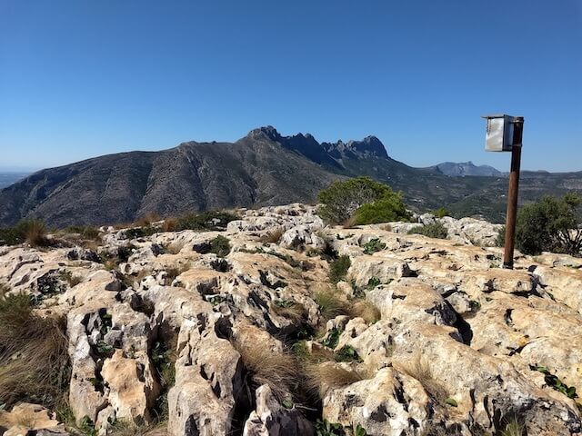
Castell de les Atzavares.
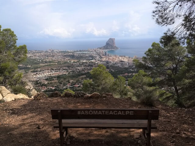
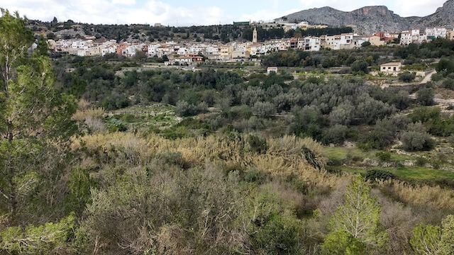
Campell, also called el Poble de Baix (Village of Below), began as a town street between two ravines. Later, a parallel street developed here with the backs of the houses directly on the ravine. Campell is one of the three villages of La Vall de Laguar, a municipality in the Marina Alta region. The toponym Laguar comes from Arabic and is an evolution of Al-Agwar, which means 'the caves'. The Laguar Valley was the last stronghold of the Valencian Moors. In November 1609, they surrendered and were definitively expelled to North Africa. Fontilles is a residential colony or sanatorium where leprosy patients used to be cared for. From 1923 to 1930, work was done on the still existing wall of 3,513 meters long and three meters high around the leper colony. Castell de Les Atzavares is located at the entrance of La Vall de Laguar, at an altitude of just over 350 metres and is a small fortress of two rectangular enclosures of Islamic origin. Today there are only a few remains of the (rammed) walls.
Download PDF for route description and map.
When I did this walk a second time, to check the route, they had started to set out the signposts for a new walking route, the “PR-CV 185”. The walking route is partly the same as this walk, but is still under development.
Crampons and chains are provided along the way for the climb to the castle.


Walks Alicante.