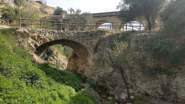
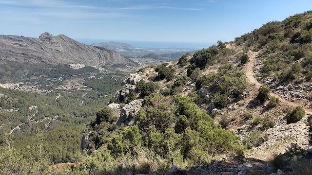
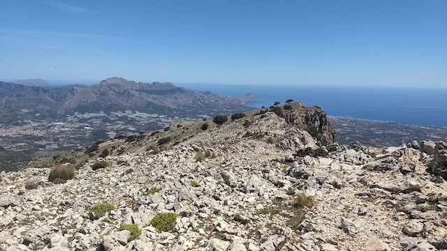
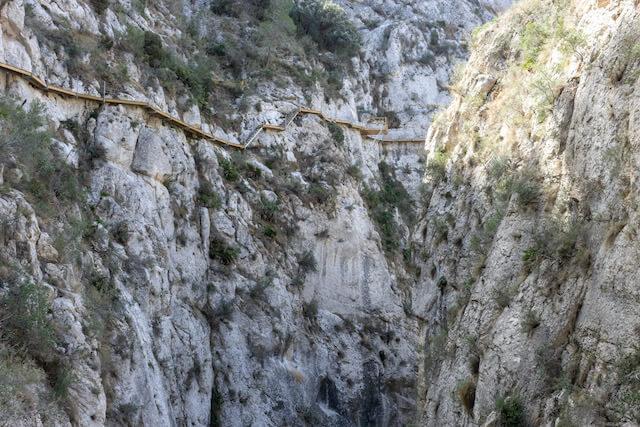
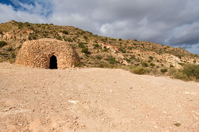
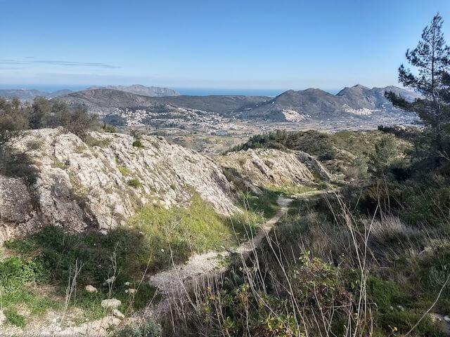
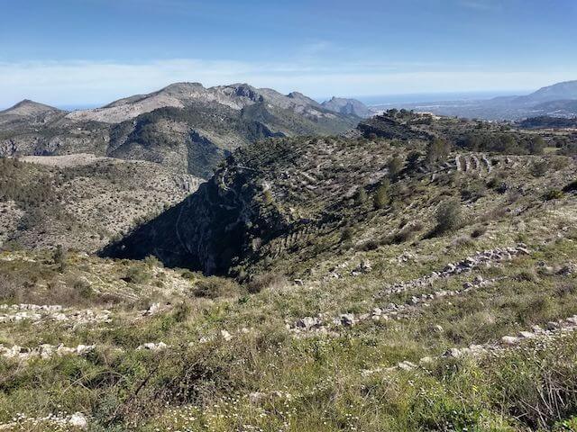
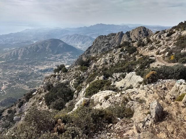
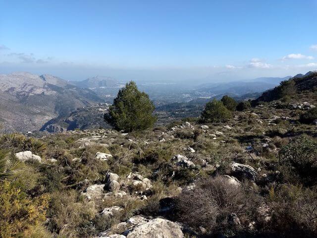
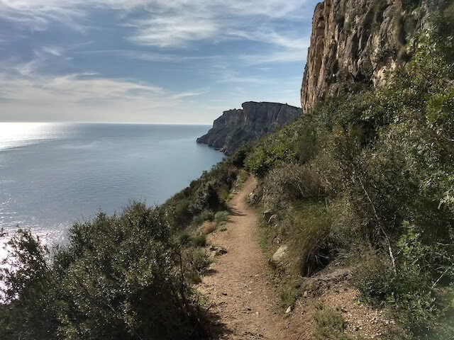
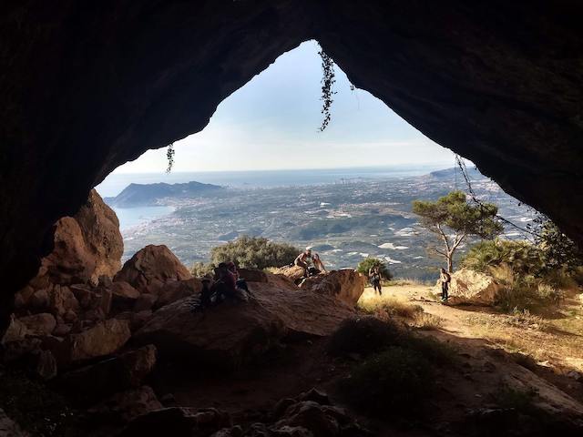
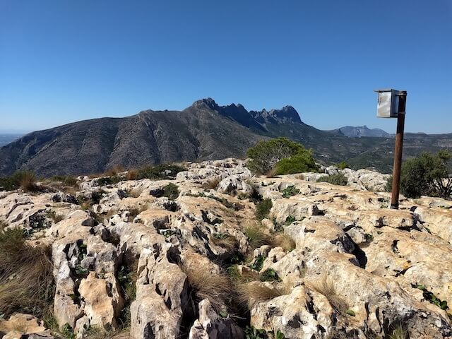
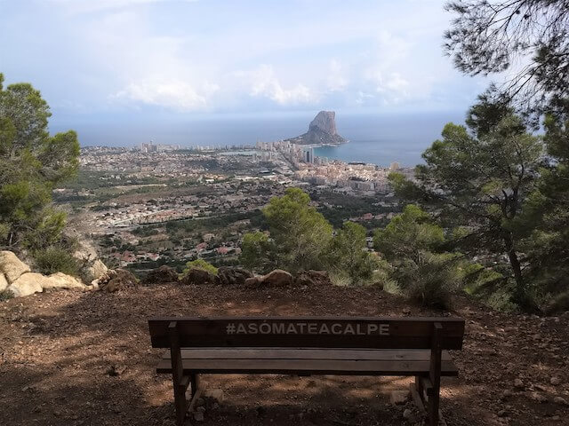
Select your language

Penya El Castellet

This walking route goes to the Penya El Castellet which forms a natural border between the valleys of La Serrella and Seta. Along the way you have fantastic views of the Guadalest Valley, the Guadalest Reservoir and the surrounding mountain ranges. At the top of the Penya de Castellet are the ruins of a Moorish castle, which served as a lookout post over the surrounding valleys.

Penyal Roig

This challenging walk goes from the small village of Murla to the top of the Penyal Roig or Cavall Verd, the Green Horse. The route first passes the hermitage of San Sebastiá and a little further to a cross with beautiful views of Murla. Along the way and at the top you have beautiful views of Xaló, the Gorgos river, the Seguili mountain, the ruins of Castellet, the Segària, the Carrascar, Dénia, the Montgó, the Mediterranean Sea, to Xortà, Serrella and even the Aitana. From the top you descend and walk through orchards, where you can enjoy the spring blossoms in spring, back to Murla.

Castell de les Atzavares

This walk takes you from Campell all the way around the Fontilles domain. On the way you make a very steep climb to the Castell de les Atzavares. This climb is so steep that you use crampons and chains. This can be a problem for walkers with dogs. Then you pass the moli d’isbert, an old water mill, and some old stone refuge huts. On the way back you walk a long way along the wall of from the leprosy sanatorium to then, through the barranc of Fontilles, reach Campell again.

Orba castle

This walk goes from the charming village of Orba to the ruins of the castle of Orba or El Castellet which is situated on a 420 meter high hill. At the castle you have a beautiful view of Orba and the surrounding mountain ranges such as Cavall, Segaria, Seguili, Penyo and Carrascal de Parcent.

Seguili

This beautiful walk mainly goes over the plateau of Pla de Seguili. In addition to beautiful nature, the route gives you an insight into traditional rural life from the past. Along the route there are numerous cisterns to see, old rainwater reservoirs and wells. These bear witness to human activity in the area since the Middle Ages and show how inhabitants collected and stored water in this dry terrain. The ruins of old houses and barns that were once used by farmers and shepherds are also not missing.

Camino del Alto

This pleasant walk goes from the Santuario Nuestra Señora Del Pilar through the Sierra de Benejúzar to the Mirador de Benejúzar. At the Cabezo de Los Mozos you walk through beautiful pine forests and at the Cabezo Redondo the terrain becomes more open with heather and native flora. At the Mirador de Benejúzar you have a beautiful view of the coastline and the surrounding villages.

La Granadella

This beautiful walk goes through the nature reserve La Granadella from the beautiful bay Cala Granadella to the ruins of the castle of Granadella and the viewpoint Mirador de Levante. Along the way you have beautiful views of the bay, the sea and the rugged cliffs.

Sella

This walk goes via the ruta del Riu around Sella. During the walk you will pass springs, a water mill, go along the Rio Sella and admire the various views. If there is enough water, you can enjoy various waterfalls and on hot days cool off in tiny lakes or at the Font Major picnic area.

Tags:
Cocoll

With the PR-CV 465 as a basis, this adventurous walk has a lot to offer. Via the airstrip of Castell de Castells we go to the top of the Cocoll, at 1,048 meters the second highest mountain in the Marina Alta. From there we walk to the PR-CV 465. This is a circular route through the Almadich ravine and the Ses Cordelleres mountains with highlights along the way: the Penya Blanca fountain, Els Corralls, a cave that served as a sheepfold, through the spectacular Paso del Badall and along the Coveta de las Cabres.

Tags:
La Catedral del Senderismo

La Catedral del Senderismo, also known as the route of the 6000 steps, is without a doubt the best known and most representative route of La Vall de Laguar. This great route crosses the ravines of Racons and l'Infern (the latter two times) and passes through the Juvées de Dalt and Juvées d'Enmig. Along the way you can discover a fascinating landscape, rocky and steep, carved out by the force of the water.

Tags:
La Presa de Isbert

This walk goes from Fontilles, via a 100 meter long tunnel to the useless dam, La Presa de Isbert. Then we walk along the barranc de l'infern towards Ebro. We return to our starting point via the riverbed of the barranc de Fontilles and the leper center of Fontilles.

Tags:
Cova de La Garguantua

This walk goes from Senija to the Cova de La Garguantua, the hideout of the famous bandit Josep de la Tona. From the cave it continues to the Creu de Senija, with a beautiful panoramic view and around Lliber back to Seija.

Tags:
Els Arcs de Castells

This walk goes to Els Arcs de Castells, an impressive geological rock formation that forms large arches on the north side of the Sierra de la Xortà. This arch formation offers beautiful views all around and in the distance you can see the border where a large forest fire raged in 2022.

Tags:
Tàrbena

This walk first goes to the Barranc Tancat viewpoint from where you have a beautiful view of the gorge and the Sierra de Mariola and then goes through the valley around Tàrbena with the final eye-catcher being the Mirador de Tàrbena viewpoint.

Tags:
Penya Fordada

This walking route goes to the Penya Foradà or Foradada at an altitude of 737 meters above sea level, a true natural wonder in the province of Alicante. From this stone arch you have a beautiful view of a large part of La Vall de Gallinera.

Tags:
Peña Negra

This walk on the southern slope of the Sierra de Crevillent passes through an arid environment with reddish rock formations from the Triassic period. Furthermore, the Peña Negra site is visited, which is linked to the ancient city of Herna. Information panels provide insight into this ancient Iberian settlement. Along the way you will come to a restored shepherd's hut. These Xosses were built with the so-called dry stone construction technique and have been declared a UNESCO World Heritage Site.

Tags:
Coll de Rates

This walk goes from Parcent via the Camí de les Revoltes to the Coll de Rates. After the plateau Tossal de Polupí you come to the cave Cova de Coloms. You can go back and forth to the Casa de la Neu, a huge ice pit. The 150 extra meters of altitude are definitely worth it. A little further you pass the source Font de la Foia and you walk through the Sierra del Carrascal back to the starting point.

Tags:
Puig Campana

The walk goes from Finistrat to the top of the Puig Campana at an altitude of 1406 meters, at the top you have a beautiful view to all four cardinal points. This incredible mountain is notable for its peculiar conical shape and also for a huge eroded hole in its upper part. You can shorten the walk to 12 km if you don't go to the top.

Tags:
Peñón de Ifach

The Peñón de Ifach is the symbol of the Costa Blanca. This limestone rock is 332 meters high and one kilometer long. The rock is connected to the land by a narrow isthmus, the result of a landslide from the nearby Sierra de Oltà. At the top you have beautiful views over the impressive coastline of the Costa Blanca. You can see for miles, as far as Moraira and on clear days you can even see Ibiza from the top of the Ifach.

Tags:
Sierra de Bernia

The walk goes to the top of the Bernia from where you have a beautiful view of the surroundings. You also arrive at the ruins of the fortress of Bernia and go through an ancient tunnel where you have to crawl on all fours for about fifteen meters.

Tags:
Vuelta d'Olta

This walk through the hills of the Sierra de Oltà goes around the Olta, a mountain near Calpe. Along the way you have beautiful views of the Puig Campana, the impressive Bernia, the Montgo and the famous Peñón de Ifach.

Tags: