Walking route
To Mont Noir on the Kalmthoutse Heide.


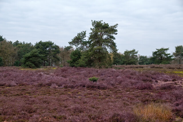
This walk takes you through one of the most diverse sections of the Kalmthoutse Heide Border Park. You'll wander through open heathland, past tranquil fens, and vast dune areas, ultimately discovering a surprising cultural-historical gem: the remains of the mysterious Mont Noir estate.
Distance: 11 km.
Time: 3h00.
Grade: Moderate.
Type: Circular.
Gps Track: Yes.
Route description: Yes.
Wheelchair: Not suitable.
Dog: Not allowed.
Height gain: 28 meters.
Trail: 100% unpaved.
Marking: See PDF route description.
Hiking shoes recommended.
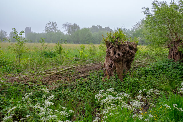
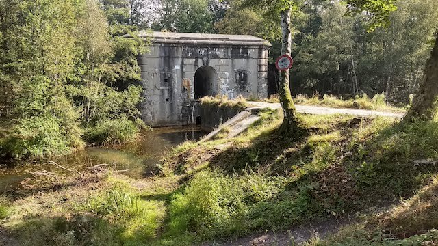
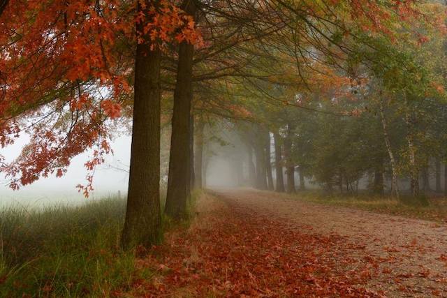
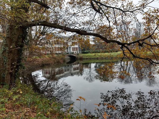
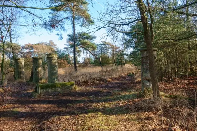
The silent history of Mont Noir.
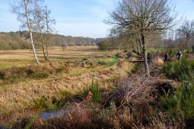
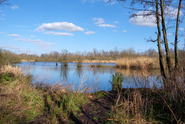
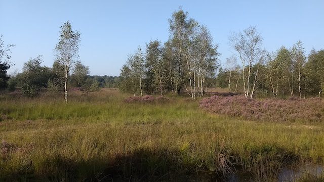
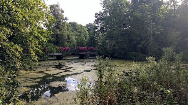
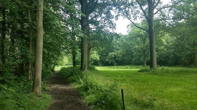
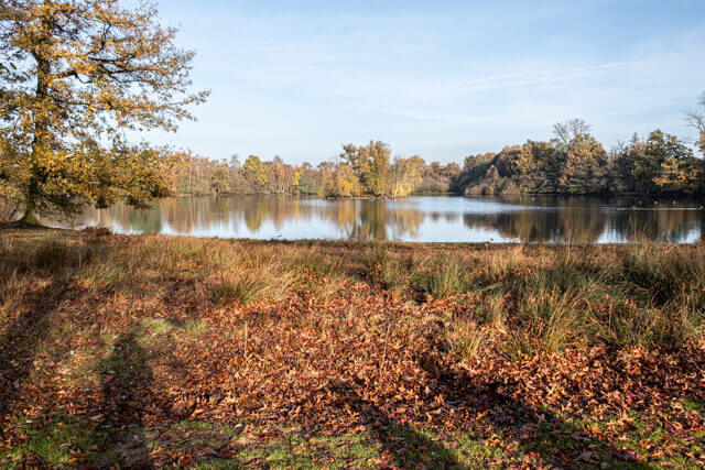
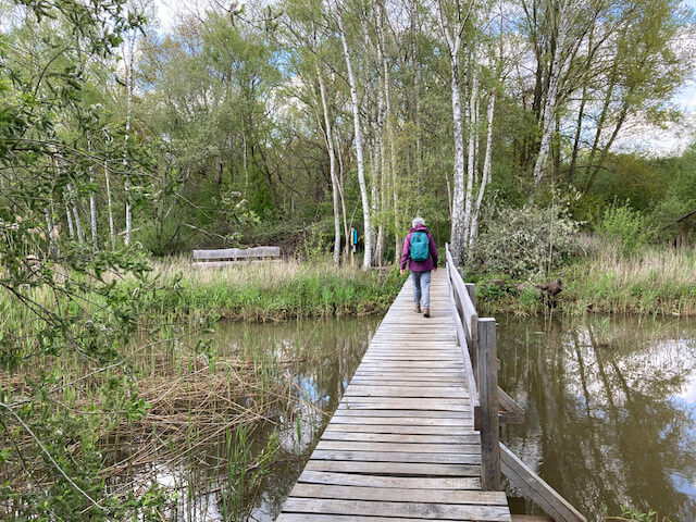
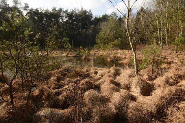
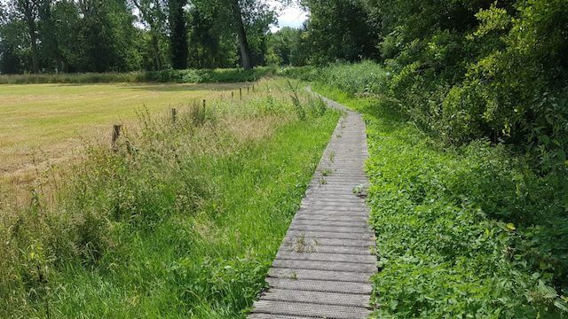
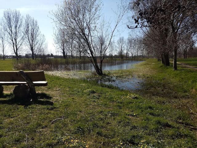
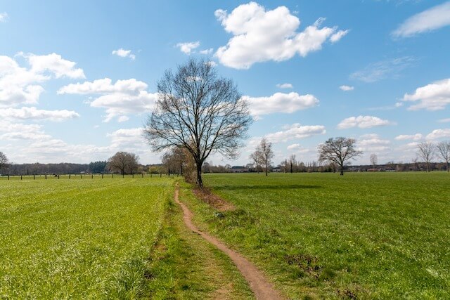
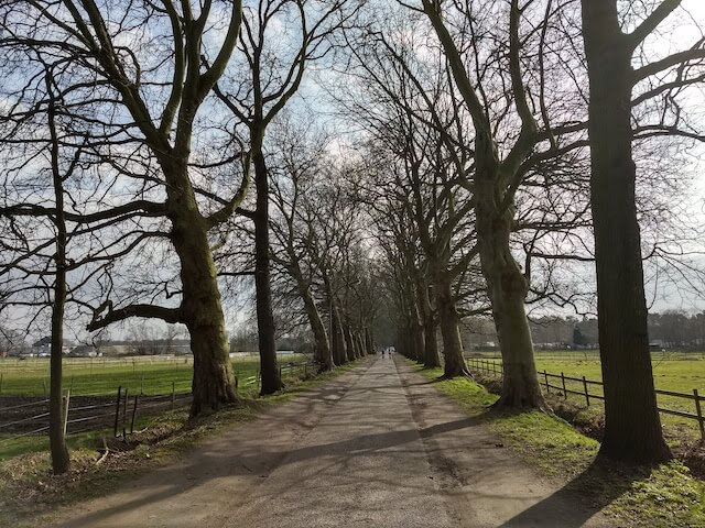
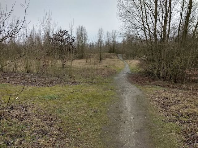
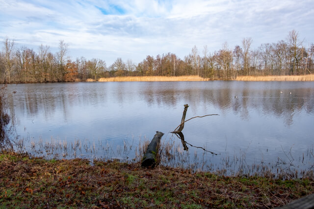
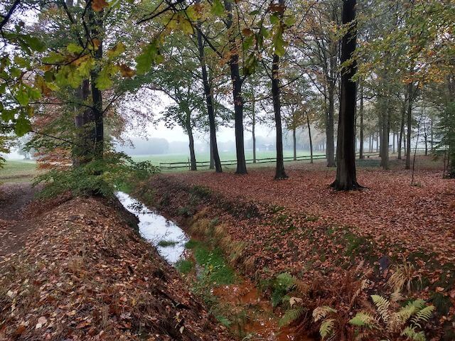
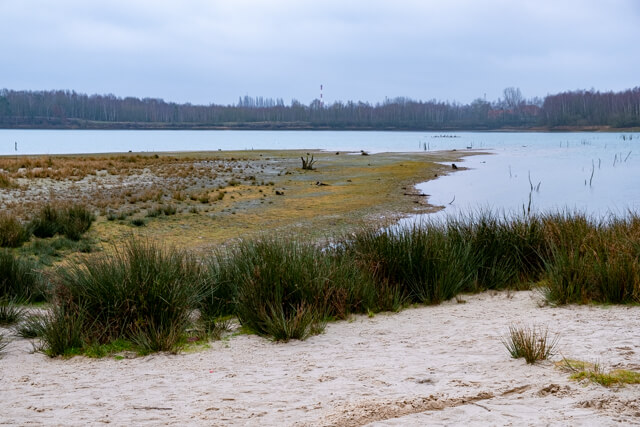
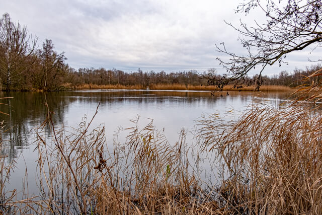
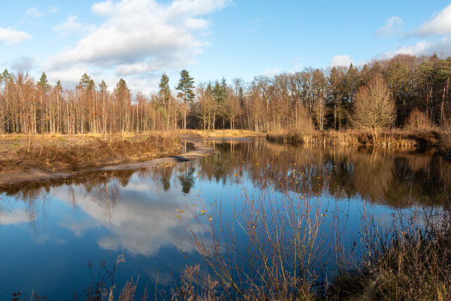
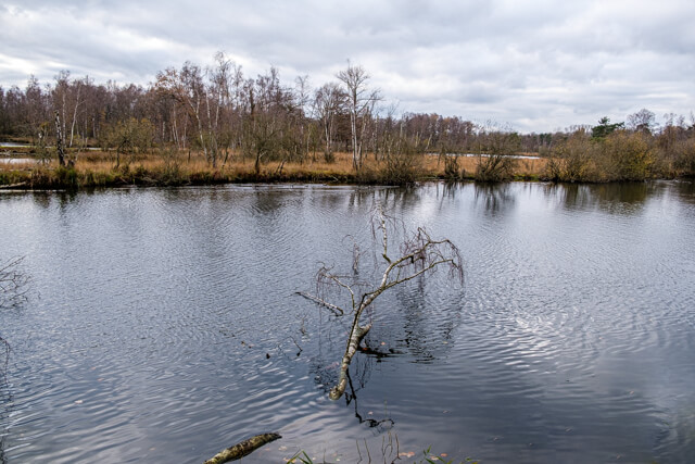
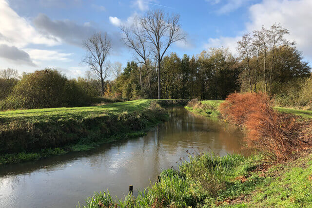
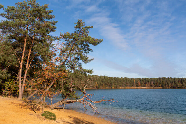
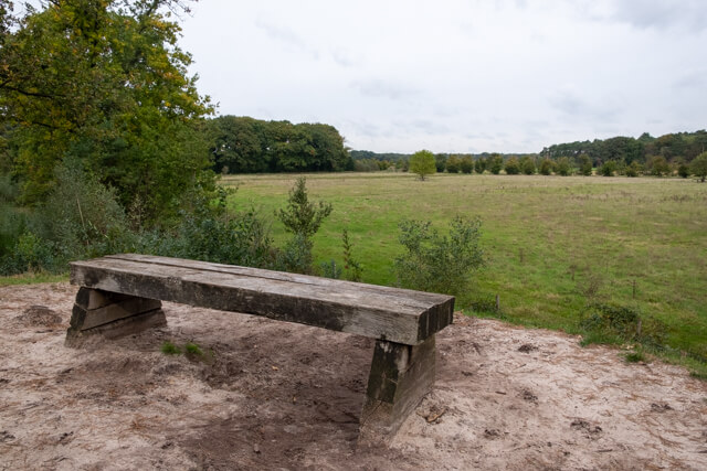
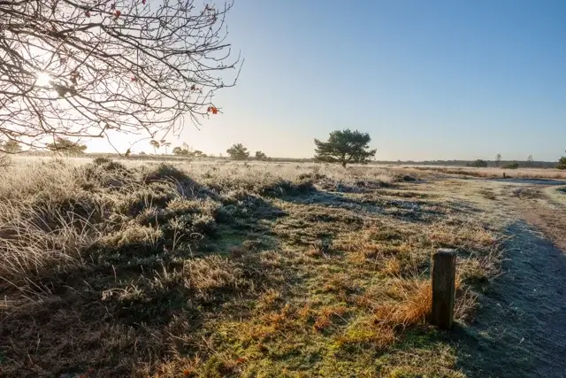
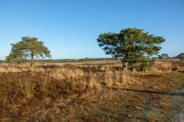
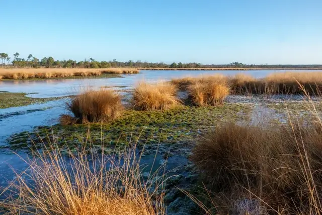
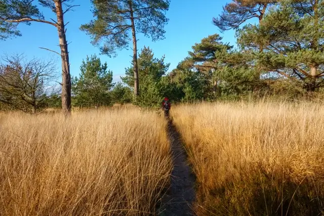
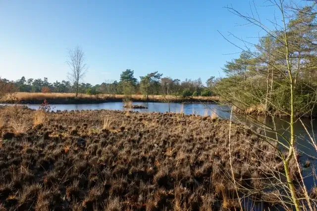
From the parking lot, you'll immediately walk into open nature. Wide sandy paths will take you to the Drielingvennen, a characteristic fen that forms part of the typical heathland of the Kalmthoutse Heide. These fens are ecologically valuable and provide a habitat for amphibians, dragonflies, and waterfowl. After the fen, the route continues towards the Wilgenduinen. Here, the landscape changes noticeably: rolling sand dunes alternate with heathland and sparse grasslands. These dunes were formed by historical sand drifts. Further on, you'll walk along the Kabuusduinen, one of the most open and rugged areas in the area. From the higher elevations, you'll have expansive views of the heathland and the surrounding forests. During this walk, you'll pass through active grazing areas where large grazers, such as cattle and sheep, are used for nature management. These animals keep the heathland and dunes open and prevent trees and shrubs from taking over the landscape. A unique and lesser-known highlight of the walk is the visit to the remains of the Mont Noir estate. In the 19th century, this area was not a nature reserve, but an ambitious private estate. A Brussels industrialist commissioned the creation of a park with avenues, ponds, and buildings. Later, the estate came into the hands of Bernhard Bernsohn-Stern, a Jewish diamond merchant, who had ambitious plans to transform Mont Noir into a recreational attraction. Attractions were to be built, including a narrow-gauge railway to Heide station. The outbreak of the First World War abruptly ended these plans. The estate fell into disrepair and was eventually reclaimed by nature. Today, only a few columns and landscape structures remain. After Mont Noir, you walk along quiet forest roads back towards Parking Noord. The transition from open heathland to closed forest provides a pleasant change.
Download PDF for route description and map.
The path between WP2 and WP3 will be closed from March 15th to June 15th. An alternative is available.
Some parts through loose sand.
Dogs NOT allowed!
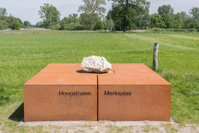
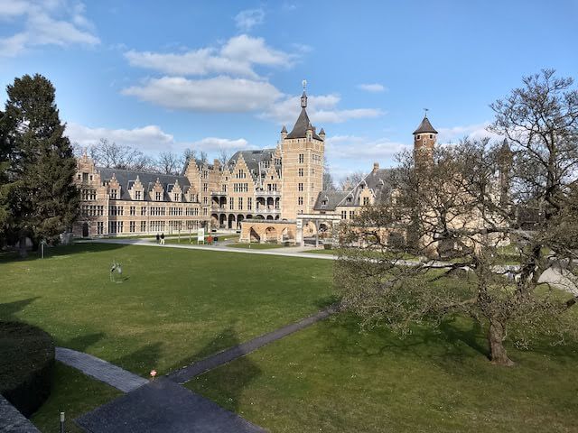
POI 3 - Mont Noir.
Although it's now primarily a place of tranquility, Mont Noir was the center of an ambitious plan at the beginning of the 20th century to transform the heathland into a tourist attraction.
In 1883, the Brussels manufacturer Mignot purchased the site. He commissioned the construction of a wooden chalet with a truly remarkable origin: it served as the official Romanian pavilion at the 1884 Brussels World's Fair. Mignot transformed the wild heathland into a romantic park with ponds, canals, and exotic trees.
Around 1910, the Antwerp diamond merchant Bernhard Bernsohn-Stern envisioned turning Mont Noir into a luxury resort. He even commissioned the construction of a tram line from Heide station to transport tourists deep into the nature reserve. Plans included a bathhouse and large recreational ponds.
Just as the tram line was completed in 1914, the First World War broke out. The Germans seized the site, and the dream of the heathland shattered. The tram line was never used for tourists and was later dismantled. The name "Mont Noir" (Black Mountain) likely refers to the dark color of the dense pine forests that were planted here at the time, which formed a sharp contrast with the light, open sandy plains surrounding it.
No additional information.


Walks Antwerp.