Walking route
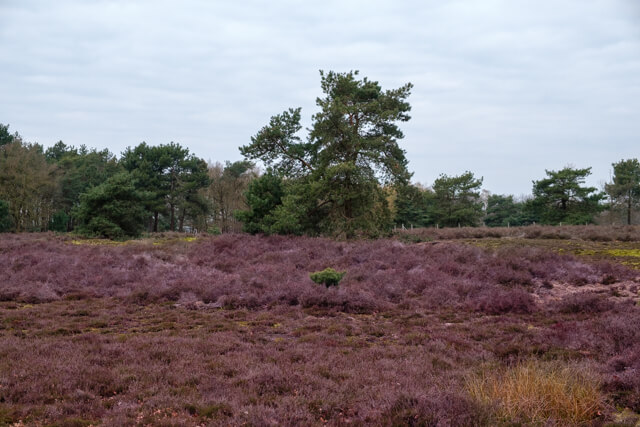
The Maatjes Nature Reserve.


The Maatjes.
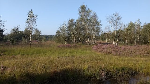
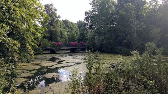
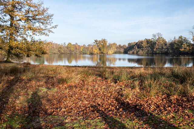
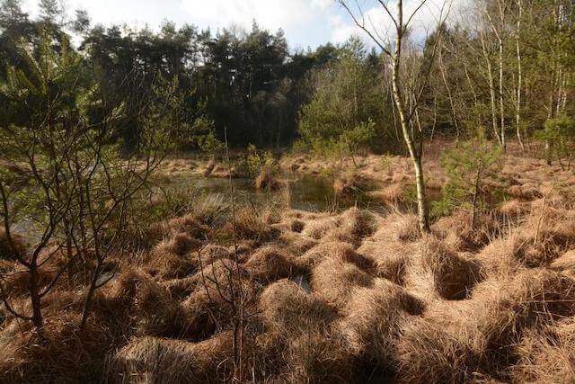
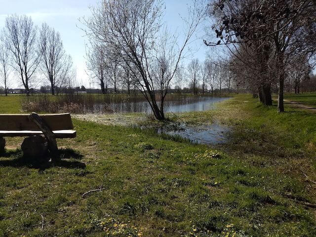
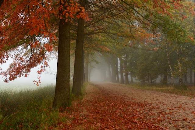
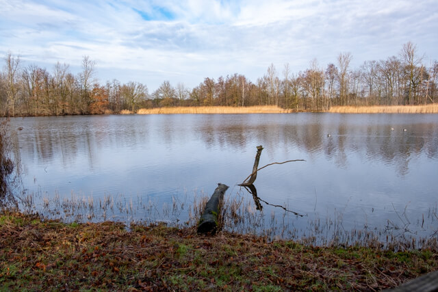
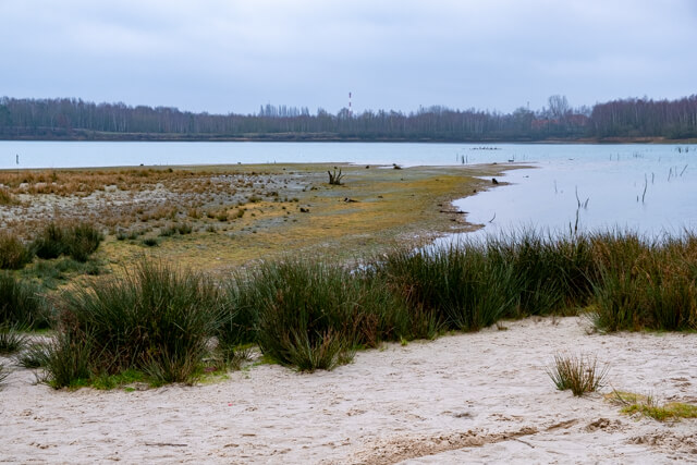
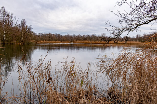
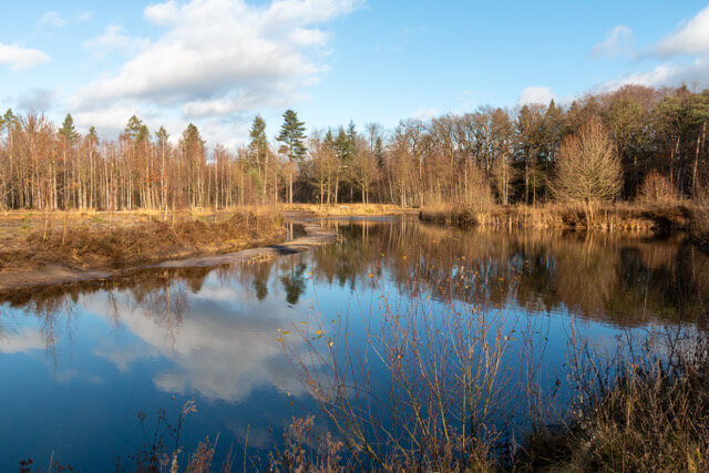
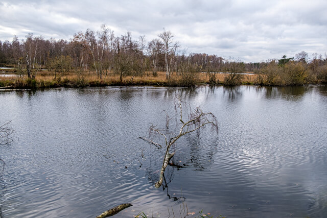
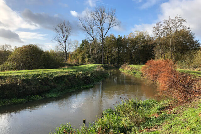
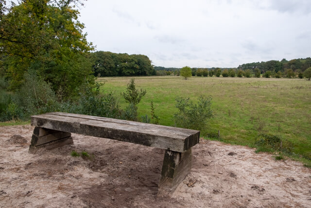
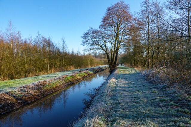
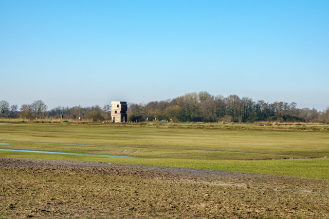
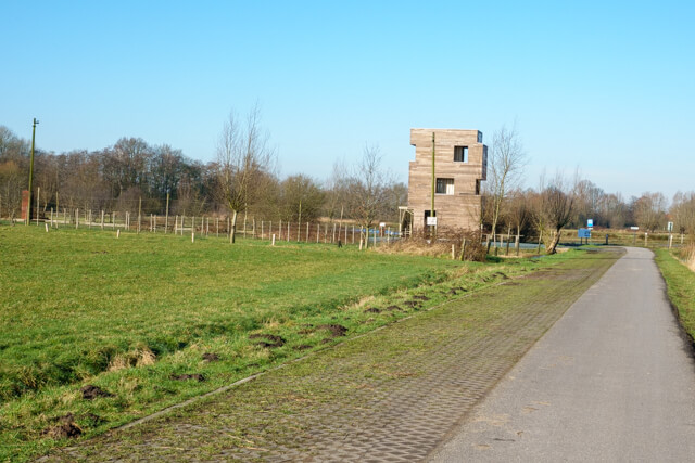
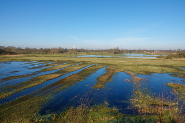
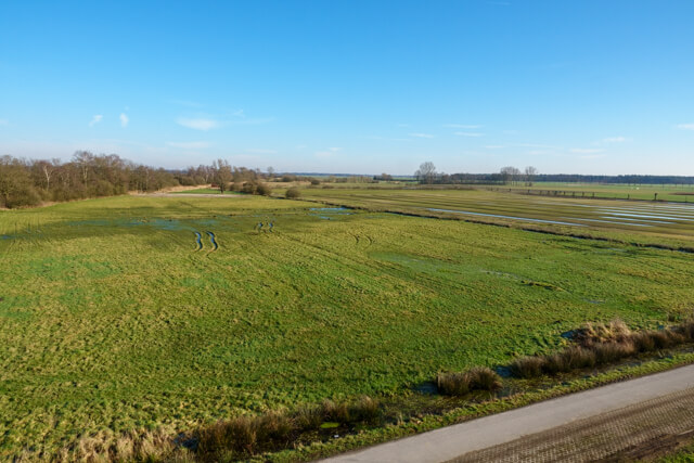
This walk goes through the beautiful nature reserve De Maatjes that consists of impenetrable reed fields, swamp forests and wet meadows. An ideal environment for rare reed and meadow birds. From the lookout tower De Klot you have a beautiful view over the entire area that used to look completely different. Peat was cut here for almost five centuries. The name of the Klot refers to a lump or clod of peat.
Distance: 7 km.
Time: 2h00.
Grade: Easy.
Type: Circular.
Gps Track: Yes.
Route description: Yes.
Wheelchair: Not suitable.
Dog: Allowed on leach.
Height gain: Flat.
Trail: 50% unpaved.
Marking: Nodes of the Antwerp Kempen walking network.
De Klot.
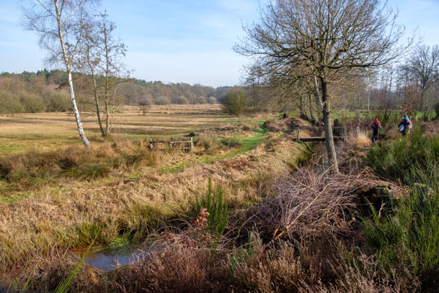
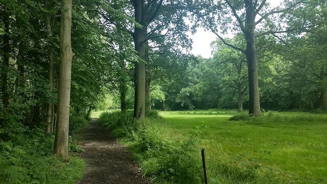
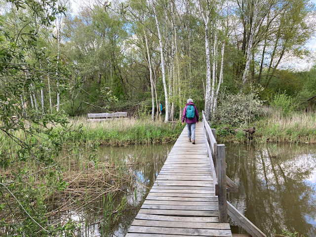
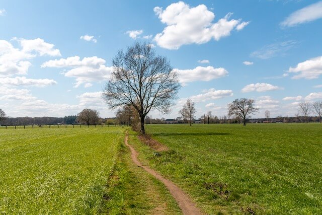
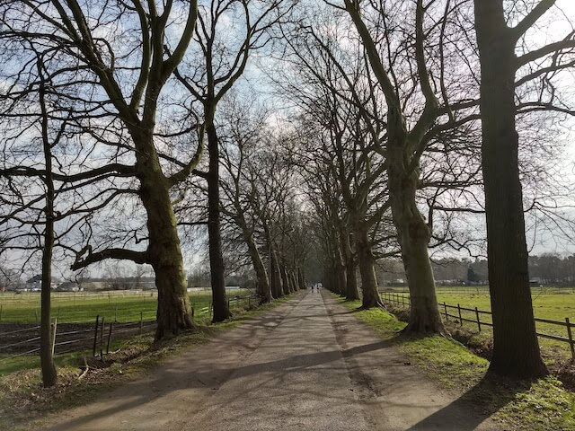
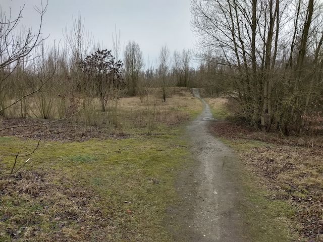
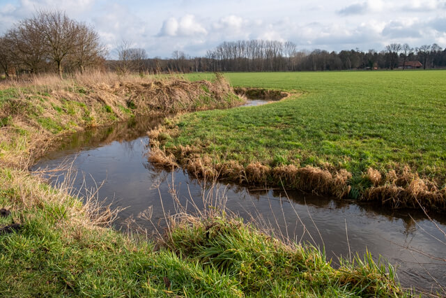
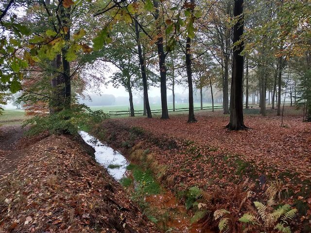
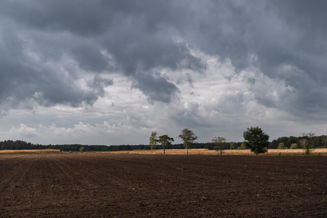
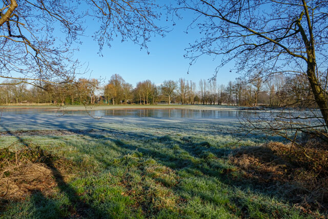
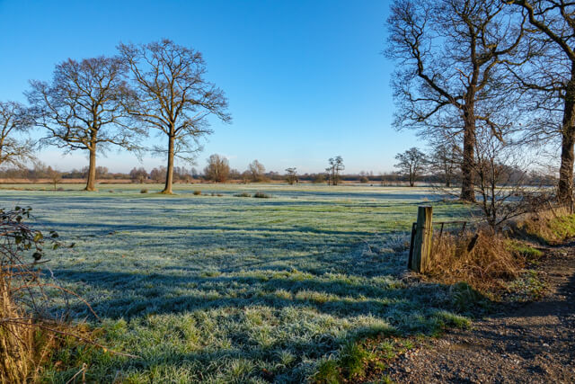
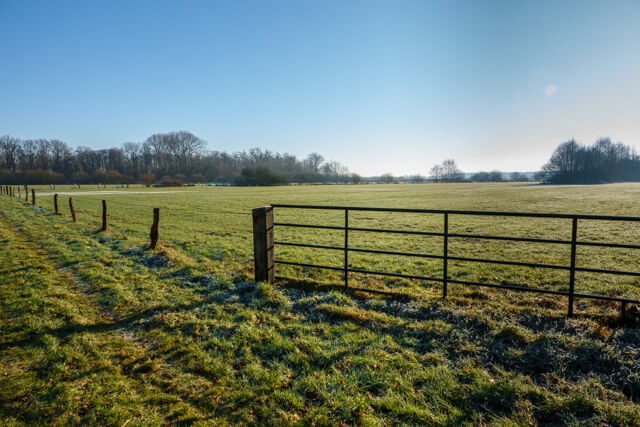
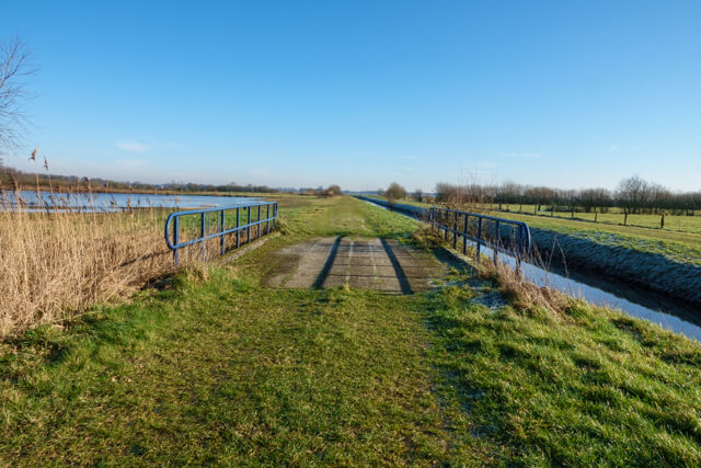
The walk first goes in the direction of the marshland and beautiful reed beds with wet meadows here and there. It is the habitat of many species of birds. By the way, you have been in the Netherlands for a while, where the nature reserve is called De Matjens. Once you leave the marshland, the landscape becomes more open and you walk through numerous gates over the meadows where more than 1800 artefacts from the Stone Age were unearthed during archaeological research in the period 2005 - 2012. You end up at the Berkenbeek, which originates from several ditches between Wuustwezel and Achterbroek. From the border it is called Kleine Beek and it also collects the water from De Matjens. Once you have crossed the Berkenbeek, you continue walking on an unpaved road with a view of the surrounding landscape. On a road with little traffic, you continue walking in the direction of the lookout tower De Klot.
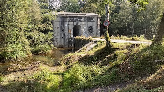
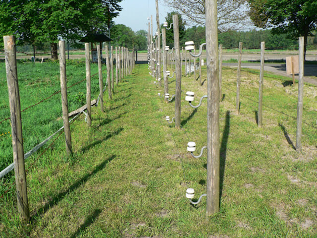
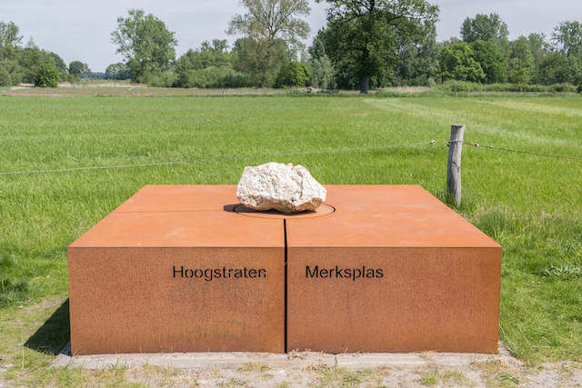
There is a lot to discover on this beautiful site. First of all, the view from the seven-metre-high tower is really impressive. The front point of the grove that we look at from the lookout tower is a 90° corner of the national border with the Netherlands. The point used to be called "Ellendigen Berk" after an ancient tree that effectively marked the border point. Since 1843, border post 232 has been there. You can also find a reconstruction of the Death Wire there. In order to prevent young men from travelling from Belgium to neutral Netherlands to reach the front in the Westhoek, the German occupier erected an electric wire barrier along the border with the Netherlands (approx. 300 km long) in 1915. At least 6 victims are known in Wuustwezel who died on the death wire.
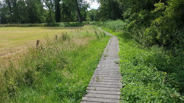
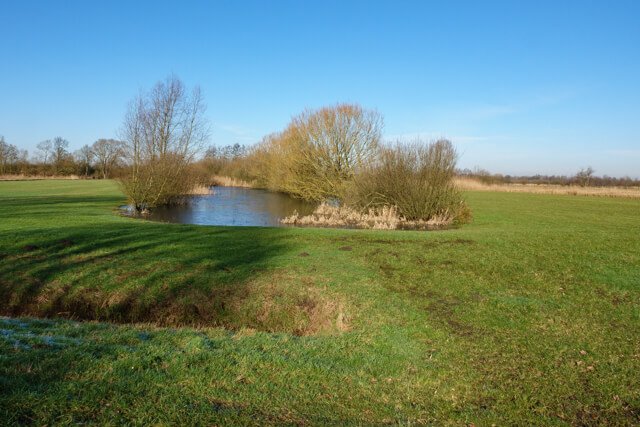
The intensive peat cutting over several centuries has permanently marked the area around the Klot. Based on archive documents, we learn that approximately 2.7 metres of peat was dug up. The peat pole at the end of the boardwalk is exactly the same height and gives you a good idea of how much peat has been dug here. When peat cutting stopped, this area quickly changed into an impenetrable swamp with vast open pools. Peat has reappeared on the lower parts in the last 200 years. This is how 'De Maatjes' was formed naturally. From De Klot you walk a short distance to the starting point.
Download PDF for route description and map.
Some trails can be muddy.
POI 5 - Lookout tower De Klot.
From the lookout tower you have a beautiful view over De Maatjes. There is a reconstruction of the Death Wire and information boards tell you more about the intensive peat cutting over several centuries.
More information.
Website: Wuustwezel.
Walks Antwerp.