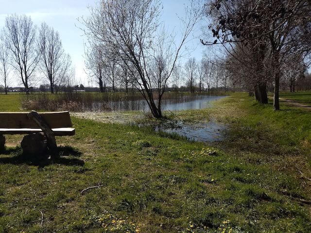
This rural walk takes you via the Borsebeek, the Koude Beek and the flooding area Fortloop to Fort 3. After a round in the Fort, the route continues along the Fortloopbeek to the nature reserve Nosegoed and along the Geboorte forest.
Distance: 11 km.
Time: 3h00.
Grade: Easy.
Type: Circular.
Gps Track: Yes.
Route description: Yes.
Wheelchair: Not suitable.
Dog: Not allowed | An alternative is provided in the itinerary.
Height gain: Flat.
Trail: Paved and unpaved.
Marking: Nodes Municipality of Borsbeek and Bicycle nodes.
Hiking shoes recommended.
Advertisement.
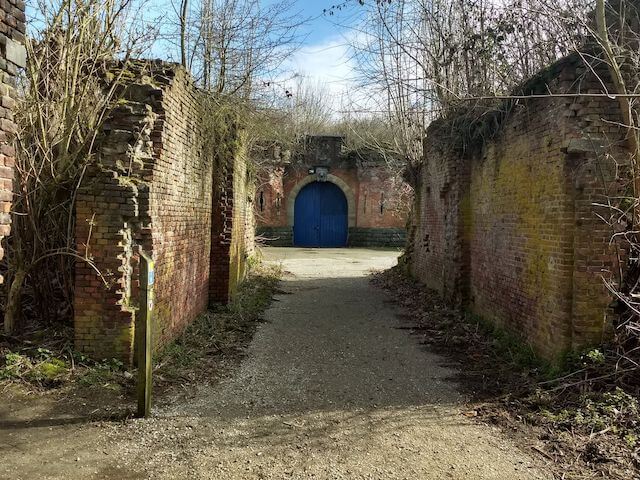
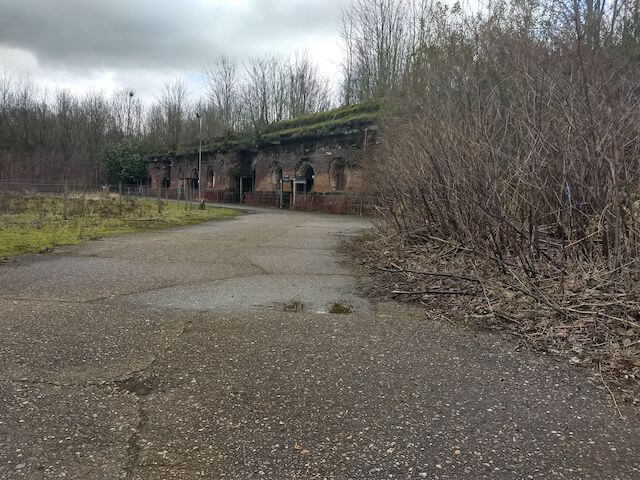
Fort 3.
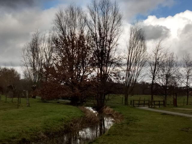
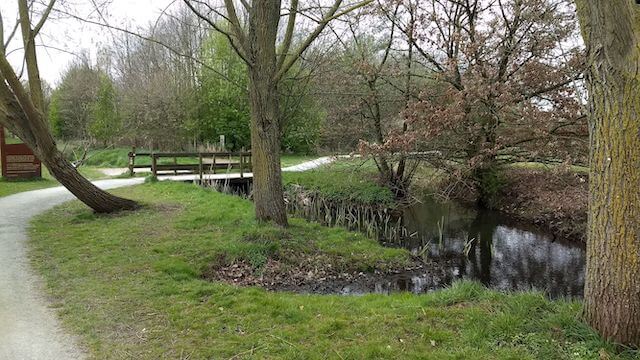
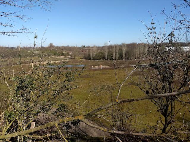
We start at the chapel in the car park near the water tower Borsbeek and follow the Borsbeken path (green arrow) towards Fort 3 along the Borsebeek and Koude Beek. No dogs are allowed between cycle junctions 5 and 12, but the public (car-free) road next to it is the alternative. Along the Fortloop flood zone we reach Fort 3, where we walk around. On the outside of the fort we walk through the closed grazing zone. No dogs are allowed here either, but there is an alternative walking path on the edge.
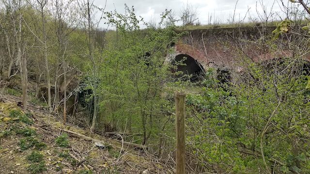
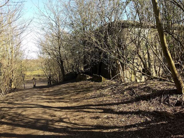
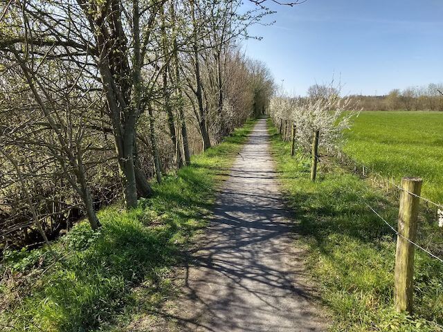
When we leave the fort, we walk along the Fortloopbeek towards Sporthaven and then, via a rural loop, arrive at the Nosegoed area, a piece of nature reserve just outside the center of Borsbeek. We continue the Borsbeken path along the Geboorte forest. A little further we can see remnants of Schans III. This sconce is part of a series of 18 small sconces built between 1906 and 1912 between the older Brialmont fortresses. They are small concrete armor pieces with an armored turret aimed at the enemy. We return to our place of departure via a few small roads.
Download PDF for the complete route description.