Walking route
The Marum Nature Reserve.


The Marum.
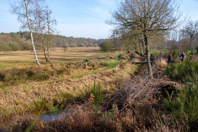
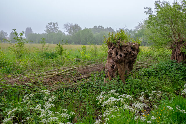
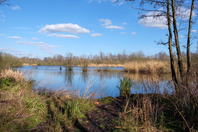
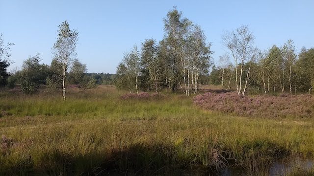
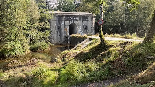
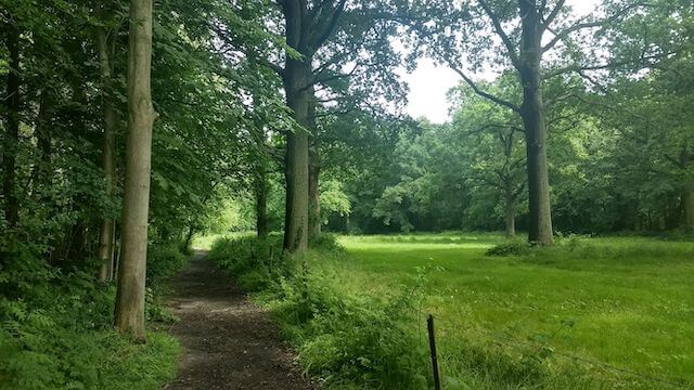
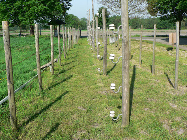
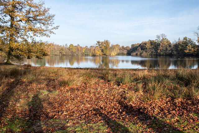
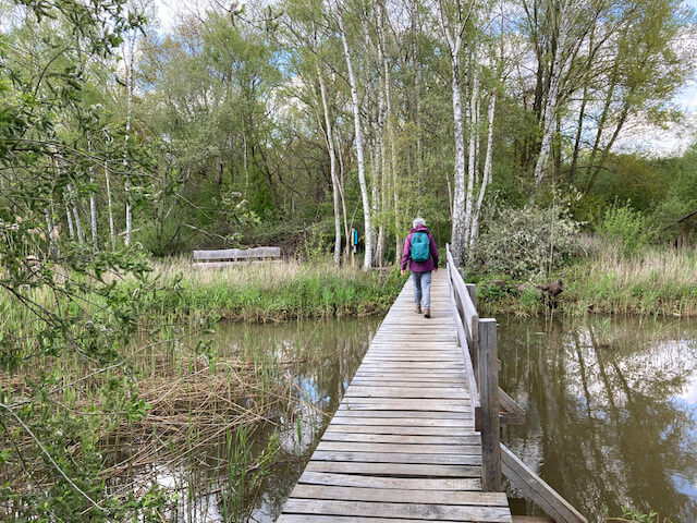
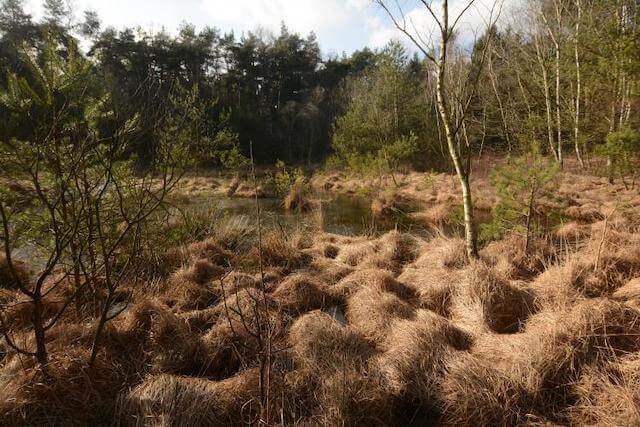
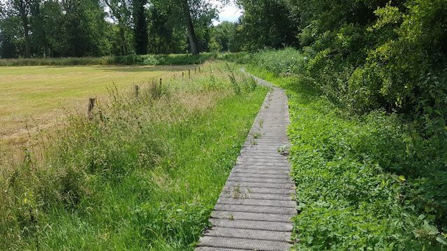
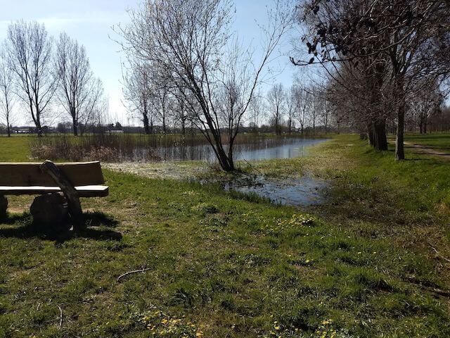
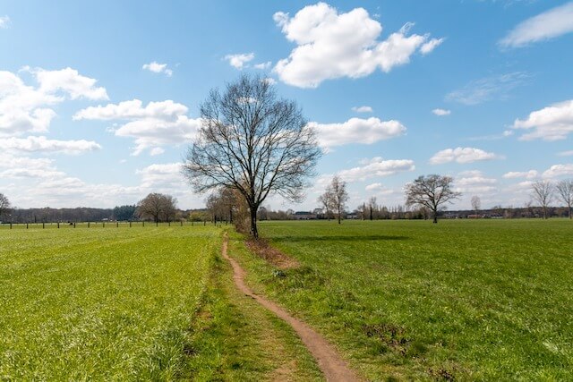
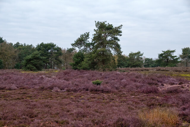
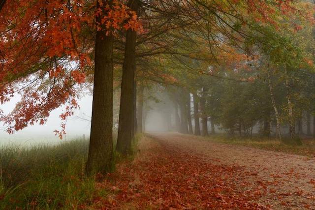
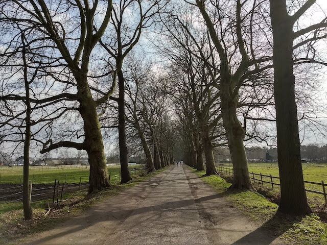
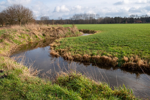
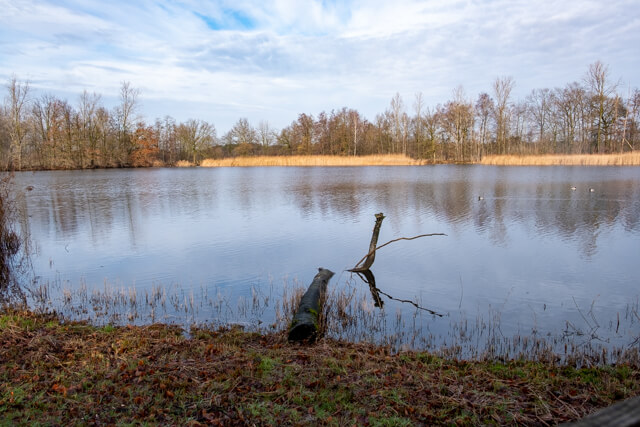
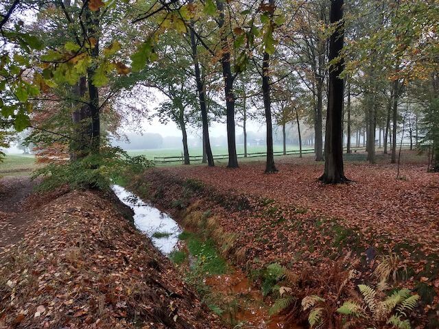
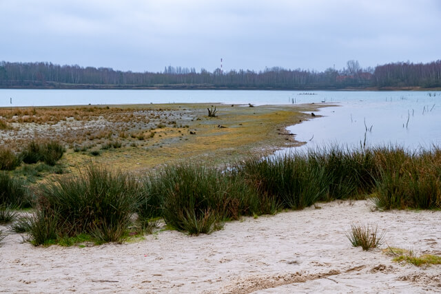
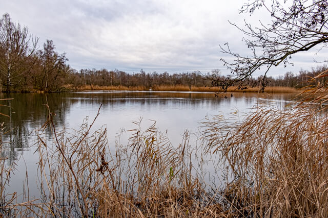
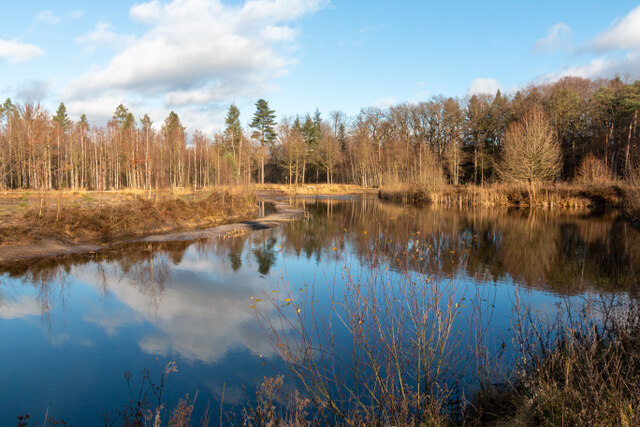
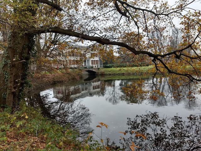
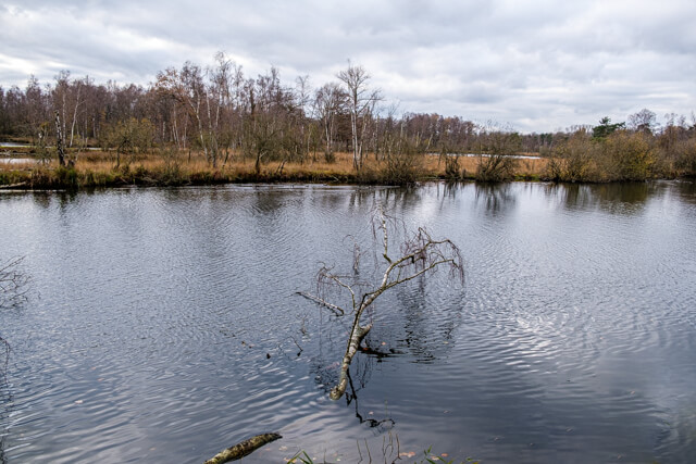
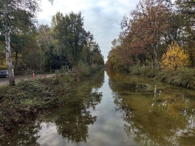
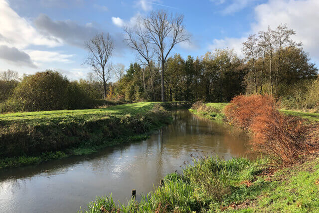
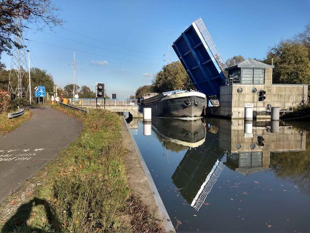
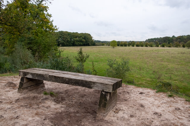
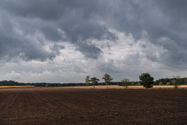
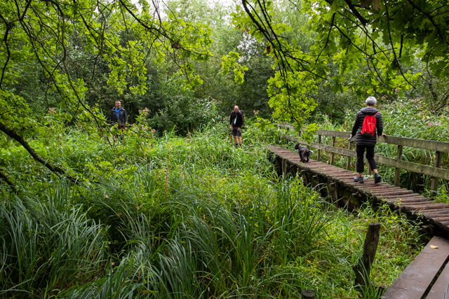
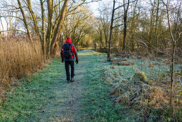
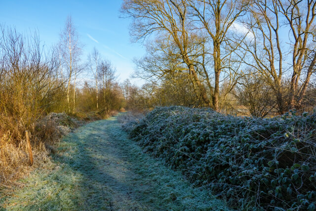
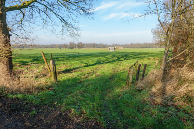
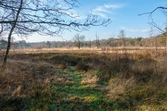
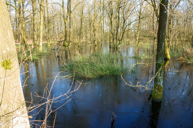
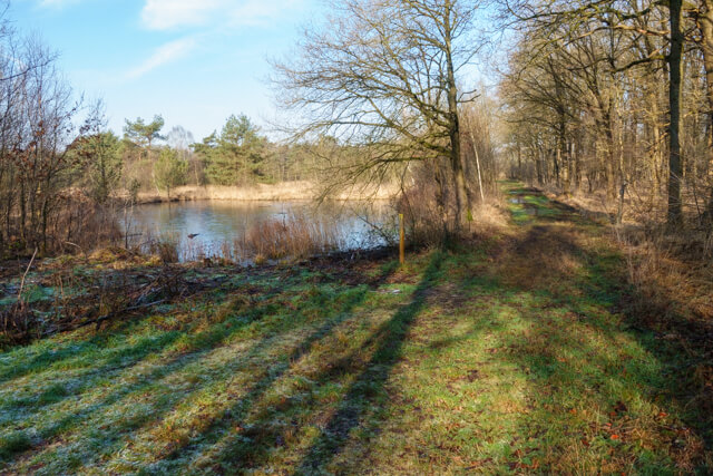
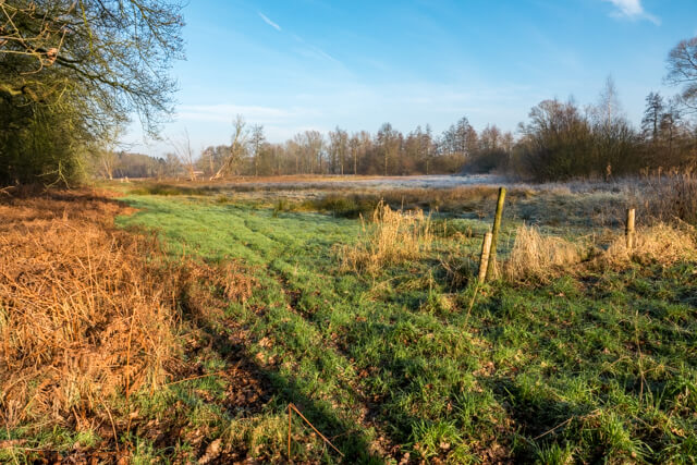
This walk in the nature reserve Het Marum goes through forest, heathland and poor grasslands. This typical Kempen landscape has been largely preserved because it was part of the military training area Groot Schietveld for more than 100 years. You walk along waterways such as the Kleine Aa or the Weerijsbeek and the Stapelheidebeek. Due to its military past, the Marum still houses relics from WWII: such as riflemen's and tank pits and the Nieuwe Brug that was built over the Weerijs in 1731.
Distance: 7 km.
Time: 2h00.
Grade: Easy.
Type: Circular.
Gps Track: Yes.
Route description: Yes.
Wheelchair: Not suitable.
Dog: NOT allowed.
Height gain: Flat.
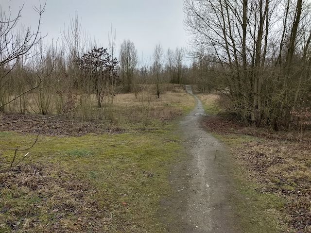
Trail: 100% unpaved.
Marking: Red and yellow posts.
Hiking shoes recommended.
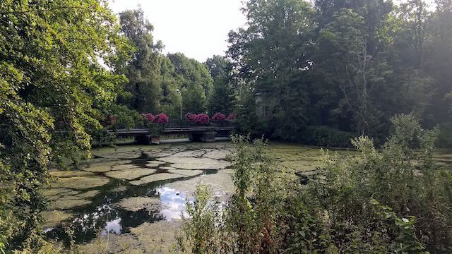
Marumvoorde.
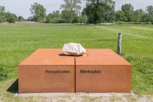
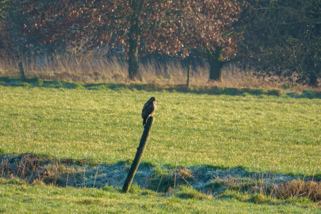
This exceptional forest and heathland area is home to the largest adder population in Flanders and is home to a large colony of deer. During the walk you will pass waterways such as the Kleine Aa or Weerijsbeek and the Stapelheidebeek. The stream valley landscape of the Aa is a unique ecosystem with a great biodiversity. The Marumvoorde is a historic crossing in the nature reserve. A 'voorde' is a shallow fordable place in a stream or river that was used by travellers in the past to cross the water. Over time, a bridge was built at this location, which has been renewed several times, leading to the name 'Nieuwbrug'. From this crossing, old roads fan out in different directions: westwards to Wuustwezel, Achterbrug and Antwerp, and on the south side to the Marumakkers, the old heathland. On the other side of the stream, the roads lead to Loenhout and Brecht. These roads are possibly hundreds of years old and have been well preserved here, which is unique in Europe.
Download PDF for route description and map.
Some trails can be muddy.
The area is NOT accessible between mid-March and mid-June during the breeding season.


Walks Antwerp.