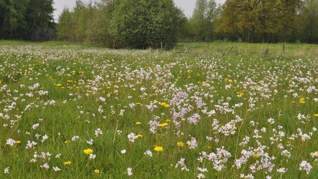
During this walk you can see what the Mark Valley looked like before it was straightened in the 1970s. The area is situated in a row of dunes that used to extend for a distance of two to three kilometers on the flank of the valley of the Mark. The ridges of those dunes used to be called the Aschputten mountains. That is why the area itself was named Aschputten.
Distance: 4 km.
Time: 1h00.
Grade: Easy.
Type: Circular.
Gps Track: Yes.
Route description: Yes.
Wheelchair: Not suitable.
Dog: Allowed.
Height gain: Flat.
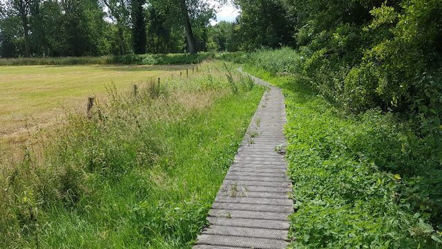
Trail: 90% unpaved.
Marking: Walking nodes.
Hiking shoes recommended.
Advertisement.
The Three Sisters.
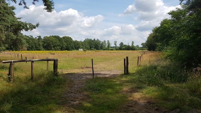
The walk takes you through and past the De Mosten recreation area, which is owned by the city of Hoogstraten. A large water feature is centrally located in this area. This was created after sand extraction for the construction of the E19 motorway. It is an important stopover for many migratory water birds. In the winter period you will find many types of ducks in the Mosten. The grebe and tufted duck are some of the most notable appearances. Many freshwater fish also find a suitable place to live in the "well".
The walking path takes you further along some remnants of the Mark. The meanders along the walking path are popularly called the Three Sisters. Legend has it that in the Three Sisters, three wheels or swirls, there is an old church bell that used to ring at midnight on Christmas Day. The name "de drij Gezusters" is reminiscent of "de drij Matronen". It is a reference to ancient Celtic mother goddesses or "moiren". Tradition also indicates that three sisters would have drowned here.
Tip: On the way you can find 15 caches and a bonus cache. All recreation & sports that you can do on this domain, you will also discover during this series because you have to find the correct (sports) symbol for each cache to get the bonus coordinates.
More information: www.geocachen.be
Download PDF for nodes to follow.