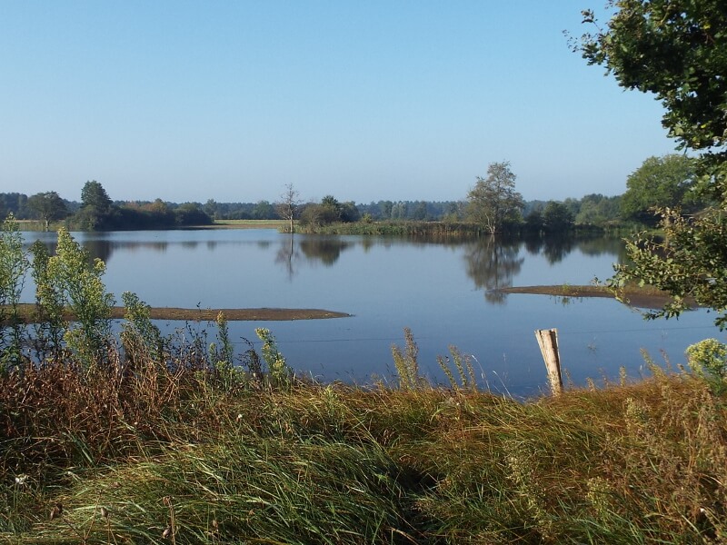
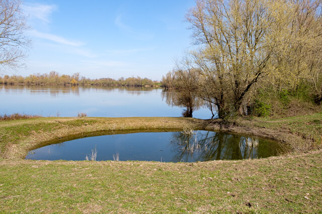
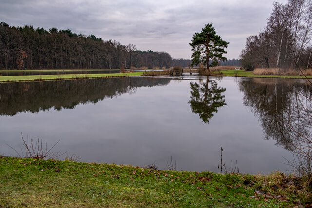
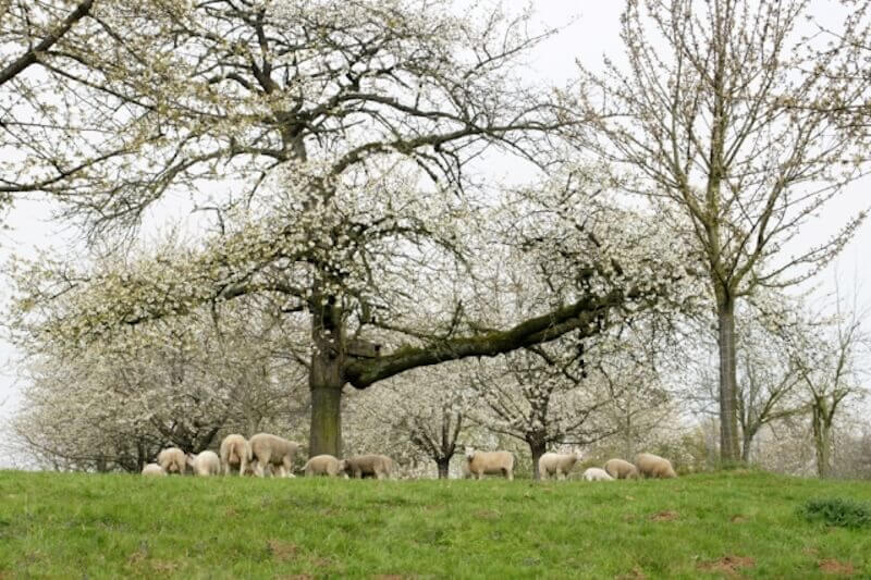
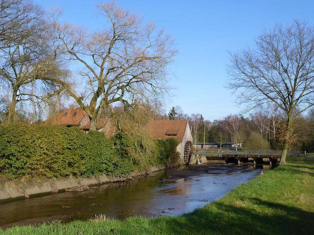
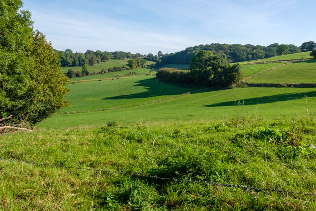
Cross-border walking tour through the valley of the Warmbeek, the Haarterheide and the Groote Heide on the Dutch side of the border. A walking tour that goes along a stream, through woods and over heathland.
- Hits: 544
Select your language

Cross-border walking tour through the valley of the Warmbeek, the Haarterheide and the Groote Heide on the Dutch side of the border. A walking tour that goes along a stream, through woods and over heathland.

This forest walk in the Hoge Kempen National Park goes from the former gravel pits in the Papendaalheide area to the Hei- and Meibos. These coniferous forests consist mainly of Corsican and Scots pines that were planted at the end of the 19th century to provide wood for the mining industry in the region.

This walk in the Hoge Kempen National Park goes through the beautiful Munsterbos that lies on the border of the poor Kempen and the fertile Haspengouw. The walk goes through old mixed deciduous forests along the Sint-Amor chapel to the Staatsvijvers where you have a beautiful view of the ponds that date from the beginning of the 17th century from the viewing tower. In the Bonijterbos you walk over winding forest paths to the castle of Groenendael. Through an open landscape with grasslands it continues in the direction of the meandering Munsterbeek.

Hiking tour on the Tiendeberg and the Plateau of Caestert with Fort Eben-Emael. Special plants occur on the Tiendeberg that cannot be found anywhere else in Flanders due to the typical soil conditions with a transition from marl or soft limestone at the bottom of the slope to gravel higher up.
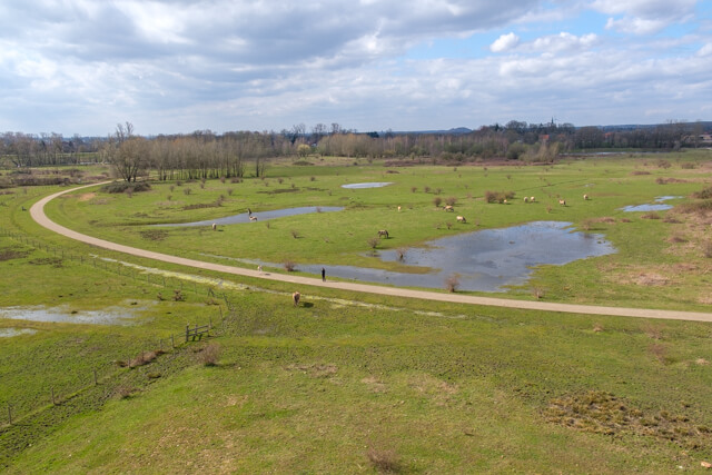
For centuries, the Schulensbroek was one large natural flood plain that was flooded for several months a year. The fields were very fertile, much to the delight of the farmers. Hay from the Schulensbroek was very much in demand. In the mid-seventies, people tried to keep the water of the Demer and its many tributaries within limits with the construction of a holding basin. The Schulensmeer is a fact.
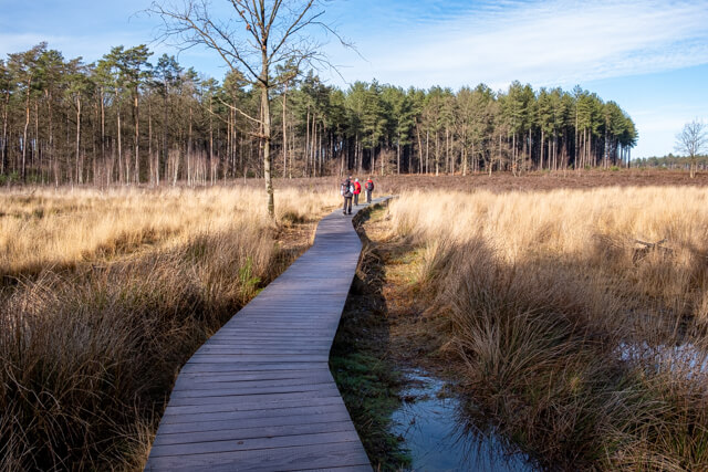
This walk goes through the Holven which is part of Bosland. You walk through dry coniferous forests on former drifting dunes to the Heide Achter De Steenweg to reach the nature reserve 't Plat. Here you walk through wet swamp along the Holvense brook and over wet and dry heath, interspersed with brushwood and wetland forests.
Where not so long ago the coal mine of Eisden was still running at full speed, you now walk through a beautiful piece of nature. You can enjoy a surprising landscape along the Grote Plas and you can climb the Lange Terril and Tweelingen Terril with spectacular panoramas!
You walk through the village center and through the castle park of Vilain XIIII to the Maas. A little further you discover the beautiful nature in the Maesbempder Greend. Along the way you will encounter an extensive variety of landscape elements such as hedges, old dykes and orchards.
This walk goes through the Zavel and Gruitrode forests around the pearl of the Dune Belt, the Oudsberg. This is the highest and largest open drifting dune in Flanders. It rises 85 m above sea level. The Oudsberg is surrounded by beautiful heathlands, stately forests and heather-poor grasslands.
This walk in the Stramproyerbroek passes wet marshes with alder and willow thickets, but also through oak forests. Along fields and meadows you reach the nature reserve De Zig, a vast swamp area between the Abeek and Lossing.
This varied walk takes you from Opoeteren through the Dorperheide and via the cultural landscape De Houw to the Vossenberg on the edge of the Kempisch Plateau. Then it goes to Bergerven nature reserve and along the Zuid-Willems canal. The last part you walk through the valley of the Bosbeek.
This versatile walk goes through a typical landscape on the Maas. You go through the nature reserves Kerkeweerd and Negenoord, the Maasuiterwaarden and the Oude Maas area.
This walk goes through mixed forests of the Gerhagen nature reserve and along fens through forest heather in the nature reserve Averbode Heide, in short pure nature.
This beautiful walking route shows you the core of the Luysen nature reserve. Three viewing huts offer you a panoramic view of the ponds of the nature reserve. You follow the course of the Abeek, one of the most important streams for the GrensPark Kempen ~ Broek, and you go through the varied landscape of the Sint-Maartensheide.
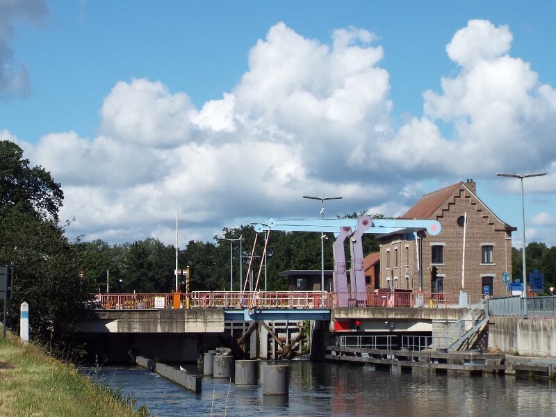
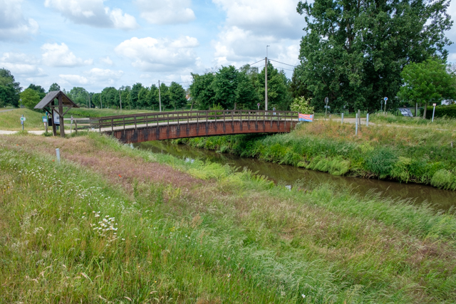
Hike from the town of Lozen to the Lozerheide nature reserve. The construction of the Zuid-Willems canal by order of King Willem I in 1826 made Lozen a hub of channels and locks.
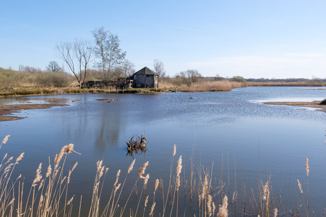
This varied walk goes through the nature reserve Resterheide, a name that refers to the former heather landscape, of which you can still find traces of it. In this source area of the Bolissenbeek and Zwarte Beek you walk through forests and along wood edges that mark the boundary of fields and meadows. On the way you have a nice view of the Begijnenvijvers from the lookout tower and you can spot many water birds in the viewing hut at Zwartwater fen.
This walk goes through the Bolderberg nature reserve with ponds, mixed forests, grasslands and heather. The route goes from the Galgenberg to the Weyerman and through the Vogelzang forest to the Bolderberg where you have a nice view of the ponds and the castle of Terlaemen. In domain Bovy you walk back over water to the starting point.
The Teut is worthwhile in all seasons, but certainly in late summer, when the heather flowers beautifully purple. You literally walk between the moors, encounter unique fens and enjoy an exceptional panoramic view of the region on the hills.
This route runs on the edge of the Kempisch Plateau through the Molenheide with beautiful views of Zonhoven. You pass the prehistoric Holsteen, which was used by the first people as a polishing stone.
A varied walk through sloping Haspengouw. On this walk you get a mixture of vistas, hollow roads, orchards, meadows, fields and numerous chapels.
This very varied walk in the Hageven - De Plateaux nature reserve first goes along the banks of the meandering Dommel before going through an open landscape in the direction of the heath with beautiful fens. Through a beautiful pine forest it continues in the direction of the Pelterheggen, a unique area with flow meadows.
Unique to the downstream of the Zwarte Beek is the rapid transition from the wet marshes to very dry ridges. On the border of Kempen and Hageland you walk along snipe meadows and even large grazers are not missing on the route.
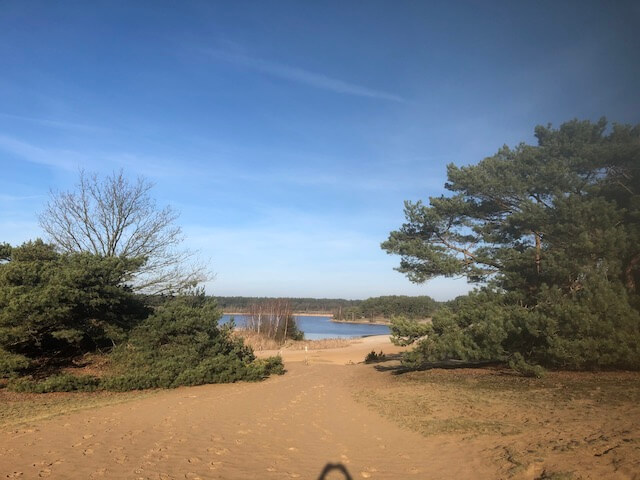
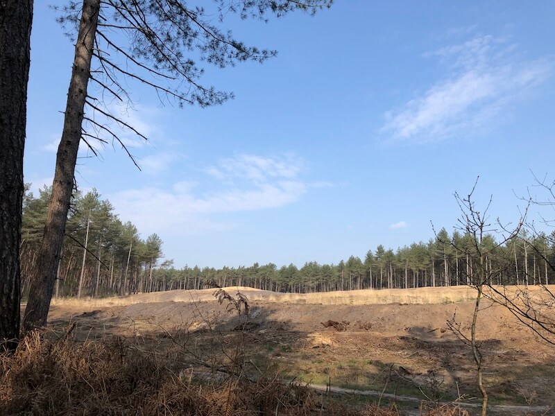
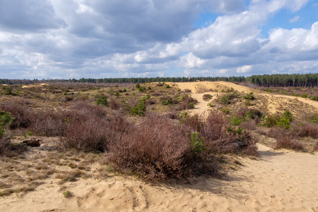
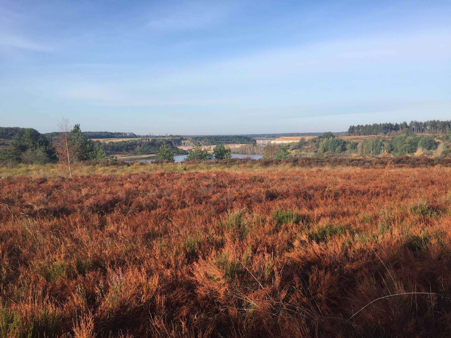
This walk goes over the Lommel Sahara, a unique sand and dune landscape that belongs to the Bosland forest area. Along the way you can climb the 30 meter high lookout tower and walk across the footbridge of the Kempisch canal.
Between Genk and Hasselt lies the De Maten nature reserve that will play the leading role in this walk today. First you walk through the Diepenbeker forest and then via the Stiemerbeek to the Slag mill. From here it continues along a swampy nature trail that has beautiful views of the ponds of the nature reserve. Just past two bunkers that were part of the line of defense during the Second World War, we stop briefly at a bird watching wall that offers a beautiful panorama of the Augustinian ponds.
From Moelingen in the Maasdal you walk past fields and orchards to the Dutch church village of Mesch. This village was on September 12, 1944 the first Dutch village that was liberated by American soldiers. From Mesch you walk along vast fields interspersed with numerous orchards in the direction of the Berwijn nature reserve. Oaks, hornbeam trees and a lot of spring flowers grow on the chalky slopes of this area.
This hiking route takes you through the cross-border nature reserve Altenbroek between 's-Gravenvoeren and the Dutch town of Noorbeek. It owes its name to Castle Altembrouck, which you see lying in the distance on the way. The Noordal, the hollow roads and the Schoppemerheide are true gems to walk through.
This walk in the National Park Hoge Kempen introduces you to one of the scarce wet brook valleys of the Kempens Plateau, a hidden gem: The valley of the Ziepbeek!
On this beautiful walk you will see not only the typical sources of the Voer region, but also the half-timbered houses in Veurs, badger fortresses and beautiful forests. The unique views make it an absolute hit.
This walking route shows you all the beautiful places in the Gulp valley near Teuven. From the small village you walk in the direction of the Rood Forest. After a small piece of forest it continues through an open landscape in the direction of the Gulp. Through the hill forests you reach the plateau of Crapoel and the Teuvender mountain. Along the castle of Sinnich, which played an important role in the First World War, you walk back to Teuven.
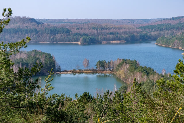
This walk in the Hoge Kempen National Park first goes through the Mechelse Heide, the largest heathland of Flanders, with panoramic views and past gravel and sand quarries. Then it goes towards the Valley of the Kikbeek source where fjord ponies graze on the heath and where you can see lignite layers on the surface.