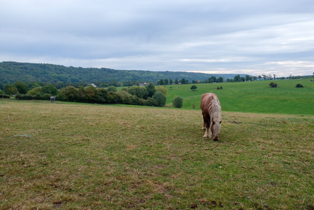
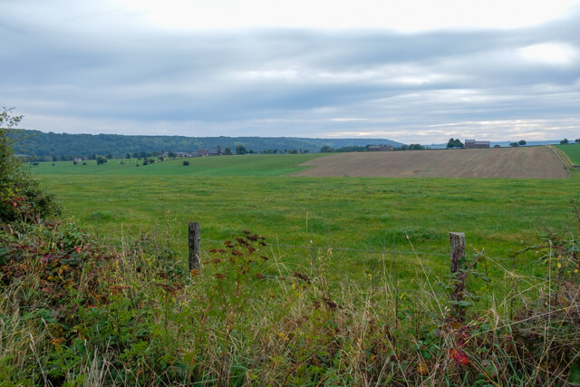
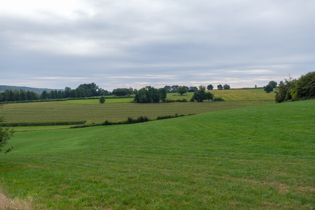
This hike shows you all the beautiful places in the Gulp valley near Teuven. From the small village you walk in the direction of the Rood Forest. After a small piece of forest it continues through an open landscape in the direction of the Gulp. Through the hill forests you reach the plateau of Crapoel and the Teuvender mountain. Along the castle of Sinnich, which played an important role in the First World War, you walk back to Teuven.
Distance: 11 km.
Time: 3h30.
Grade: Moderate.
Type: Circular.
Gps Track: Yes.
Route description: Yes.
Wheelchair: Not suitable.
Dog: Allowed.
Height gain: 232 meters.
Trail: Paved and unpaved.
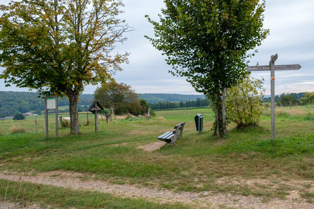
Marking: Walking nodes.
Hiking shoes recommended.
Advertisement.
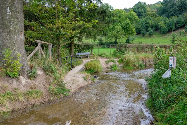
The Gulp valley.
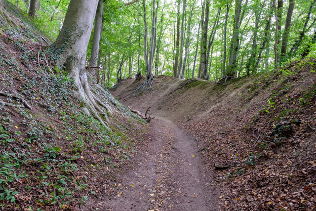
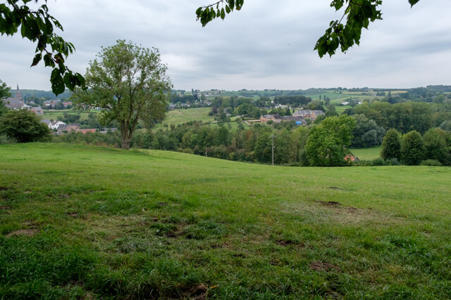
From the village you walk up through an open landscape to the Rood forest. You go a bit through this beautiful beech forest in the direction of De Plank. A fun fact for enthusiasts, when you leave the forest you can get a traditional ice cream from the vending machine at 't Voerboertje. Via the Plank you walk into the Netherlands to get to the beautiful river Gulp. At the bridge across the river is a nice picnic bench. You cross the river and begin the climb from the slope forest to the Teuvenderberg, along the way you have beautiful views of the valley. Via the Beusdal forest you descend to the castle of Sinnich, which is not accessible to the public. Along the edge of the forest you walk further in the direction of Teuven.
Download PDf for nodes to follow.
Some paths can be soggy.
POI 1 - Castle of Sinnich.
The castle is a former abbey that was founded in 1250 from the Kloosterrade abbey. The current castle consists mainly of the former abbey residence and is still privately owned. Just like the other castles of Voeren, this is also not accessible to the public. The tower and the facade can be seen from the road.
No additional information.