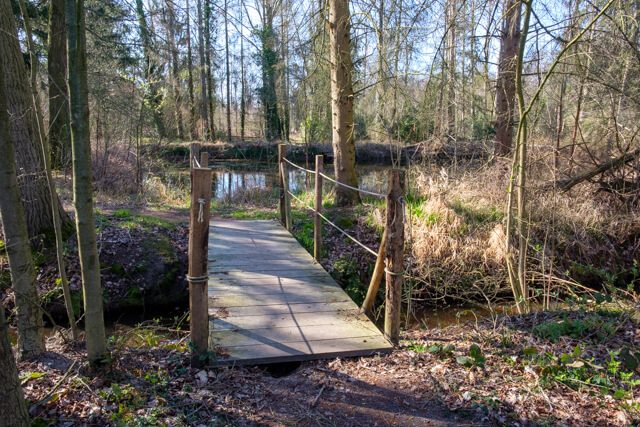
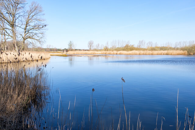
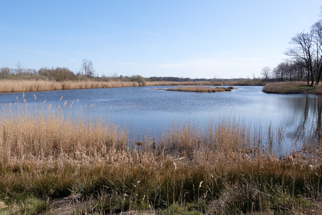
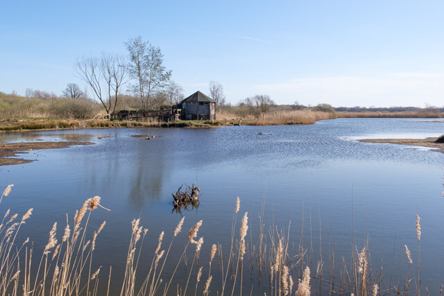
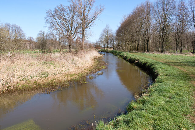
This beautiful walking route shows you the core of the Luysen nature reserve. Three viewing huts offer you a panoramic view on the ponds of the nature reserve. You follow the course of the Abeek, one of the most important streams for the GrensPark Kempen ~ Broek, and you go through the varied landscape of the Sint-Maartensheide.
Distance: 13.2 km.
Time: 3h30.
Grade: Moderate.
Type: Circular.
Gps Track: Yes.
Route description: Yes.
Wheelchair: Not suitable.
Dog: Allowed.
Height gain: Flat.
Trail: Mainly unpaved.
Marking: Yellow Hexagon and Red Triangle.
Hiking shoes recommended.
Advertisement.
Sint-Maartensheide.
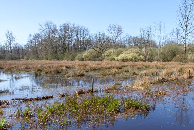
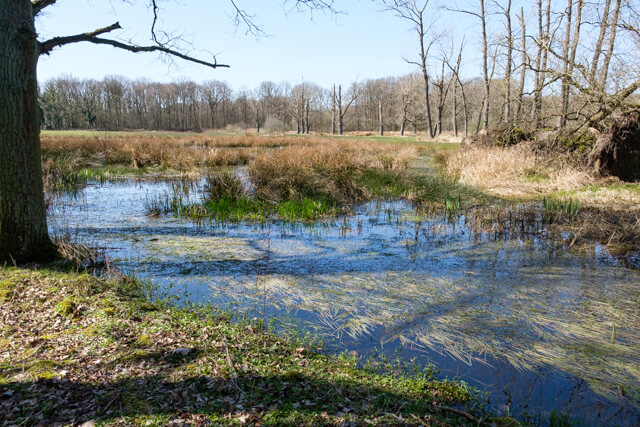
Like many places in Limburg, the Sint-Maartensheide has a past as an extensive heathland. In addition to remnants of the heather, you will now find a mix of woods, meadows and fields. During the walk, the small-scale landscape elements such as wood edges, thickets and pools stand out. The red-backed shrike and the tree frog feel at home in this varied landscape. The Eek and the Abeek feed a large pond complex, De Luysen. The name has nothing to do with the annoying itchy animals that bother our heads. After all, Lues is the East Dutch word for “reed”. This area is surrounded by dry oak forests and swamps of the Grootbroek and the Stramprooierbroek and the agricultural areas of St.Maartensheide and Kreiel. Make a stop at the Voorste Luysmolen, where a pleasant picnic meadow has been set up.
Download PDf for route description.
Take binoculars along.