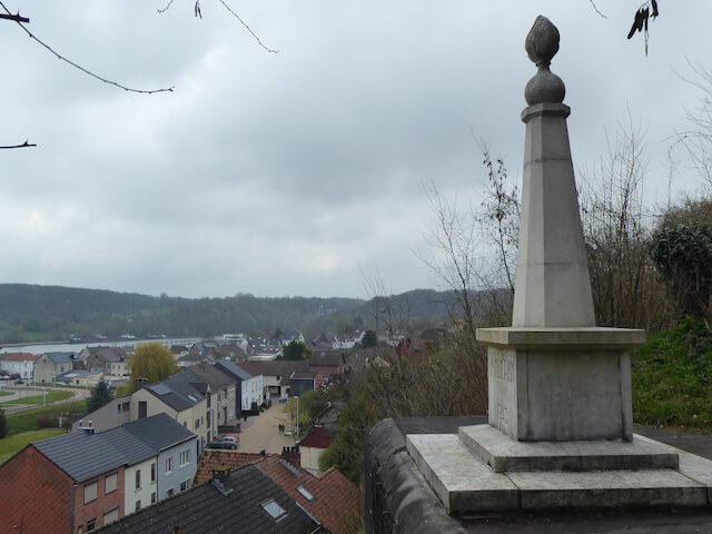
Hiking tour on the Tiendeberg and the Plateau of Caestert with Fort Eben-Emael. Special plants occur on the Tiendeberg that cannot be found anywhere else in Flanders due to the typical soil conditions with a transition from marl or soft limestone at the bottom of the slope to gravel higher up.
Distance: 18 km.
Time: 4h30.
Grade: Heavy.
Type: Circular.
Gps Track: Yes.
Route description: Yes.
Wheelchair: Not suitable.
Dog: Allowed.
Height gain: 413 meter.
Trail: 83% unpaved.
Marking: See PDF route description.
Hiking shoes recommended.
Advertisement.
Plateau of Caestert.
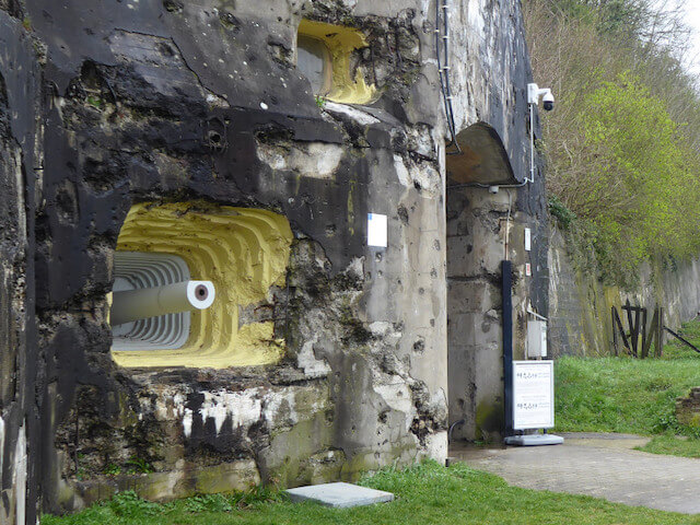
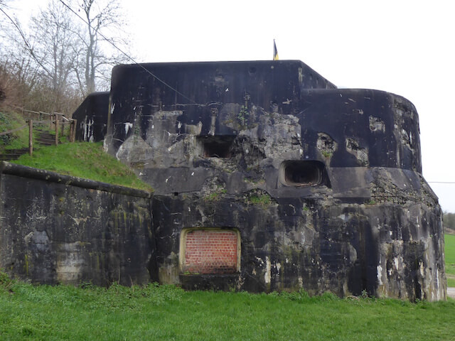
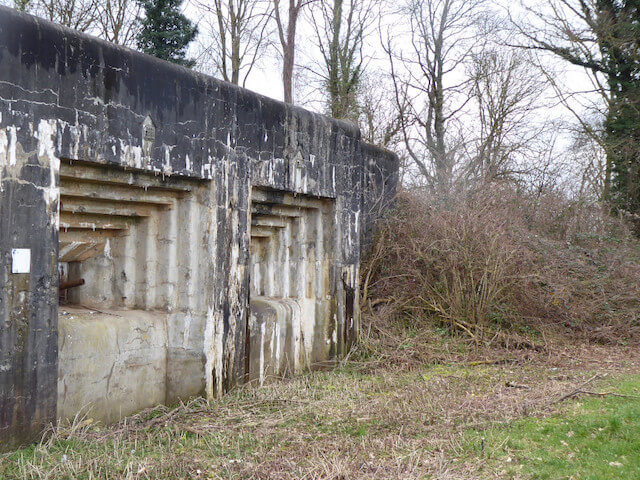
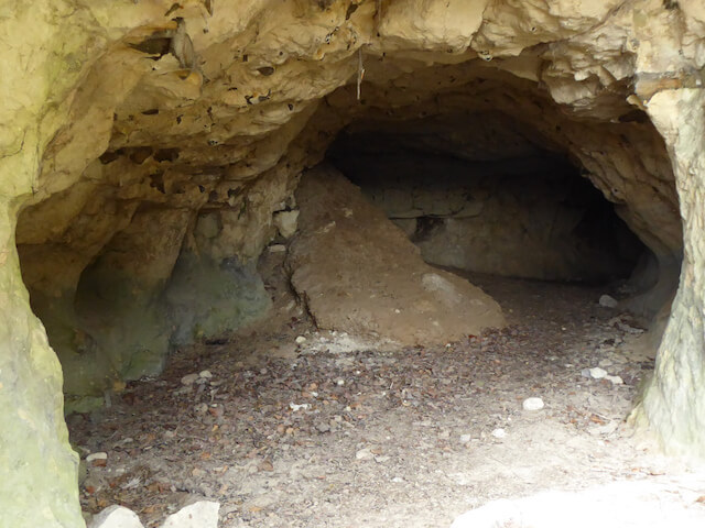
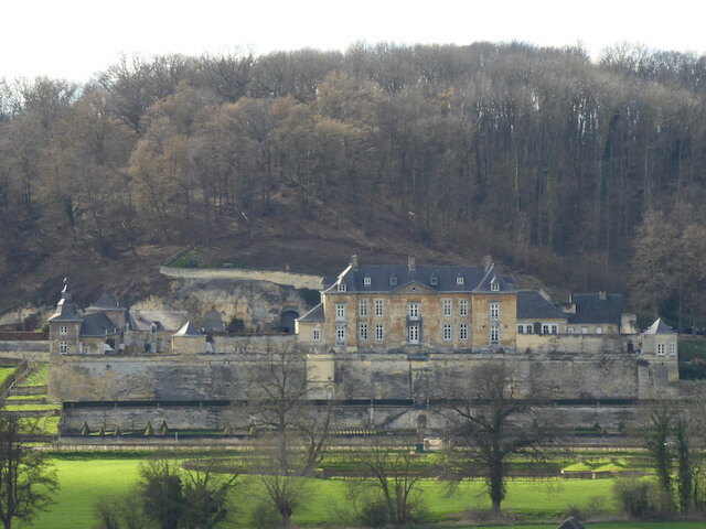
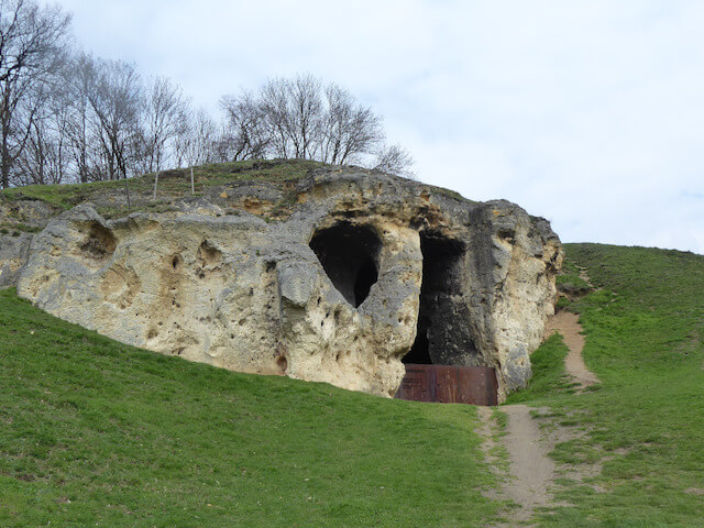
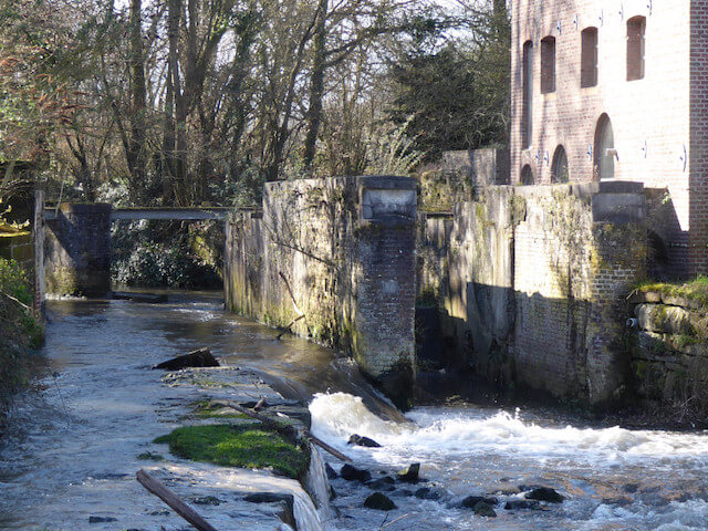
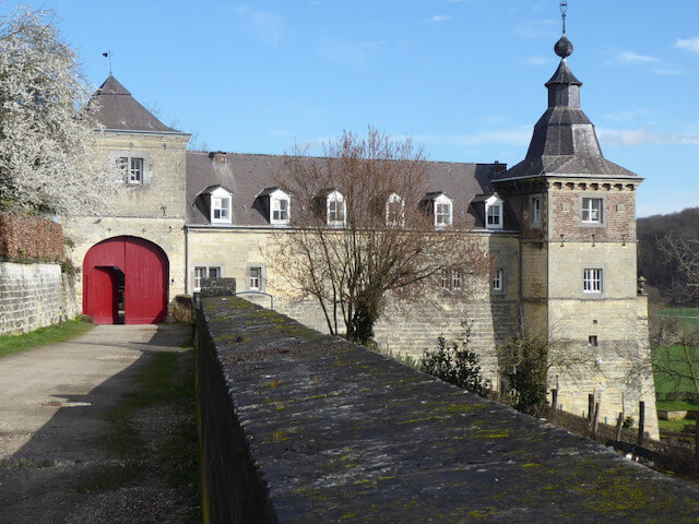
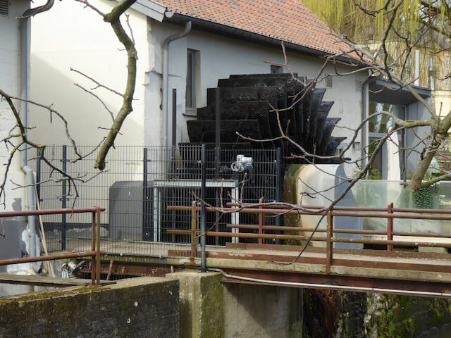
The Plateau of Caestert is located on the border of Flanders, Wallonia and the Netherlands and stretches from Visé in Belgium to Maastricht. The plateau consists of hillside forests interspersed with grasslands. In 1930, the plateau was cut through by the construction of the Albert Canal. In the northern part in Sint Pietsberg is the ENSI quarry and the south side, which is also called the Plateau of Eben-Emael, are quarries, but also Fort Eben-Emael. Fort Eben-Emael was seen in 1939 as the strongest fortress in Europe. The fortress had to defend Belgium against a possible attack from Germany. The fortress is dug into a marl hill and has an area of 750m by 950m and consists of three levels, two underground and one above ground. On May 10, 1940, 10 large transport gliders placed an elite unit of German paratroopers on the plateau above the fort and quickly destroyed the combat positions. On May 11, the Germans surrounded the fort, after which the fort fell around noon. As further attractions, the walking tour passes the former mill Nekum or Nekummermolen, a water mill converted into a residential house and the Smokkelmolen and at the end of the walking tour Kasteel Neercanne or Château Neercanne, formerly Agimont Castle, a seventeenth-century baroque castle.
Download PDF for route description.