Walking route
Kattevennen.


Kattevennen.
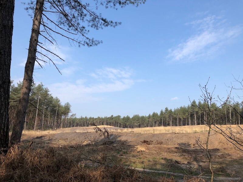
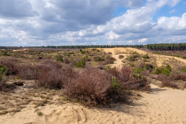
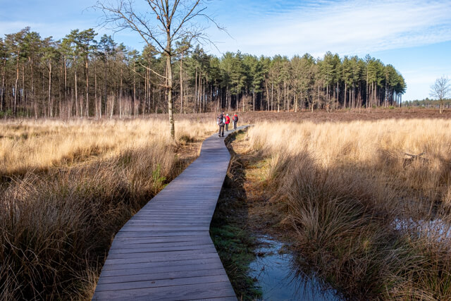
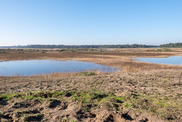
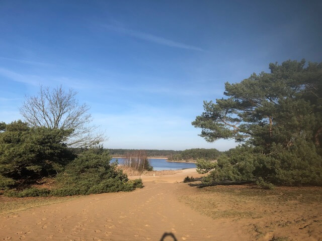
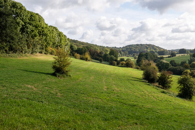
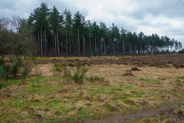
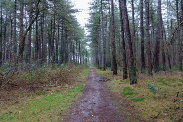
This forest walk in the Hoge Kempen National Park goes from the former gravel pits in the Papendaalheide area to the Hei- and Meibos. These coniferous forests consist mainly of Corsican and Scots pines that were planted at the end of the 19th century to provide wood for the mining industry in the region.
Distance: 9 km.
Time: 2h15.
Grade: Easy.
Type: Circular.
Gps Track: Yes.
Route description: No.
Wheelchair: Not suitable.
Dog: Allowed on leach.
Height gain: 61 meters.
Trail: Paved and unpaved.
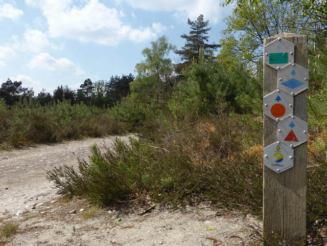
Marking: Blue diamond.
Hiking shoes recommended.
Hei- and Meibos.
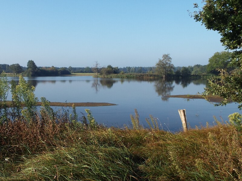
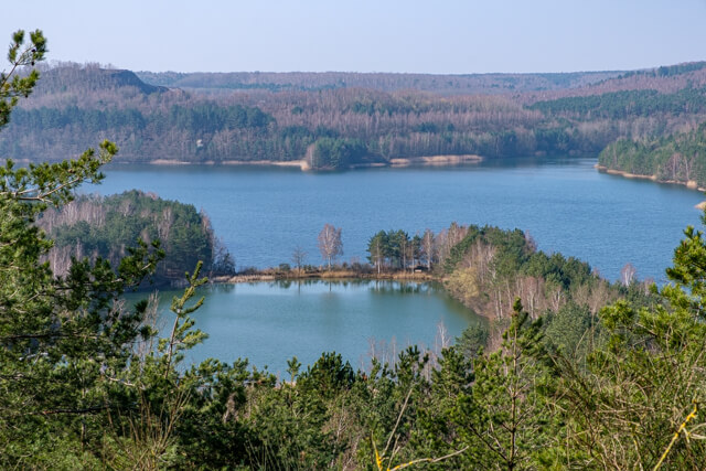
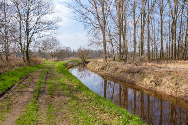
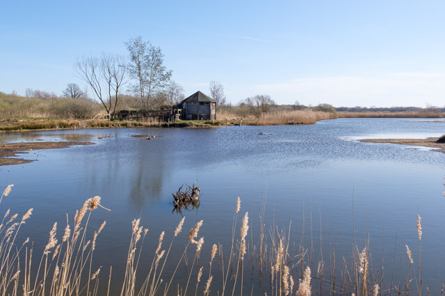
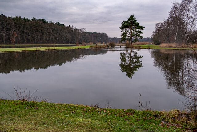
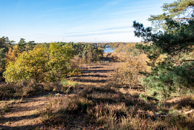
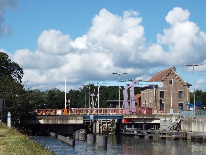
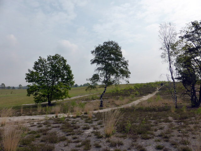
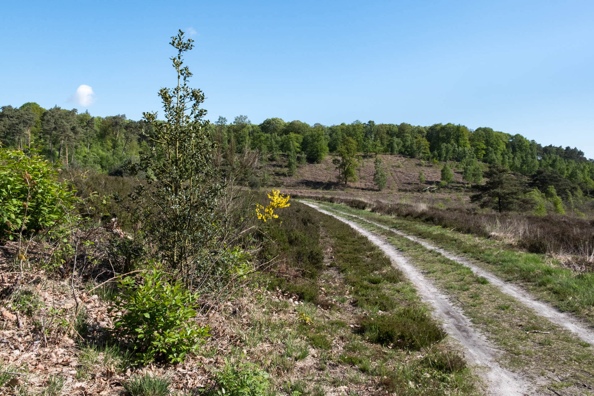
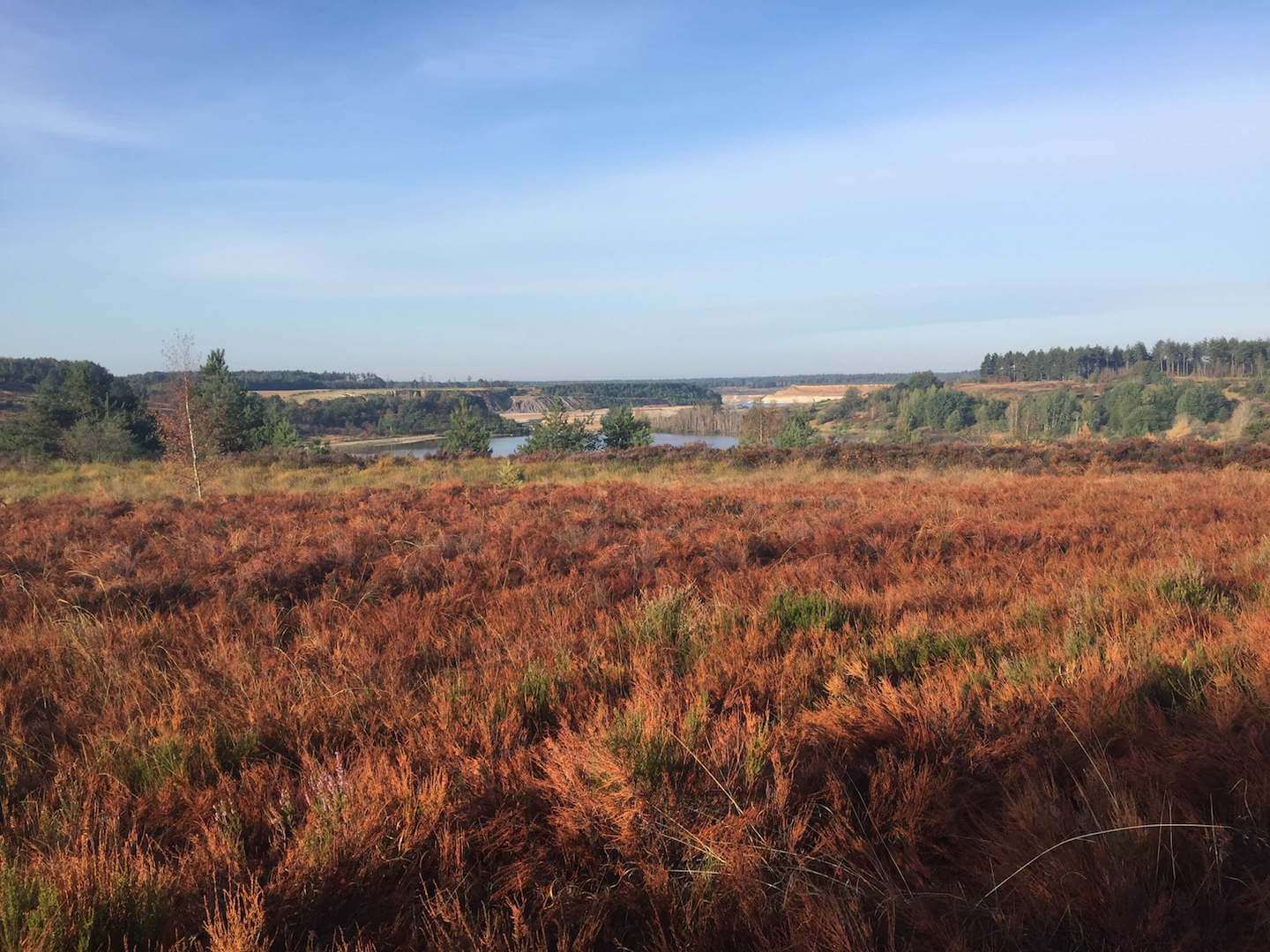
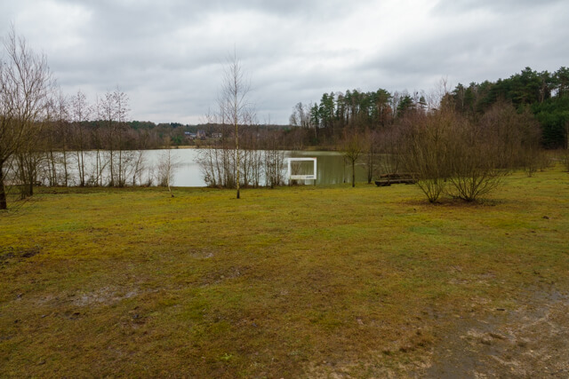
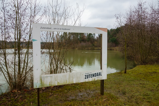
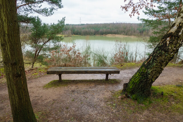
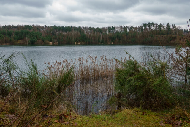
The walk goes next to the De Kyn pond and climbs to a viewpoint from where you have a beautiful view of the former gravel pits. You go around the pond and enter the Hei-en Meibos. The name "Meibos" refers to the cultivation of madder, a plant that was once grown in this region for the extraction of red dye, essential for the local textile industry. Historically, the landscape consisted of heathlands and scattered fields. At the end of the 19th century, these heathlands were transformed into coniferous forests, mainly with plantations of Corsican and Scots pines. This transformation was partly intended to provide wood for the mining industry in the region. You go over a winding path through a beautiful valley. You then follow beautiful forest paths and somewhat wider forest roads until you reach the Ynus Emre mosque. A little further on you dive back into the forest to eventually end up in a somewhat more open landscape. You continue your walk via a quiet road towards the large surfing lake of Papendaalheide. You follow the lake to the starting point.
Download PDF for map.
Some trails can be muddy.
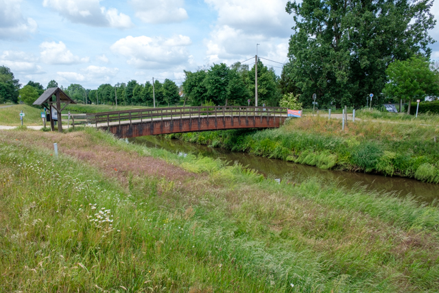
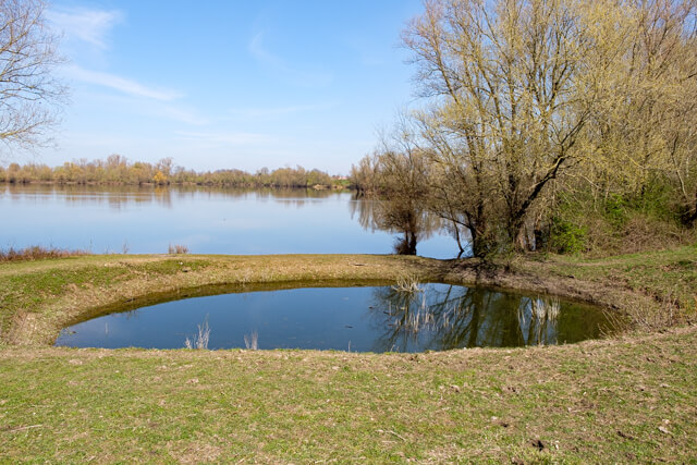
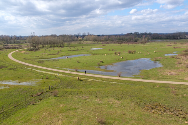
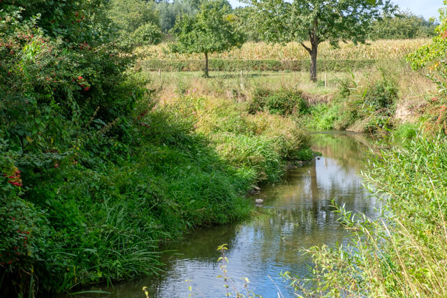
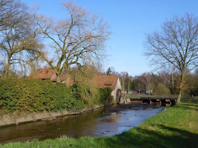
POI 1 - Kattevennen.
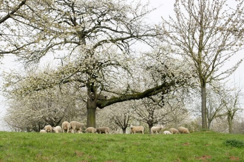
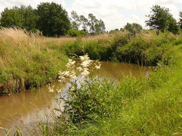
The origin of this name is attributed to a corruption of the English word "cattle", which means "cattle". This would point to the historical use of the area for cattle breeding. In addition, the term "fennen" indicates the presence of marshy or damp areas. The area used to have many wet zones due to the valley of the Wiemesmeerbeek, caused by an impermeable layer of iron sandstone in the soil. This combination of cattle breeding and damp landscapes probably led to the name "Kattevennen".
No additional information.


Walks Limburg.