Walking route
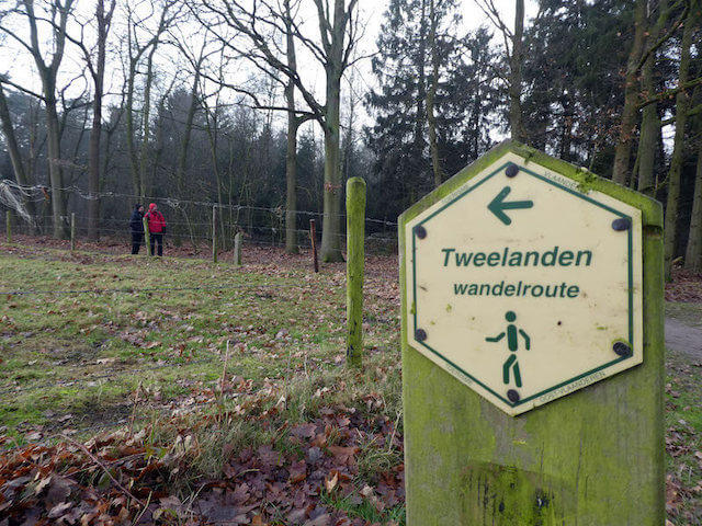
Tweelanden route


Tweelanden route.
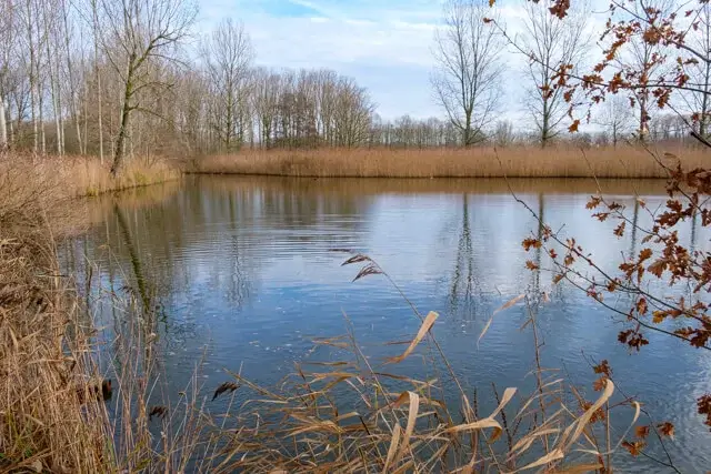
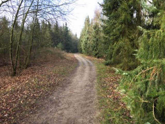
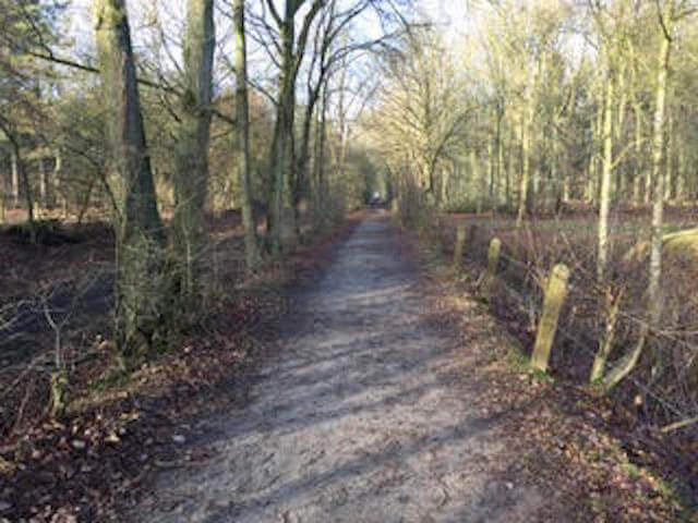
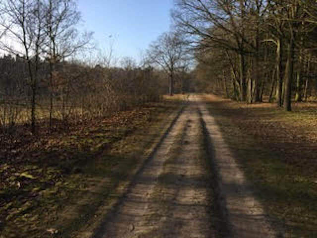
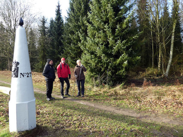
Just outside the village center of De Klinge you walk into the Clinge Forest just over the border, a beautiful piece of pure nature of approximately 180 ha. Then it goes to the experience site Klingspoor where you can learn everything about the old Terneuzen-Mechelen railway line. On the border you walk along five old border posts to De Grote and Kleine Weel, also called "De Kriekeputten". A pure nature walk with a hint of history!
Distance: 10 km.
Time: 2h30.
Grade: Easy.
Type: Circular.
Gps Track: Yes.
Route description: No.
Wheelchair: Not suitable.
Dog: Allowed on leach.
Height gain: Flat.
Trail: Paved and unpaved.
Marking: White-Green hexagon.
Hiking shoes recommended.
Border hopping.
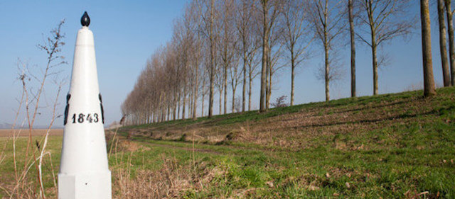
Just outside the village center of De Klinge you dive into the Clinge Forest just over the border, a beautiful piece of pure nature of approximately 180 ha. A century ago, trains rumbled between Mechelen and the Dutch Terneuzen. On the learning and experience site Klingspoor you will learn everything about the old railway line and smuggling routes of the past. On the site there is also a reconstruction of the so-called "death thread" from WWI. On the border between De Klinge (B) and Clinge (Nl) you walk past five numbered iron border posts. The Belgian coat of arms is adorned on one side and the Dutch lion on the other. The piles date from around 1839, when the separation treaty between the Netherlands and Belgium was signed. The Grote en Kleine Weel, sometimes called "De Kriekeputten", together form an idyllic picture and a unique place for fauna and flora. Border post 1843 stands on the beautiful Koningsdike.
Well marked.
POI 1 - Klingspoor.
On the learning and experience site Klingspoor you learn everything about the old railway line, about the clump industry and smuggling routes of the past. There is also a reconstruction of the "Dead Wire" from WWI.
Meer informatie:
www.klingspoor.be.
POI 2 - Konings dike.
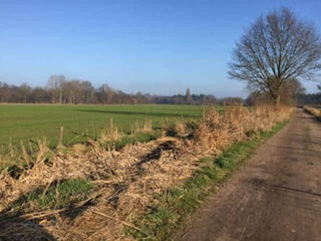
The Koningsdijk was built in 1673 on the border between the Southern Netherlands (later Belgium) and the Republic of the Netherlands. This border was determined by the positions of the warring parties at the end of the Eighty Years' War in 1648. At the end of the war, Hulst had been conquered by the Dutch while the Land of Waas remained in Spanish hands. At De Klinge, they chose to coincide with the former border between the Land of Waas and the Hulsterambacht. There was no natural border in this period and the administrative border simply ran straight through the polder. During the Dutch War (1672-1678) the Republic came into conflict with the powerful France. Hulst feared an invasion and had the dikes around the city pierced to strengthen the fortress. A consequence of this was that the countries along the Spanish side of the border also had flooding. This inspired the local polder to work on a dyke on the border that was to prevent the Dutch from flooding their countries. During the construction of the Bedmar line in 1701, the Koningsdijk was reinforced and included in the border line. The Koningsdijk formed the connection between the Bedmar and Verboom forts. The dike was preserved even after the War of the Spanish Succession due to the continuing threat of inundation. Today a recreational cycle path has been laid out on the dike, from which you have a wonderful view of the polders along both sides of the border.
No additional information.
Walks East Flanders.