Walking route
Liniewegel.


Liniewegel.
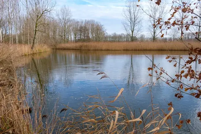
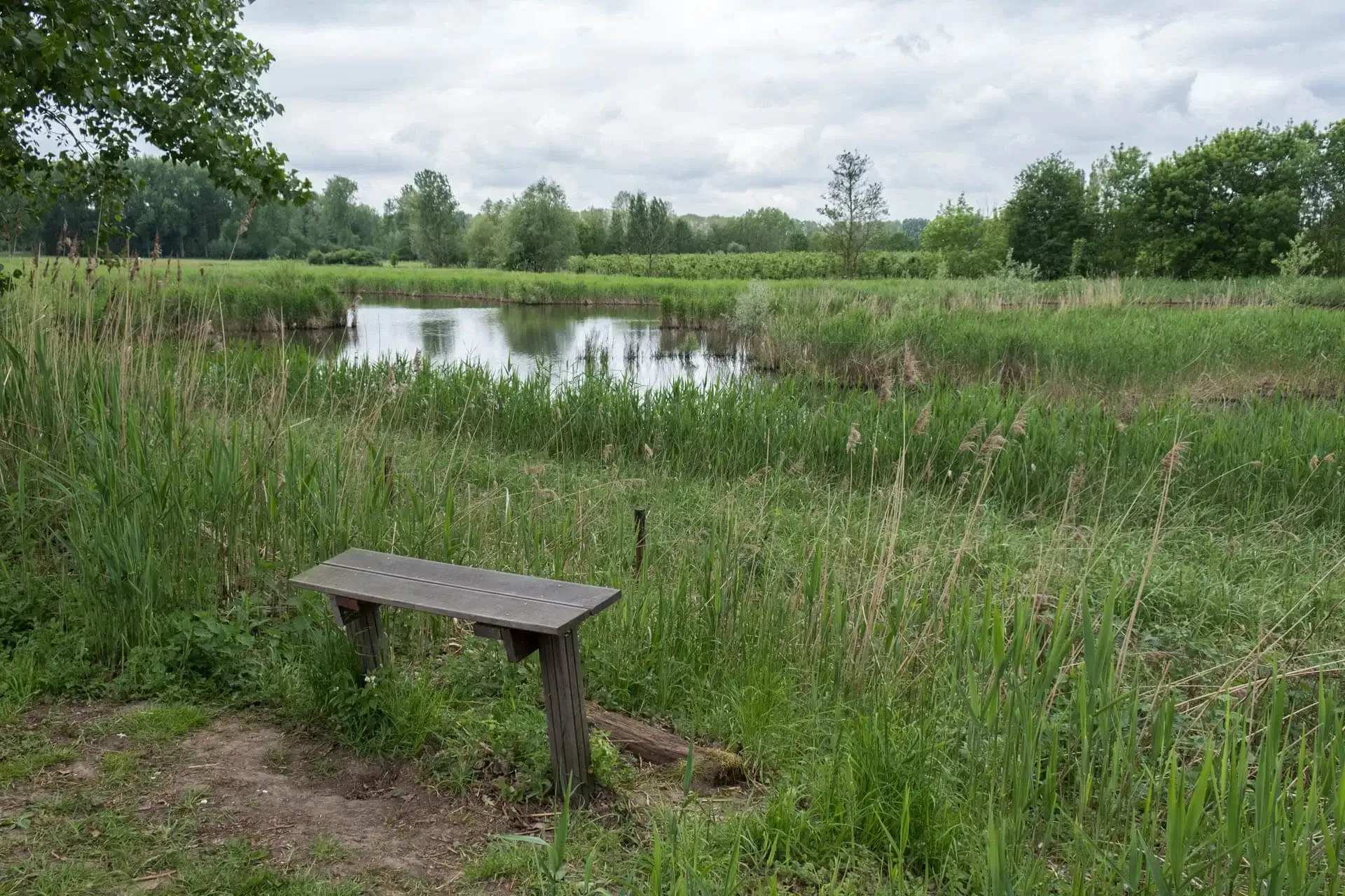
This walk goes through the nature reserve De Linie, a patchwork of forests, marshes, meadows lined with old pollard willows, fields, wood edges, reed beds, old peat pits and ponds. One of the few areas in the province of East Flanders where it can still be really quiet and dark.
Distance: 8 km.
Time: 2h00.
Grade: Easy.
Type: Circular.
Gps Track: Yes.
Route description: Yes.
Wheelchair: Not suitable.
Dog: Allowed on leach.
Height gain: Flat.
Trail: 80% unpaved.
Marking: Hexagon with letters.
Hiking shoes recommended.
The Linie.
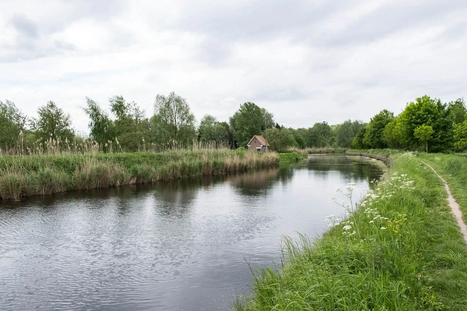
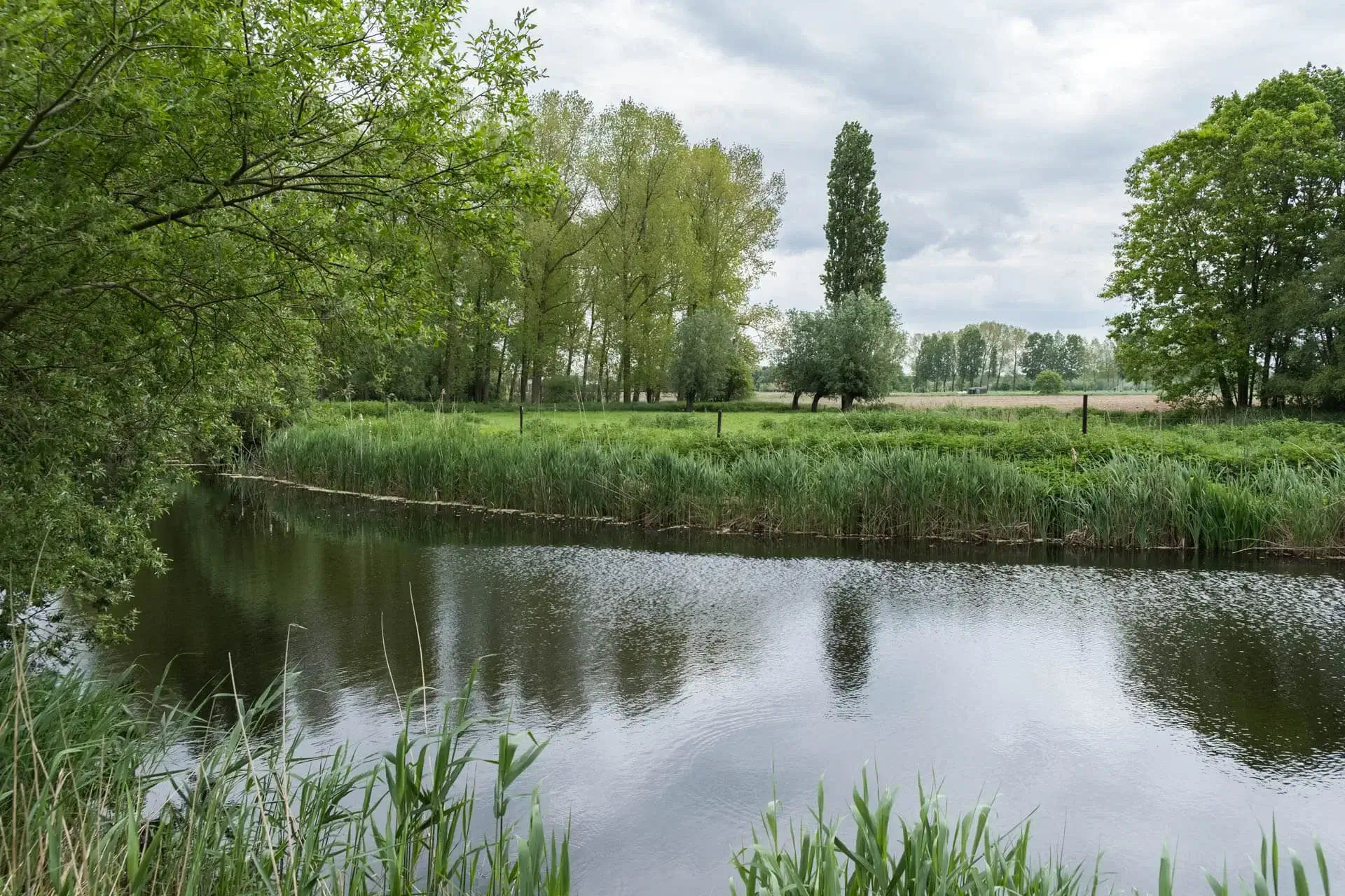
The walk leaves at the gothic Onze-Lieve-Vrouw-Hemelvaartskerk and quickly enters the nature reserve De Linie. The Linie was a military defense line, laid out by the French in 1701-1702 to defend Flanders against the Republic of Holland, which ran from Nieuwpoort to the Meuse. The narrow path leads to the beautiful site of the Kruiskapel(a chapel). Then it goes via unpaved roads towards the Moervaart. The Moervaart connects the Canal from Ghent to Terneuzen and the Durme. The canal has little economic significance today and is only used by pleasure craft. The path next to the winding Moervaart makes you dream away, here you also pass the Lokerse Moervaartmeersen. These meersen are a paradice for birds. At an old pump house you leave the banks of the Moervaart and go back to the starting point along an open landscape.
Paths can be very soggy!
POI 1 - Nature reserve De Linie.
This natural reserve is named after a military defense line, built by the French in 1701-1702 to defend Flanders against the Republic of Holland, which ran from Nieuwpoort to the Meuse and forms the southern boundary of the vision area. Little remnants of 'De Linie' are left over all of Flanders. For a long time, however, this defense belt did not stand firm because, after the United Provinces had invaded the Southern Netherlands, it was demolished in 1703 in Eksaarde. Still, a number of remains were preserved in the landscape. The area is a patchwork of forests, marshes, meadows lined with old pollard willows, fields, wood edges, reed beds, old peat pits and ponds. The exploitation of nut or peat in the Middle Ages has been very important. Dead plants that accumulated for thousands of years in swamp areas were excavated and dried as fuel. Names like Moervaart and Moerbeke originated during that reclamation period. Large peat extracts probably did not take place in Eksaarde, but in some places, in distant water channels, peat was excavated on a small scale. These peat pits still have shores with a rich plant growth, including water violin, large cattail, real cuckoo flower, valerian and wood piping.
Additional information:
www.vzwdurme.be.
POI 2 - Kruiskapel.
The Crucifixion in Eksaarde. In 1621 Pastor Busselius told the story of the discovery of the "two Miraculous Crusifixes" in his parish in a booklet. In 1317, a farmer, Baudouin with the Nine Pounds, was working when he hit a cross with his shovel. He pulls it out of the ground and blood flows out. He brings it to his farm and resumes his work. He finds another cross, a spear and two Roman scales. He also carries these to his yard and then the bells of Eksaarde's church begin to ring. The wonder is great and Boudewijn will inform the pastor. In procession the crosses are brought to church. A spectator who shakes his head in disbelief will no longer be able to do justice until he repents praying for the crosses. Many other miracles occurred here. The brickwork well for the chapel would be the place where Boudewijn found the miraculous crosses. Already in the fifteenth century there was talk of it. To the east of it, Mr van Eksaarde Lanchals and his wife Gruutere built the Kruiskapel in 1632. Above the entrance, the weathered coat of arms of these two noble families can be seen on a stone. A crossroad with fourteen chapels connects this "distant chapel" with the church.
No additional information.
POI 3 - Lokerse Moervaartmeersen.
Along the Moervaart and a northern part of the Durme is a fairly narrow, sometimes only 200 m wide strip meersen. In some places there are still moist grasslands that are in all respects comparable to the most beautiful pieces from for example 'De Daknamse Meersen' or 'De Buylaers'. In the southwest this area is bordered by a vague strip of drift sand. The northern part consists alternately of fields, meadows, poplar and coniferous forests. The part to the south of the Zuidlede, however, mainly consists of fields and pastures, which are bordered by a remarkable number of pollard willows.
Additional information:
www.vzwdurme.be.


Walks East Flanders.