During this hike in the Boekhoute area you will get an impression of the turbulent past of this region in addition to the beautiful nature. The permanent fight against flooding and the two world wars have had a major impact on this area.
Distance: 11 km.
Time: 3h00.
Grade: Easy.
Type: Circular.
Gps Track: Yes.
Route description: Yes.
Wheelchair: Not suitable.
Dog: Allowed.
Height gain: Flat.
Trail: Paved and unpaved.
Marking: Walking nodes.
Hiking shoes recommended.
Fishing village without a port.
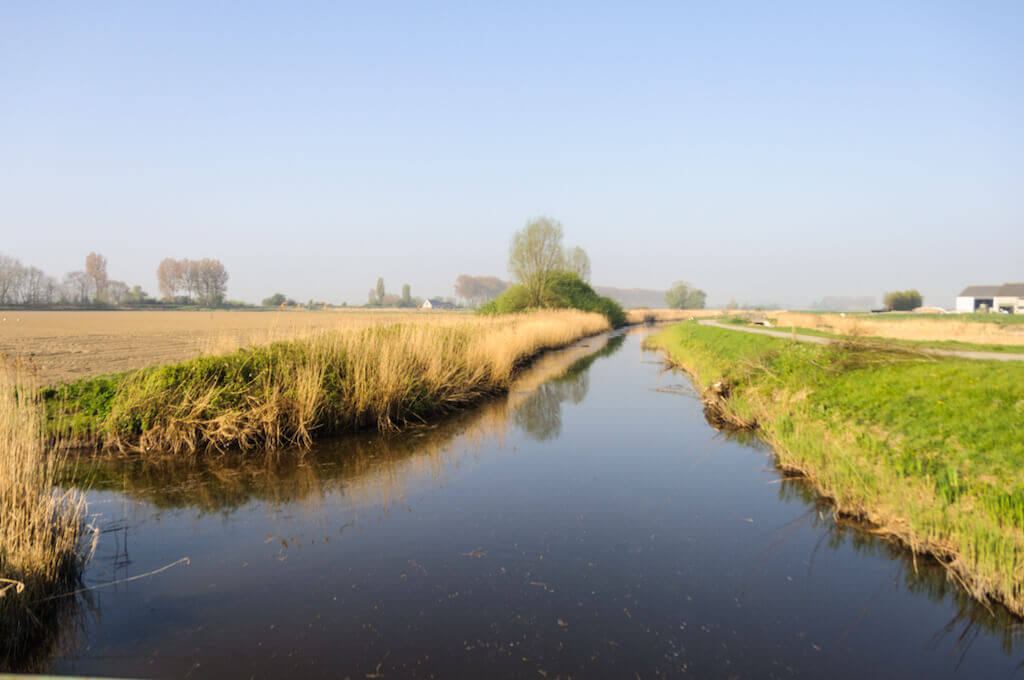
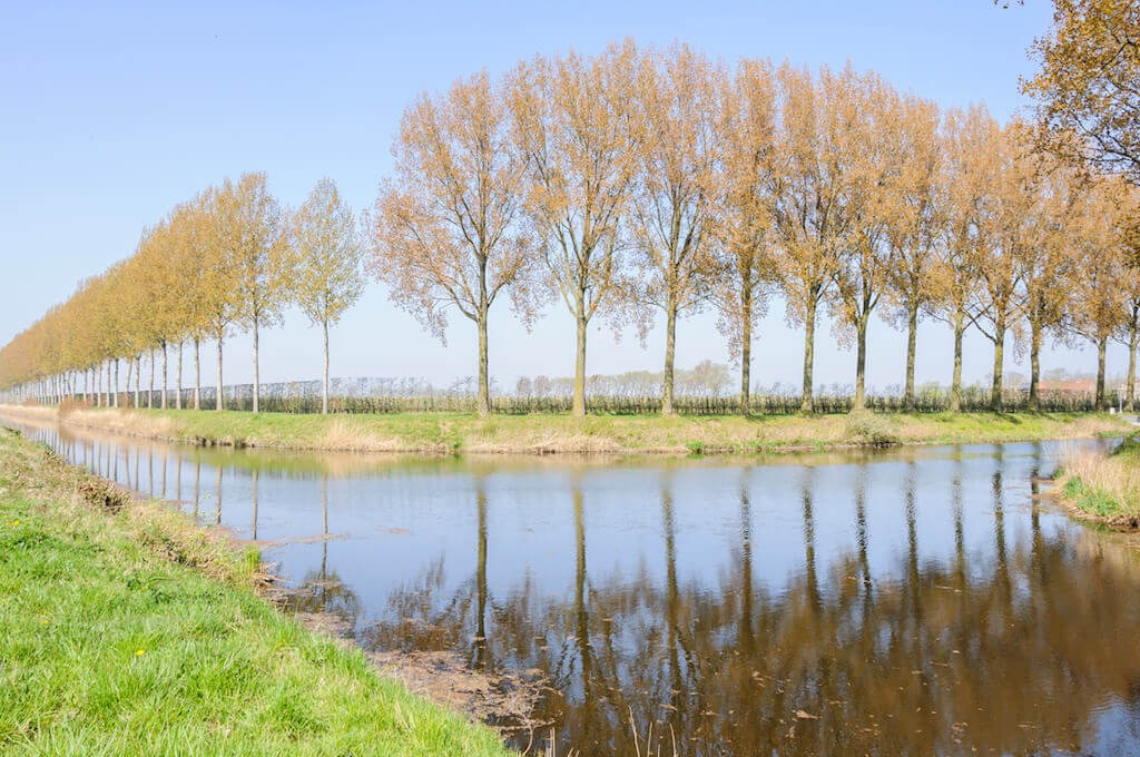
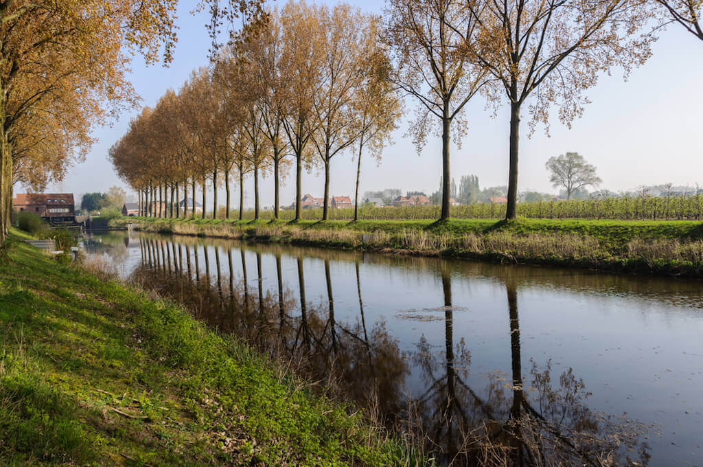
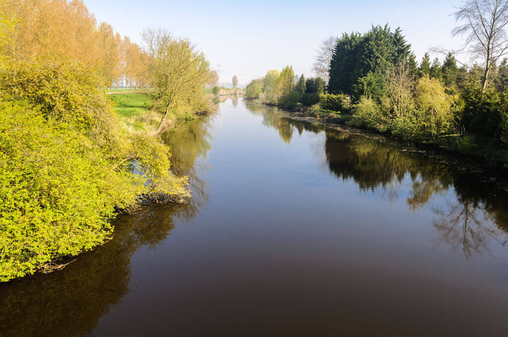
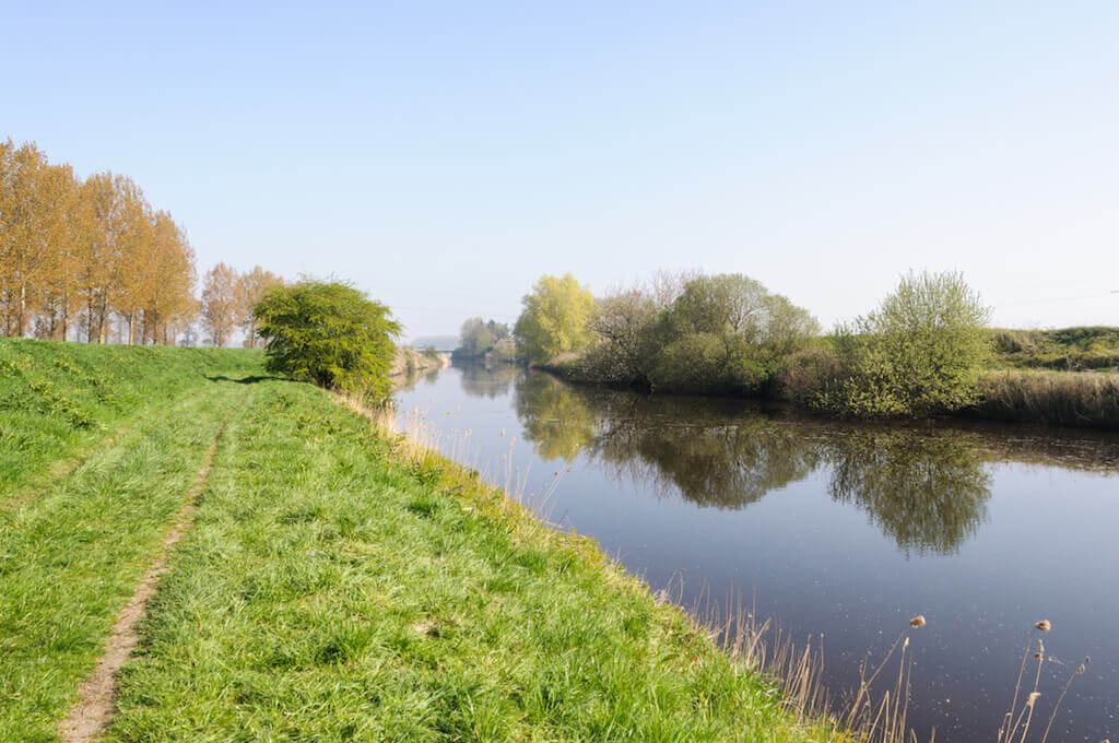
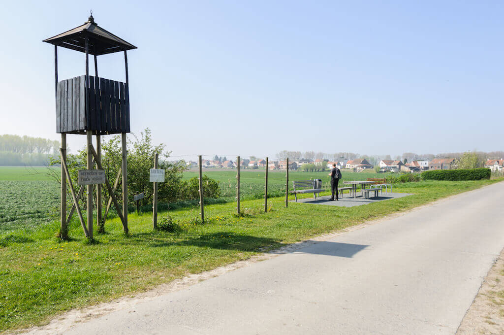
The walk goes via the Leopold Canal to the Isabella pomping station. There is a work of art by Wesley Meuris that represents the Death Wire. The death wire was placed by Germans on the border between Belgium and the Netherlands during the First World War. Here we cross the border and pass a monument in memory of the heavy battle that was waged in this region during the Second World War. Then it goes towards the Olmendijk where the remnants of a German bunker stand. Back at the border there is a nice picnic place where also the death wire is remembered. Besides the story from this eventful past, it is mainly enjoying the peace and the whistle of the many species of birds that live here. The route follows walking nodes of the Meetjesland and Oost Zeeuws-Vlaanderen walking network. The order of the nodes is described in the route description.
Download PDF for nodes to follow.
POI 1 - Boekhoute.
A side arm of the Westerschelde, called the Braakman, which came to Boekhoute until around 1600, made the port of Boekhoute arise. The construction of dikes, which had to prevent frequent flooding, meant that the Braakman no longer reached the village entrance. The port was then moved to a more northerly part of the village, to the district that today bears the name Haven. At the end of the 18th century, another move had to be made after the embankment of the Grote Isabellapolder. The port, however, continued to get bogged down. In addition to the silting up, the disintegration of the Netherlands in 1830 also contributed to the loss of the port. For the Belgian independence, the Boekhout fishermen were allowed to fish in all inland waters of Zeeland. Afterwards they could only fish in the Braakman and in the Westerschelde. Until 1914 this port remained in use, despite great difficulties. During the First World War the port was closed by the Germans. The village was in Belgium, while the port was already in the Netherlands. Belgium was at war and the Netherlands did not interfere in the fight. The Germans feared that the border village and the port would be used for the transfer of military information. After the First World War, despite the Belgian protest, the Dijckmeesterpolder was constructed in the Netherlands. As a result, a new port had to be constructed once again, located more than 2.5 kilometers from Boekhoute. Belgium demanded the construction of a canal next to the new polder, which had to provide for the drainage of the Belgian polders and connect the new port of Boekhoute with the Braakman. In addition to the sluice at the beginning of this Isabella Canal, the new port of Boekhoute was constructed. In the beginning of the 20th century, another 700 Boekhoutenaren lived on fish. At the end of the 1930s, Boekhoute counted fifty fishing boats. De Braakman, however, had the tendency to become heavily clouded during the last decades and during the Second World War no dredging work was performed in the Braakman. After the war, the fishing fleet of nearly fifty ships could no longer sail. In the summer of 1952 the Braakman, the connection between the fishing port and the sea, was closed. However, by law, Boekhoute was still an official fishing port and according to the treaty of the XXIV articles from 1839 had the right of access to the Westerschelde. A limited number of fishermen continued fishing from Terneuzen and transported the fish on a tract path via Hoek and Philippine to the village. After a difficult period in the 60s, in 2003 there were still a dozen fishing boats operating under the flag of Boekhout from Terneuzen. The boats are located in Terneuzen or Breskens and can be recognized by the inscription BOU (after the old spelling Bouchaute). In the village center, in the former town hall, there is also a visitor center in which you can learn more about the history of Boekhoute. (Source: Wikipedia).
Visitor centre Boekhoute.
www.assenede.be
POI 2 - Isabella Pumping station.
This auger pumping station assures the drainage of the eastern premises of the Leopold Canal and the surrounding polders to the Braakman on the Westerschelde in the Netherlands. The completely renovated pumping station is equipped with five fish-friendly jacks. After all, research by the Institute for Nature and Forest Research showed that 20 per cent of emigrating eels did not survive the crossing via the pumping station.
No extra information.
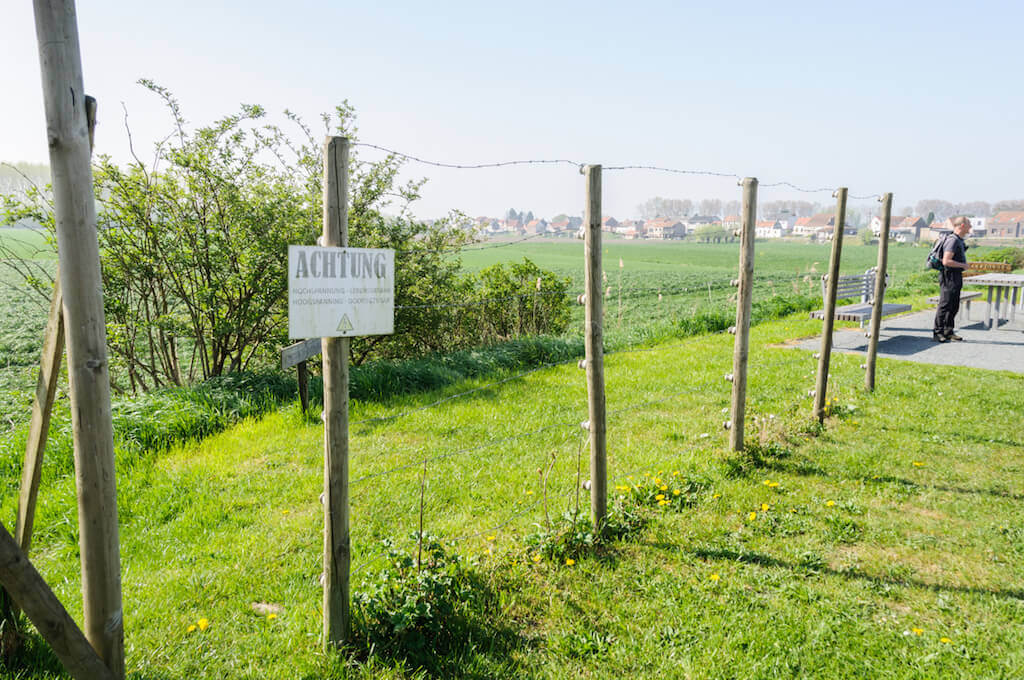
POI 3 - The Dead Wire.
On August 4, 1914, Germany invades Belgium in Gemmenich at the border triangle near Aachen. The entire country is occupied in two months. The neutral Netherlands remains out of range. In the late spring of 1915, the Germans pulled an electric wire barrier along the Belgian-Dutch border. The death wire becomes the border between war and peace. The Belgian-Dutch border is 449 kilometers long. The Dead wire itself is only 350 kilometers long because a number of in and out of the freakish border were cut off. The artwork of Wesley Meuris made an abstraction of this historical Death Wire.
No extra information.
POI 4 - War memorial.
Monument to commemorate the fierce battle for the Isabellasluis and the Kleine Isabellapolder by the Algouquin Regiment of the 4th Canadian Armored Division from 22 September to 14 October 1944.
No extra information.
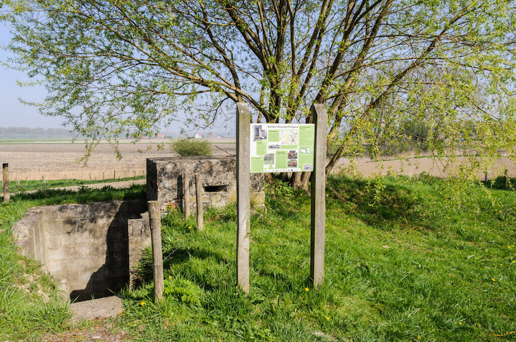
POI 5 - Bunker Olmendijk.
During the Second World War, the Germans found this place a strategic place. On the north side there was an open area with a large firing field. They installed a bunker complex. On the left is the observation post and on the right a tobroek with underground ammunition storage space. The bunkers are built up with a large size of baked stones and partly with large concrete stones.
No extra information.