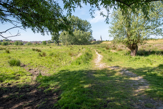
The Kalkense Meersen is one of the last quiet areas in East Flanders. This varied walk goes through a landscape of mud flats and salt marshes, wet grasslands and forest. The Scheldt, Oude Schelde and Kalkenvaart complete the picture.
Distance: 12.5 km.
Time: 3h30.
Grade: Moderate.
Type: Circular.
Gps Track: Yes.
Route description: Yes.
Wheelchair: Not suitable.
Dog: Allowed.
Height gain: Flat.
Trail: Paved and unpaved.
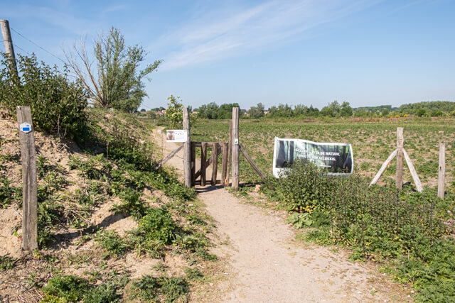
Marking: Walking nodes.
Hiking shoes recommended.
Wijmeers.
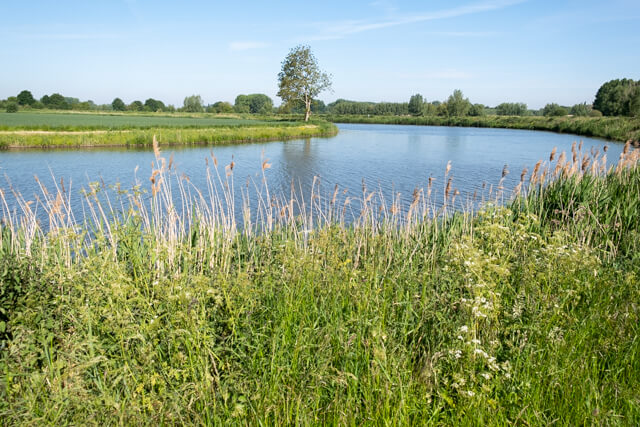
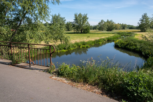
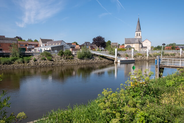
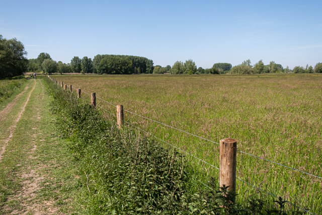
The walk starts at the church of Kalken and soon you go into the Kalkense Meersen. After a while you will come to the Oude Schelde. You will also go by the Bellebeek and walk through a beautiful piece of forest and peat area. At the Wijmeers you walk through a grazing zone with Galloway cattle. You come to the Scheldedijk just before the village of Schellebelle on the other bak of the river. You follow the towpath next to the Scheldt for a while and then turn off and follow the Kalkense Vaart. The last part goes a along the Oude Schelde before you return to the village of Kalken. The stretch back to the starting point is unfortunately along a busy road, but that does not outweigh the beautiful nature and tranquility during the walk.
Download PDf for nodes to follow.
Some paths can be soggy.
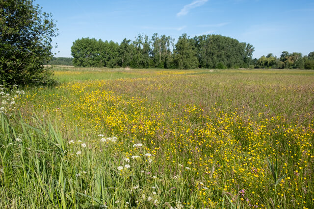
POI 1 - Kalkense Meersen.
As one of the largest remains of the Scheldemeersen, it forms a low-lying moist area in the former flood plain of the Scheldt. An old Scheldt arm also runs through the area, which was cut off when the Scheldt was straightened out. The areas were too wet to provide building land. Peat was mined here until the 19th century. This created pools that attract birds. It is a connection of the Kastermeersen, Broekmeers, Springels, Wijmeers, Molenmeers, Scherenmeersen and Belham on the Bellebeek. It consists of wet grasslands with canals and pools with reed collars and pollard willow rows around an old Scheldt armm.
No additional information.
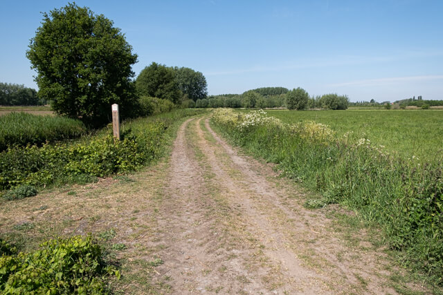
POI 3 - Wijmeers.
Wijmeers was transformed into a controlled flood area with a new impressive ring dike. Under the impulse of the Sigmplan, weekend houses, corn fields and small forest plots gave way to a large open landscape, an area with hedges and wood edges and a large piece of contiguous forest. Wijmeers is also rich in water features, ranging from pools to large ponds. These former recreational ponds were cleared and equipped with ecological banks.
Natuur en Bos.
www.natuurenbos.be.