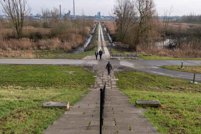
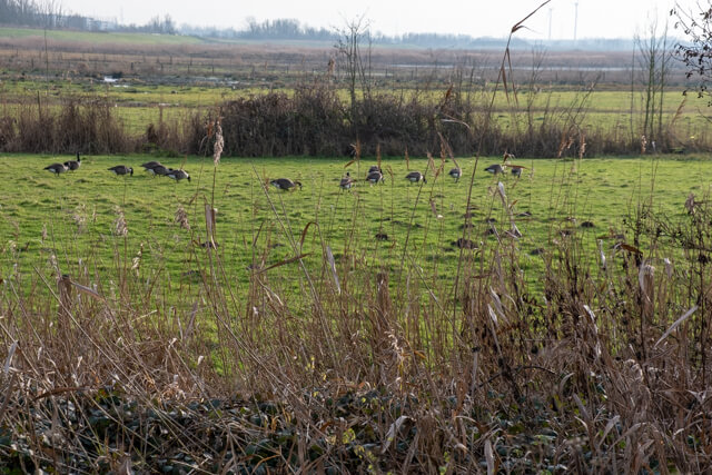
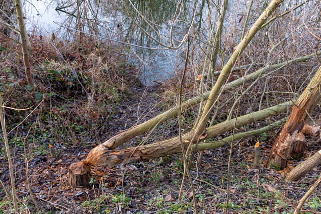
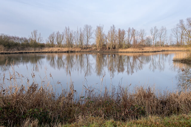
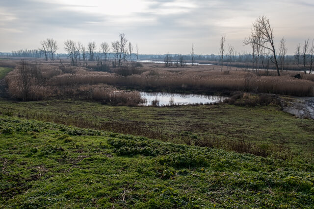
This walking route goes along the northern part of the Polders van Kruibeke. Here ebb and flow gets free rein, part of the area is flooded every day. You go through a landscape of mud flats and salt marshes, alder forest and meadows. On the connecting piece between the Scheldt and the ring dike you will certainly spot bite marks from beavers.
Distance: 8.5 km.
Time: 2h00.
Grade: Easy.
Type: Circular.
Gps Track: Yes.
Route description: Yes.
Wheelchair: Not suitable.
Dog: Allowed.
Height gain: Flat.
Trail: Mainly paved.
Marking: Hexagon with red inscription.
Advertisement.
Barbierbeek.
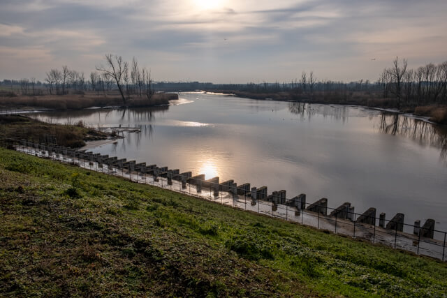
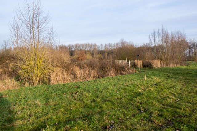
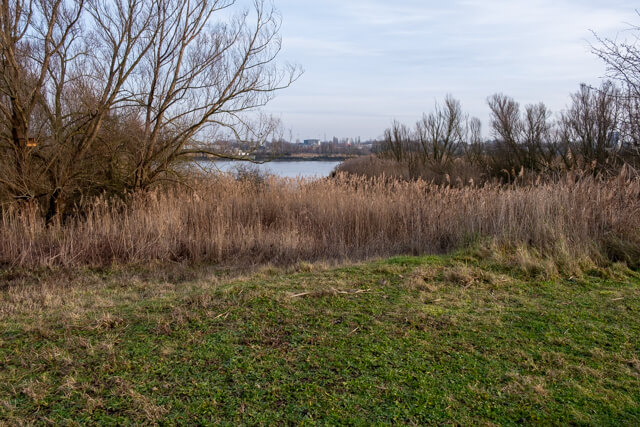
This walk takes you to the northern part of the Polders van Kruibeke, Flanders largest flood area. 60 hectares of polders have been transformed into a unique nature reserve with a varied landscape of mud flats and salt marshes, forests and meadows. The Barbierbeek, which runs right through the polders, gave its name to the route. From the church you walk to the ring dike, which protects the residential cores of Kruibeke, Bazel and Rupelmonde. The dike ensures that the incoming Scheldt water remains within the boundaries of the controlled flood area. The former sand storage for the construction of the ring dike was transformed in 2012 into the nature reserve Het Kortboek. Two fish ponds are central, and numerous water birds can be observed quietly via a bird watching wall. Nearby is the Altena castle, a 16th century moated castle that now has a social purpose. Along the Scheldt, the old dike was given a new function as a floodable dike. When a violent northwestern storm coincides with the spring tide, the top of the storm wave flows over the dike. So-called "drainage structures" in the dike ensure that, once the flood hazard has passed, the river water flows back to the Scheldt.
POI 1 - Barbierbeek.
The Barbier brook originates in Sint-Niklaas and flows into the Scheldt. It passes through the Kruibeekse creek and ensures the drainage of the higher areas. To prevent flooding, the Barier brook was laid in a new bed. This traverses the Kruibeekse polder, where the water flows through pipes through the ring dike towards the drainage sluice to the Scheldt.
Natuurpunt.
www.natuurpuntwaasland.be.