Walking route
Scheldewindeke.


Scheldewindeke.
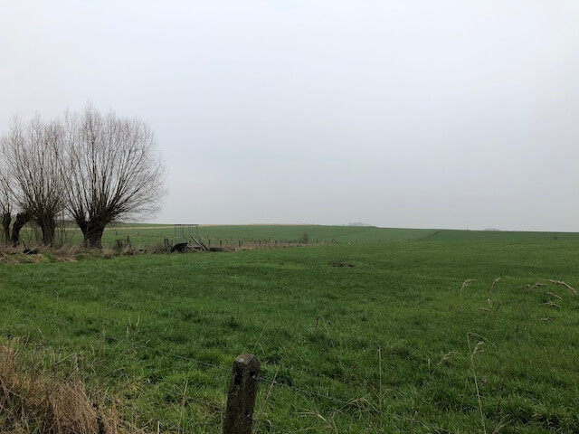
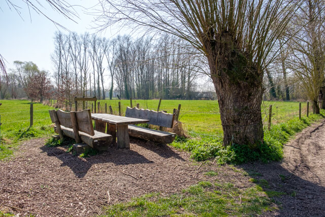
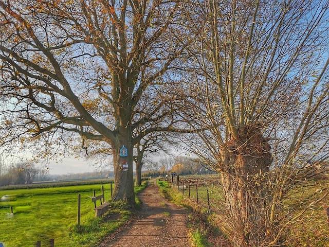
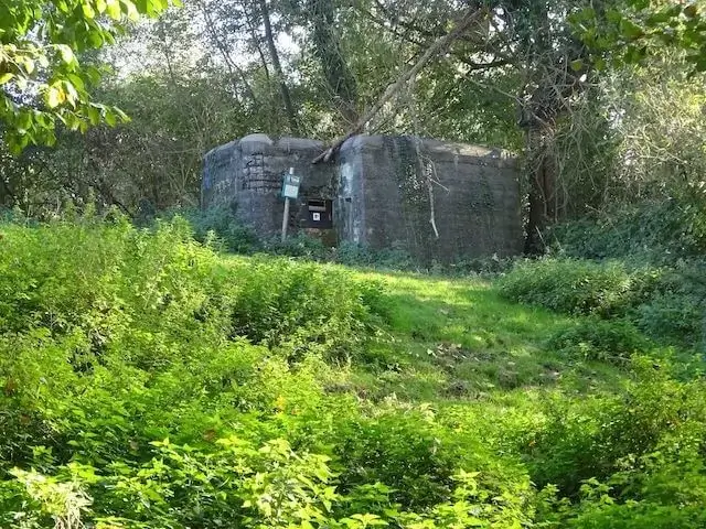
This walking route goes through forest and field roads in the vicinity of Scheldewindeke and along the Molenbeek which is part of the flood area of Moortsele. Various bunkers from the Second Worldwar can still be found in both Scheldewindeke and Oosterzele.
Distance: 19 km.
Time: 4h30.
Grade: Heavy.
Type: Circular.
Gps Track: Yes.
Route description: Yes.
Wheelchair: Not suitable.
Dog: Allowed on leach.
Height gain: 65 meters.
Trail: Paved and unpaved.
Marking: See PDF route description.
Hiking shoes recommended.
The gate of the Flemish Ardennes.
The walk is a mix of forest and field roads interspersed with paved areas.
Download PDF for a complete route description and map.
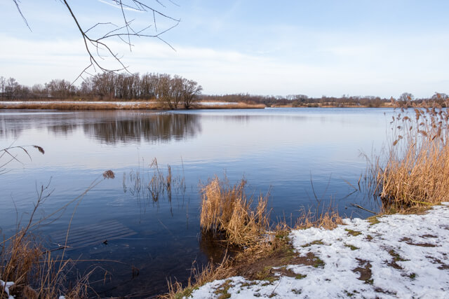
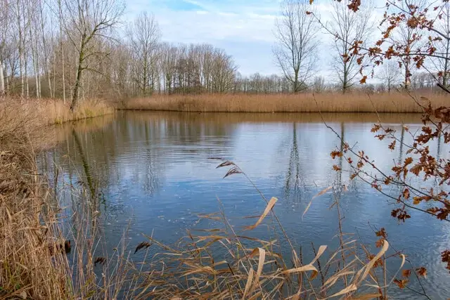
POI 1 - Flood area Moortsele.
This ecologically valuable valley area enjoys European protection as a habitat directive area. This is through unique forests with colorful spring flowers. The two streams that flow together, the Molenbeek and the Kerkesbeek, often leave their banks. They then leave sludge on which the trees develop. This makes this area so unique and valuable. The area owned by the province amounts to 33 hectares, half forest and half grassland.
No additional information.


Walks East Flanders.