This walk starts in Louftémont, which means wolf mountain. You will not encounter wolves, but you will enjoy the nice views of the rolling landscape with old mowing meadows. In the forest of Anlier you walk through the beautiful valley of the Arlune with some peat areas where the inhabitants of the surrounding villages cut peat. The combination of forest and open meadows also makes this an ideal habitat for birds of prey such as the buzzard, sparrow hawk, kestrel and Montagu's harrier.
This walk goes through the forest of Conques to the viewpoint of Libaipire. Here you have a beautiful view of Le Tombeau Du Chevalier, a meander of the Semois. From the forest you descend to the banks of the Semois. You follow the bank of the Semois to the starting point, you might spot kingfishers along the way.
Read moreThe forest of Conques
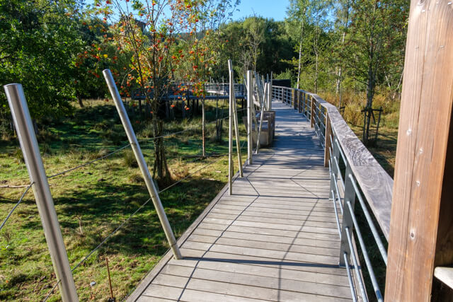
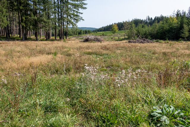
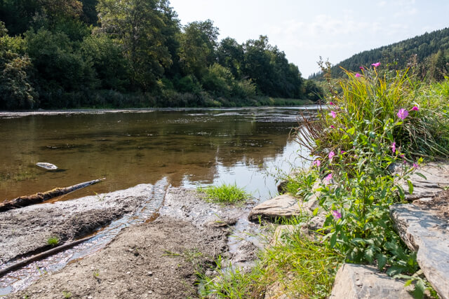
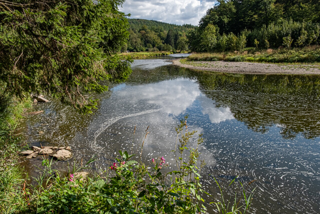
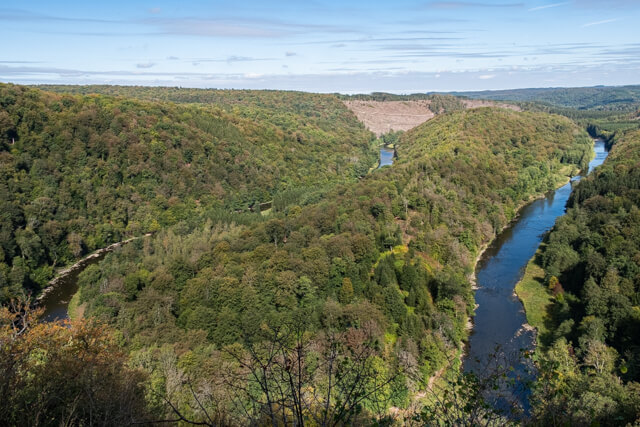
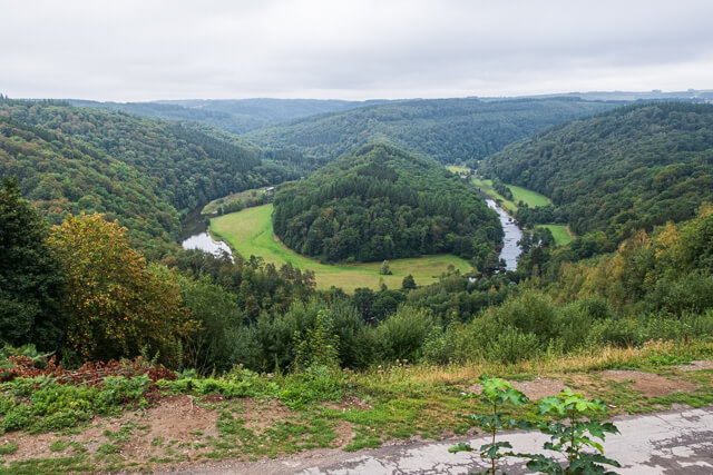
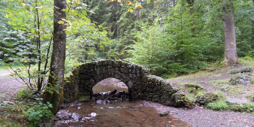
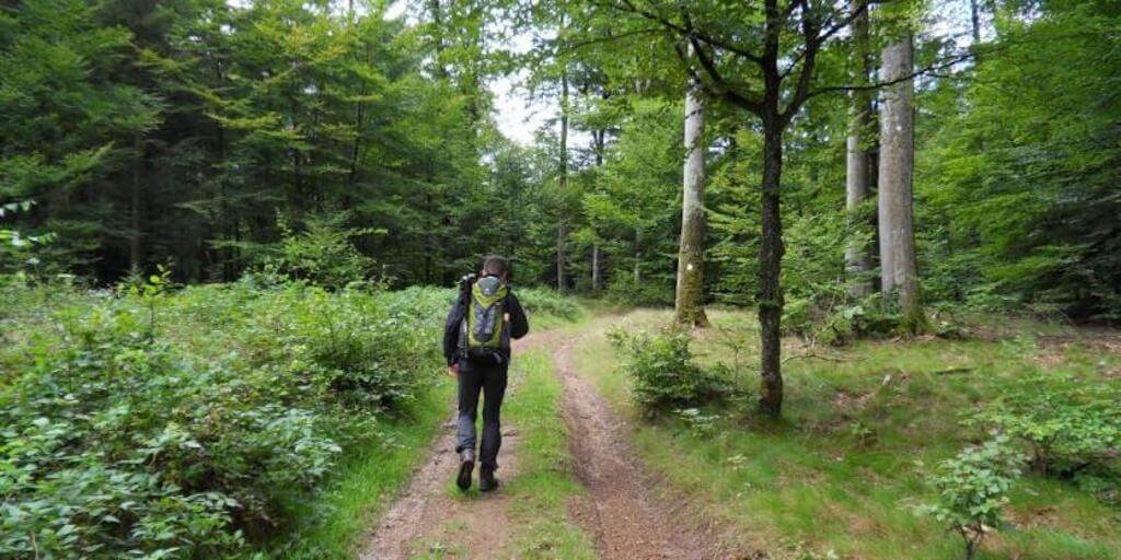
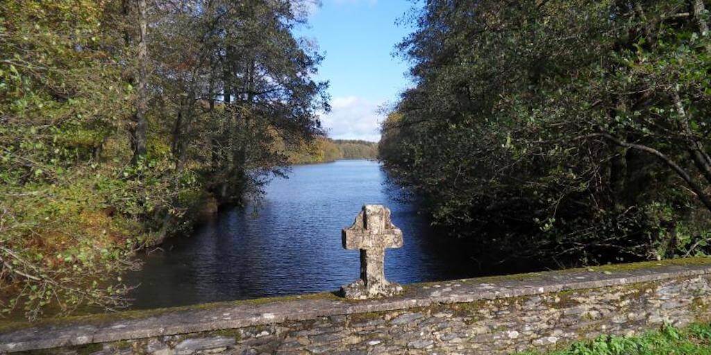
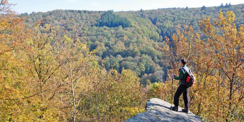
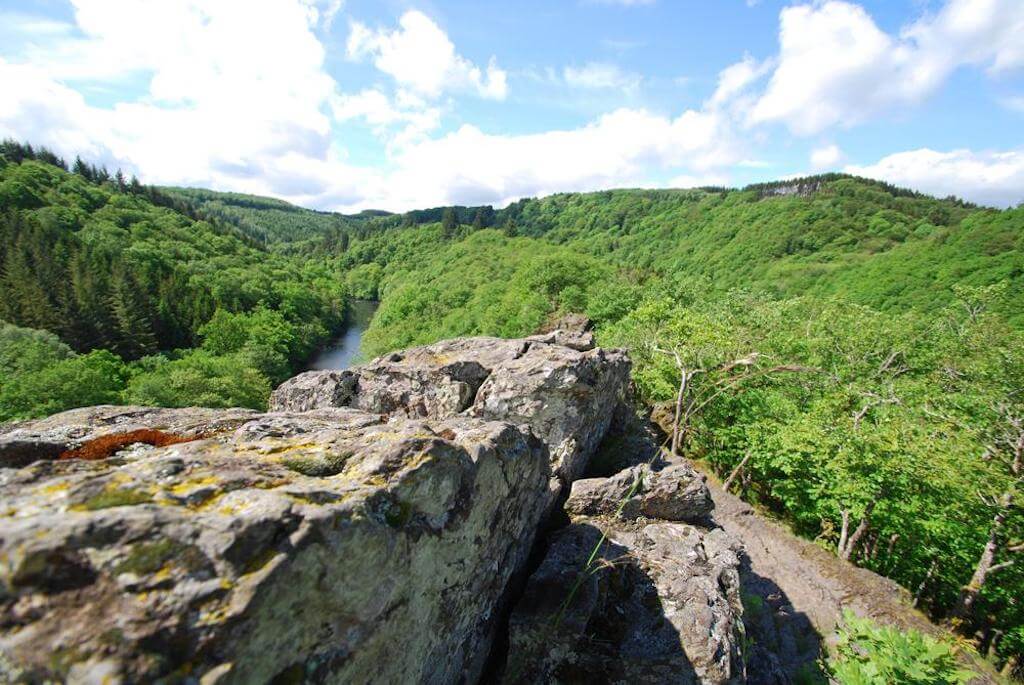
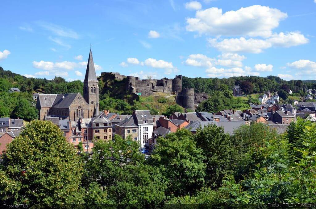
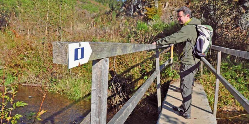
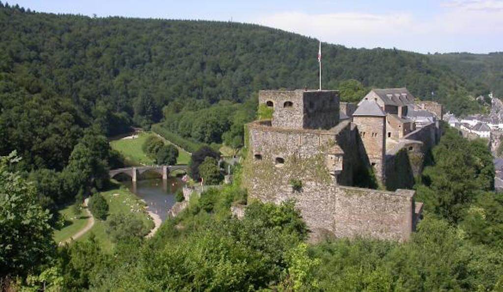
This walk goes over the nice Passerelle Des Oiseaux to a watchtower from which you have a beautiful view of Martelange. The route continues through the village of Martelange before starting a steep climb. You enter the forest of Anlier, this is the largest forest landscape in Belgium whit oaks and beech trees. In the forest you follow an old Roman road that ran from Trier to Tongeren.
This beautiful walk goes over the Crêtes de Frahan to the small hamlet of Frahan. Here you cross the Semois and the climb to Rochehaut begins. From this village you walk on a beautiful forest road back to Poupehan.
This walk goes through the forest of Rulles which, together with the forest of Anlier and Chenel, forms the largest beech forest in Belgium. The black stork breeds in the forest, but deer, roe deer and wild boar also have their habitat here. The name of the walk refers to the old song of the four sons of Aymon, who traveled from place to place to sing short stories.
Read moreLes Quatre Fils Aymon
This beautiful walk goes from the famous viewpoint Le Tombeau du Géant along the banks of the Semois to Bouillon. Along the way, it is climbing and descending with alternating beautiful views and old mixed forests. The view of Bouillon from the lookout tower on the Belvédère d'Auclin is really beautiful.
The walk introduces you to La Clairière, which means open space, between the villages of Anlier, Louftémont, Behême and Vlessart. You go through the valley of the Ruisseau in an open landscape with beautiful views and through the forest of Anlier.
Read moreChemin de la Clairière
This beautiful walk starts at Resteigne castle and goes along the banks of the Lesse to the picturesque village of Belvaux. From the village it continues in the direction of the Les Pairées nature reserve, a typical Calestienne landscape with calcareous grasslands and numerous juniper bushes.
This walk goes from Neufchâteau through the forest of Ospau to the hamlet of Montplainchamps. Furthermore, you walk past the Center Ardenne observatory to the beautiful valley of the Ruisseau De Neufchâteau. In the hamlet of Warmifontaine you pass the cave of Notre-Dame De Lourdes. Through a more open landscape, with beautiful views, you walk to Lake Neufchâteau.
A short but exceptional walk in the Ardenne et Gaume nature reserve with its magnificent geological rock formation Roche à l'Appel. Hikers must have a good condition to cope with the winding, sometimes quite steep paths. The circuit on and around the Roche à l'Appel is very special. Geologists from all over the world come here to amaze themselves at this rock mass which consists mainly of pudding stone.
Walk through mixed forests to the hamlet of Géripont and through a more open landscape with beautiful views.
The walk from Maissin to the famous book village of Redu with its many booksellers combines nature and (reading) culture. In 1984 two local journalists from this empty rural village with 450 inhabitants made a huge book market. Following the example of Hay-on-Wye in Wales, which has been a unique second-hand book center since 1961, there are now 20 bookstores in old stalls and farms in Redu. And of course the gastronomy has its place in Redu.
From Dohan, the walk rises high above the valley and you immediately get some beautiful views. Then you walk through mixed forests to the Semois. You follow the course of the Semois to the viewpoint on the Roche De La Chevauchée.
This walk leads you along beautiful roads and paths through the southern foothills of the gigantic forest of Anlier. From the 16th century, the forges of the region produced products that were sold throughout Europe. The walk starts at the Place Pierre Nothomb and leads past the étang du Châtelet to the beautiful forest of Anlier. After a few kilometers you will arrive at the Château du Pont d'Oye from the 17th century. The road then leads to the ruins of the old Forge du Prince. A sign explains the manufacture and the main advantages of Walloon iron products from the 16th to the 18th century. From a height you can view the ruins of the whole complex.
The walk goes along the banks of the Semois to the viewpoint Saut Des Sorcières. Then you walk through beautiful mixed forests in the valley of the Ruisseau Des Aleines to the Roche Colas Tcha Tcha. From the hamlet of La Cornette you walk back to the starting point through forests.
The very varied route takes you first to the 'Chaire à prêcher', a steep rock formation above the Semois and the ruins of the Montragut castle. The remains are limited, but the view is fantastic. A passage leads to other beautiful viewpoints before you arrive in Frahan, which is located at the end of a river meander. On the other bank you will discover the charming old tobacco village of Poupehan. You cross the Semois again for a final climb that brings you back to Corbion, formerly known for its tobacco cultivation and processing.
This walk takes you high above the Semois along a beautiful forest path to follow the course of the Ruisseau De Muno afterwards. Wide forest roads lead you to Remacle's cave. The viewpoint above the cave gives you a beautiful panorama of the Semois and the surrounding area.
On the Hérou rocks where you get a beautiful view of the river, the trail follows the course of the Ourthe. The route runs largely along a small stone path that takes you along beaver dams and the Celtic fortification 'Le Cheslé'. From the high wall you have a beautiful view of the landscape of the Ourthe. From there various steep roads and paths depart that take you back to the starting point 'Belvédère'. There you can one last time admire the unspoilt charm of the six meanders of the Ourthe and have a bite to eat.
YOUR NATURE!