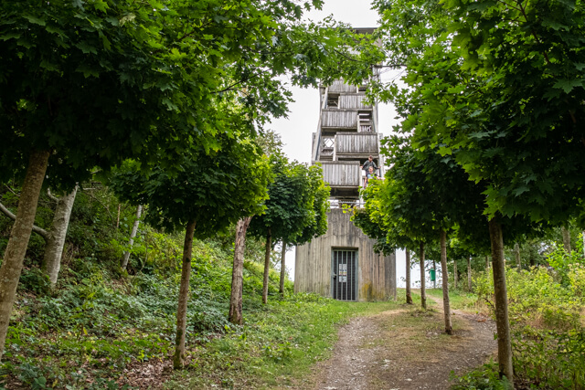
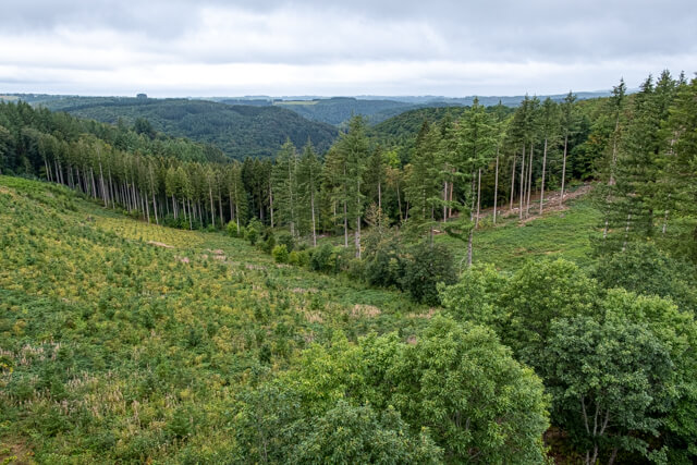
This beautiful walk goes from the famous viewpoint Le Tombeau du Géant along the banks of the Semois to Bouillon. Along the way, it is climbing and descending with alternating beautiful views and old mixed forests. The view of Bouillon from the lookout tower on the Belvédère d'Auclin is really stunning.
Distance: 14 km.
Time: 4h30.
Grade: Heavy.
Type: Circular.
Gps Track: Yes.
Route description: Yes.
Wheelchair: Not suitable.
Dog: Allowed.
Height gain: 515 meters.
Trail: 90% unpaved.
Marking: See PDF route description.
Hiking shoes recommended.
Advertisement.
Belvédère d’Auclin.
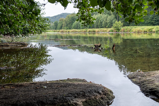
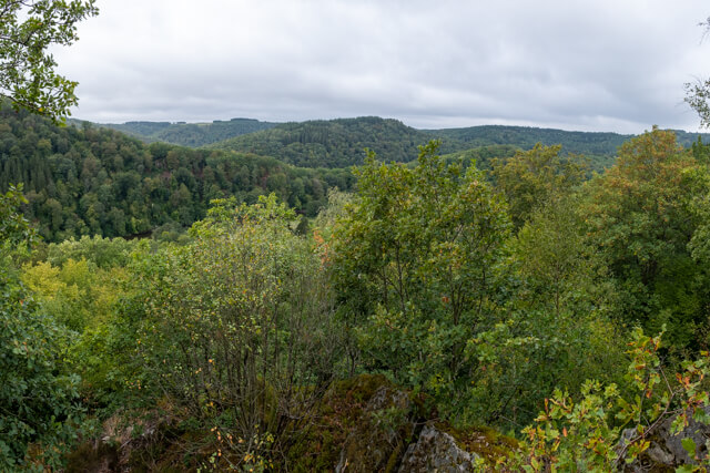
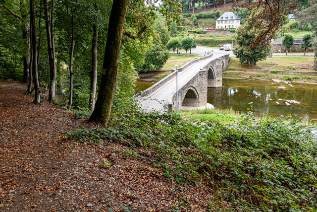
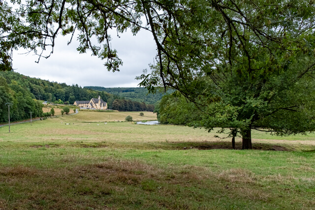
From the viewpoint at Le Tombeau du Géant you descend steeply to the Moulin du Rivage. At the former watermill, follow the banks of the Semois to the Moulin de l'Epine. Here you start on a steep climb to two viewpoints. Continue along narrow forest roads in the direction of the lookout tower at the Belvédère d’Auclin. From the tower you have a unique view of the thousand-year-old city of Bouillon. You now descend to the Pont de Poulies, follow the forest path on the right that runs parallel to the paved road, you walk through a beautiful mixed forest. You descend again and come to the paved road that takes you to the abbey of Cordemois. From the abbey, continue until you come back to Moulin de l'Epine. Here you follow the path of the way up to the Moulin du Rivage. From here you walk through the beautiful valley of the Grand Ruisseau to start the last climb to the starting point.
Download PDf for route description.
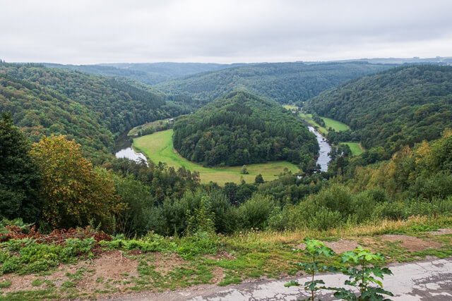
POI 1 - Tombeau du Géant.
The name "Tomb of the Giant", comes from the legend of a Gallic hero, of impressive size, who refused to be captured by the Romans and preferred to jump off the rock "Rocher des Gattes" instead of dying in the colosseum arena. The day after, the people of Botassart found his body and buried him on top of the hill surrounded by the river.
No additional information.