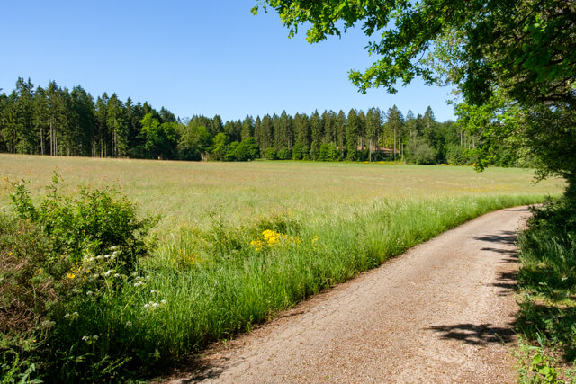
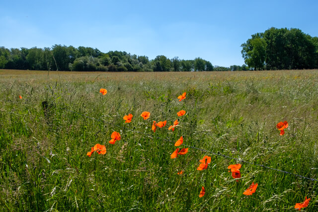
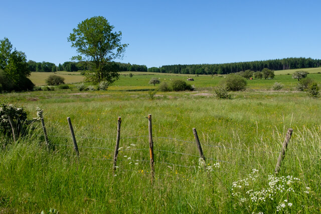
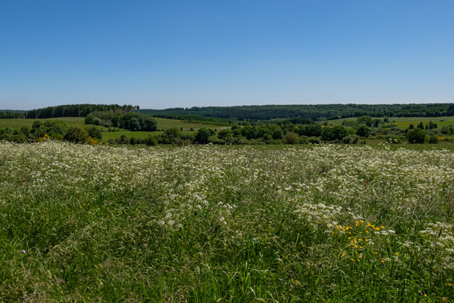
The walk introduces you to La Clairière, which means open space, between the villages of Anlier, Louftémont, Behême and Vlessart. You go through the valley of the Ruisseau in an open landscape with beautiful views and through the forest of Anlier.
Distance: 13 km.
Time: 3h30.
Grade: Moderate.
Type: Circular.
Gps Track: Yes.
Route description: Yes.
Wheelchair: Not suitable.
Dog: Allowed.
Height gain: 221 meters.
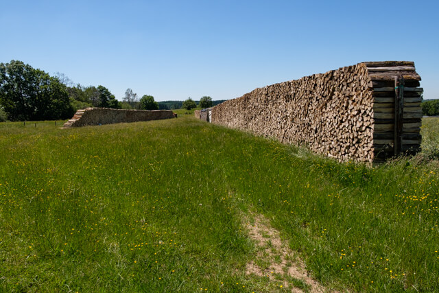
Trail: Paved and unpaved.
Marking: Red rectangle.
Hiking shoes recommended.
Advertisement.
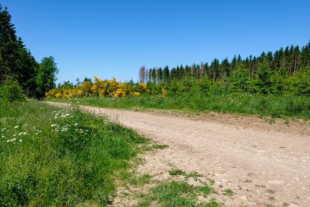
Anlier forest.
You walk through the village past an old watermill from the 19th century, now privately owned, to the edge of the forest of Rulles. Then you walk through a beautiful open landscape in the direction of the hamlet of Behème, the village without a church. You will pass the chapel of Notre-Dame de Luxembourg from the 18th century that is dedicated to Saint-Urbain. From the hamlet you walk further in the direction of the forest of Anlier. Once out of the woods you walk in the direction of Louftémont. On the ridge you get a beautiful panorama of the village and the surroundings. You walk back to Anlier over unpaved roads, sometimes lined with hedges.
Download PDf for route description.
Well marked.