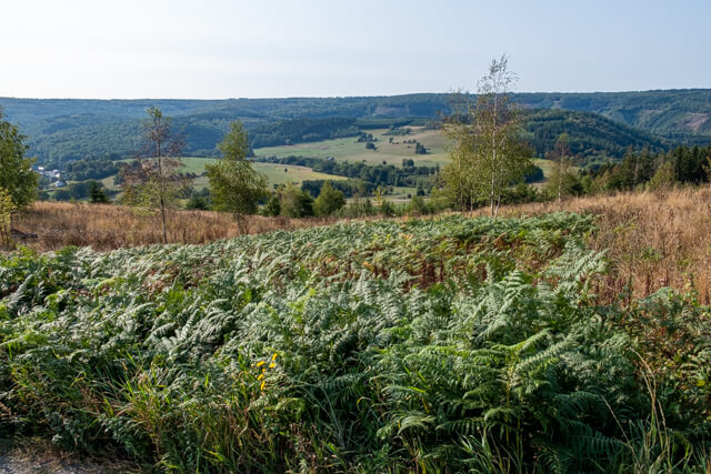
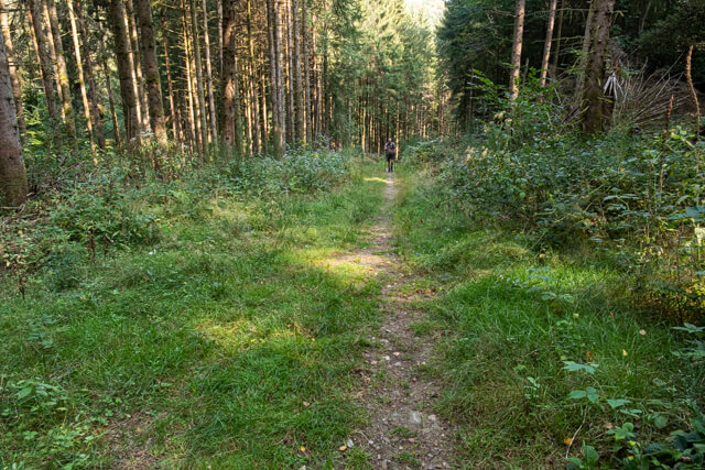
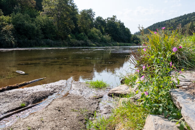
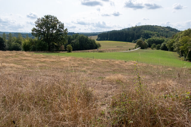
From Dohan, the walk rises high above the valley and you immediately get some beautiful views. Then you walk through mixed forests to the Semois. You follow the course of the Semois to the viewpoint on the Roche De La Chevauchée.
Distance: 14 km.
Time: 4h00.
Grade: Moderate.
Type: Circular.
Gps Track: Yes.
Route description: No.
Wheelchair: Not suitable.
Dog: Allowed.
Height gain: 435 meters.
Trail: Paved and unpaved.
Marking: None.
Hiking shoes recommended.
Advertisement.
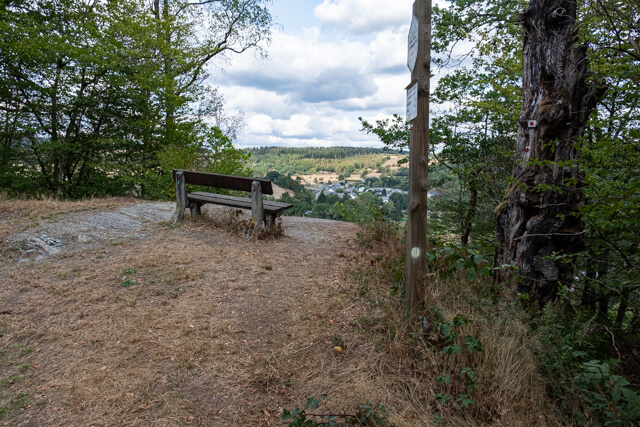
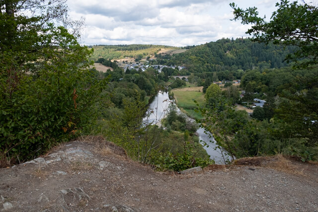
Roche De La Chevauchée.
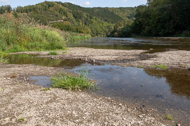
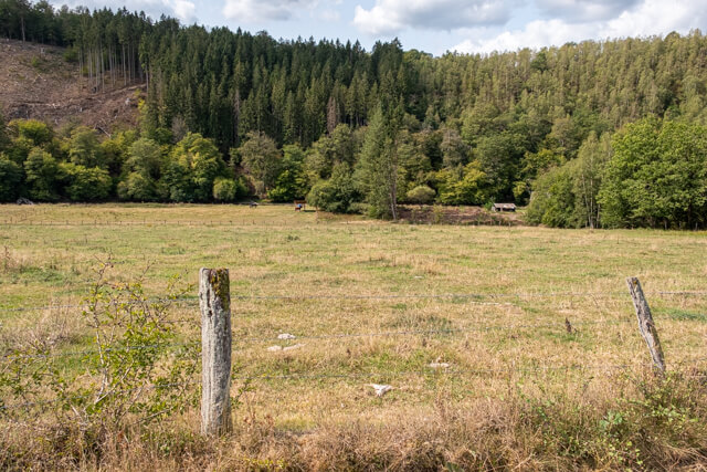
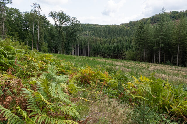
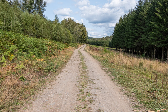
From the church you walk a short distance through the hamlet and once you cross the N816 you climb through the forest. When you leave the forest you follow the edge of the forest with some beautiful views of the valley of the Semois and the surrounding area. You descend back to the N816 and on the other side you walk through beautiful mixed forests. On the N865 you will pass the Ruisseau Du Moulin Hideux. You enter the forest again and arrive at the chapel of Notre-Dame de Walcourt. From here you descend to the banks of the Semois. There is a nice picnic bench on the Semois, an ideal place for a snack. Now you keep following the banks of the Semois, which unfortunately you don't get to see much of. Part of it runs on a paved road that is closed to all traffic, then it turns into a wide dirt road. Just before you return to Dohan you come to a beautiful viewpoint on the Roche De La Chevauchée.