This forest hike starts in the village of Bruchhausen, which is located in the Medebach valley and goes through beautiful and easily accessible forest roads to the highest mountain in North Rhine-Westphalia, the Langenberg.
Distance: 15 km.
Time: 4h30.
Grade: Moderate.
Type: Circular.
Gps Track: Yes.
Route description: No.
Wheelchair: Not suitable.
Dog: Allowed.
Height gain: 462 meters.
Trail: 96% unpaved.
Marking: B3.
Hiking shoes recommended.
Advertisement.
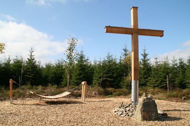
Oschenkreuz.
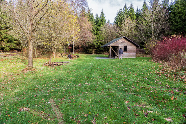
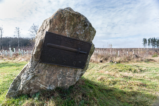
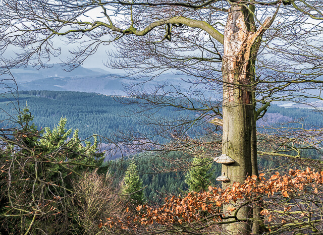
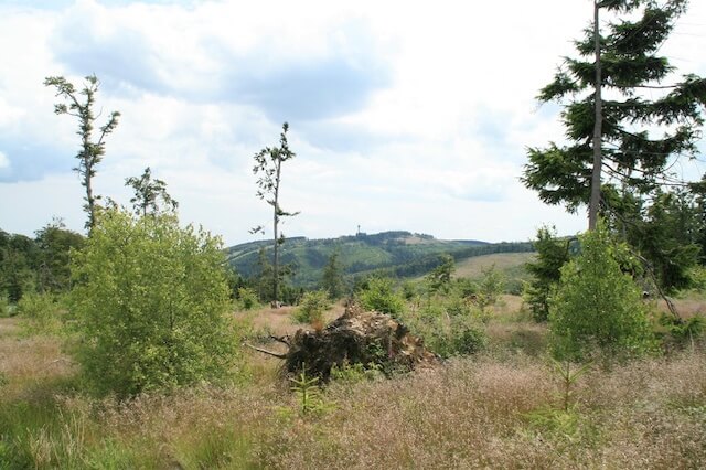
From the village you walk through a beautiful open landscape in the direction of Heu. On the way you have a nice view of the Bruchhauser Steine, four rocks from the Ice Age. You also walk to the Oschenkreuz (Ox Cross). The legend tells that in this place a deer was killed by an ox. The cross on the beautiful resting place reminds of this story. Then you walk through the forest past the mountain station of the Sternrodt ski lift to Burbecker Platz. From here the route runs together with the Rothaarsteig to the Langenberg. The mountain is with its 843 meters the highest mountain in the Hochsauerland but you would walk past it, that is why they have placed a beautiful metal cross at the top. The resting place is also the border between North Rhine-Westphalia and Saxony. From the Langenberg you walk further along the gallows field, where people used to be hanged, back to the village.
Well marked.