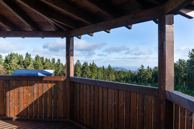
The walk takes you along a panoramic path to the Ziegenhelle where you have a beautiful view of the surroundings from the lookout tower. Then you walk through the forest to the Berknecke valley.
Distance: 16 km.
Time: 4h30.
Grade: Moderate.
Type: Circular.
Gps Track: Yes.
Route description: No.
Wheelchair: Not suitable.
Dog: Allowed.
Height gain: 413 meters.
Trail: 95% unpaved.
Marking: None.
Hiking shoes recommended.
Advertisement.
Berknecke valley.
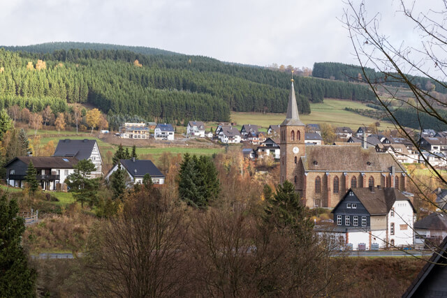
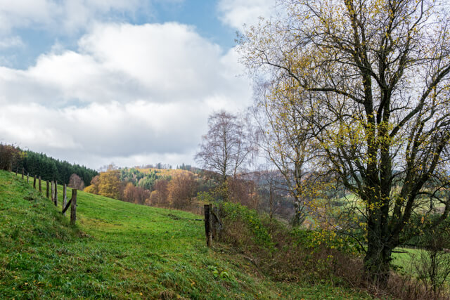
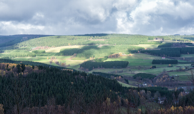
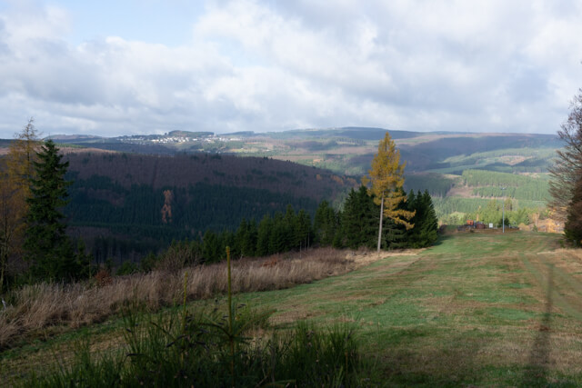
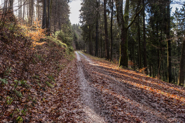
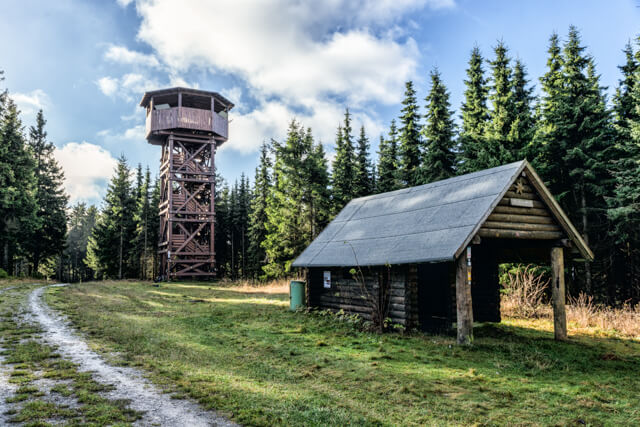
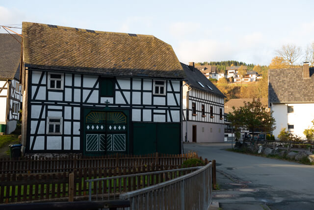
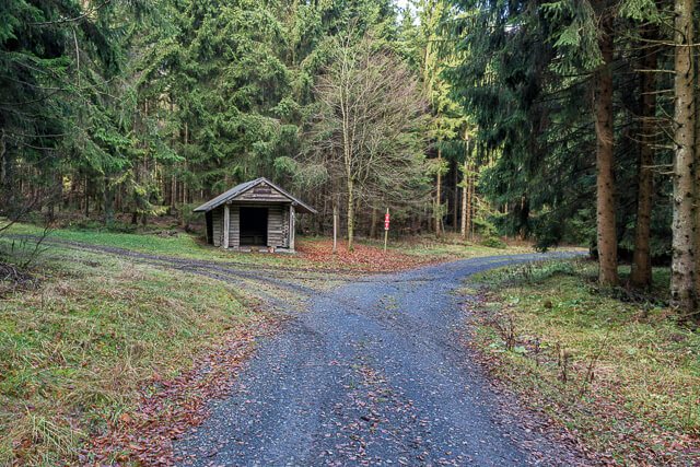
This GPS walk goes from the small village of Züschen first in the direction of the Hackelberg chapel. Then it goes via a panoramic road, at the foot of the Hackelberg, Büchenkopf and Radenstein, towards Ziegenhelle a mountain at an altitude of 815 meters. At the Ziegenhelle you don't feel like you are on top of a mountain because the view is obstructed by trees all around. No problem climb the 13-meter-high view tower and you have a beautiful panorama of the entire area. You continue through beautiful forests towards the Berknecke valley. You follow this river for a while via a beautiful grass path until you reach the open landscape in the valley. In the distance you see Züschen appear and you return to the starting point via a low traffic concrete street.