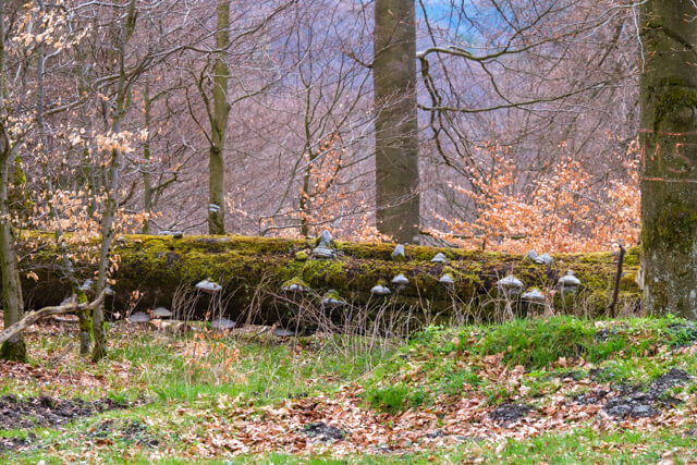
The hike goes over the ridge of the Twerenberg and Rothekopf along the border of North Rhine-Westphalia and Hesse. Coniferous forests and ancient beech forests are interspersed with beautiful views.
Distance: 11 km.
Time: 3h30.
Grade: Moderate.
Type: Circular.
Gps Track: Yes.
Route description: No.
Wheelchair: Not suitable.
Dog: Allowed.
Height gain: 396 meters.
Trail: 90% unpaved.
Marking: BK4 - BK3 - BK5.
Hiking shoes recommended.
Advertisement.
On the border of North Rhine-Westphalia and Hesse.
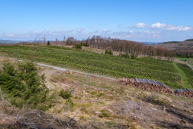
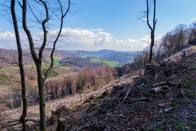
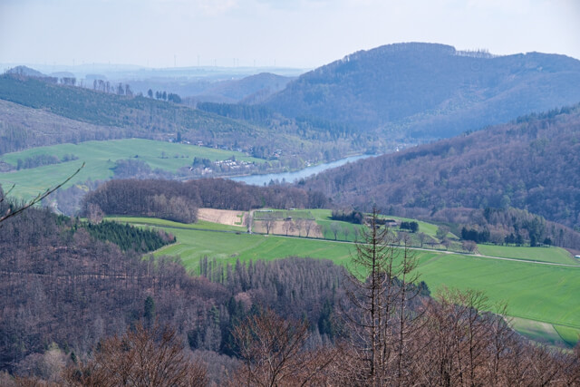
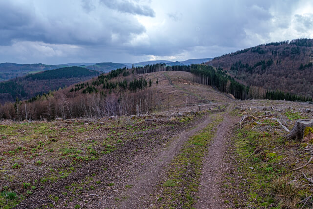
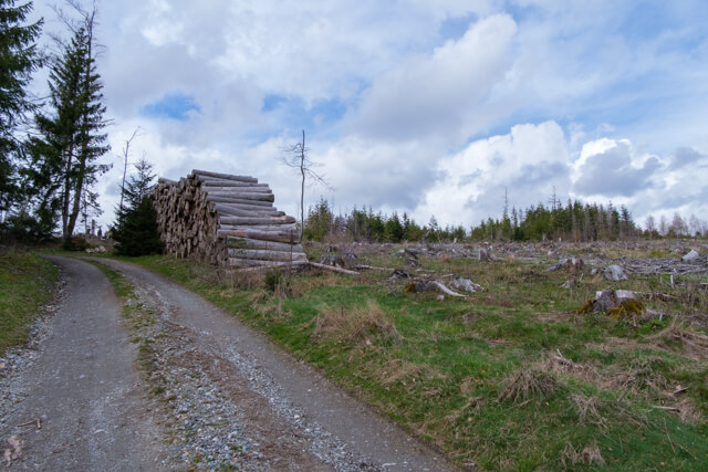
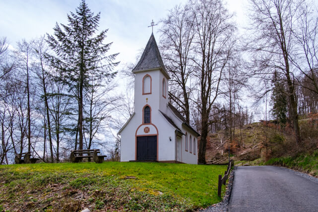
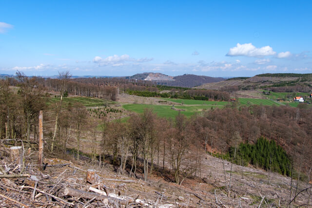
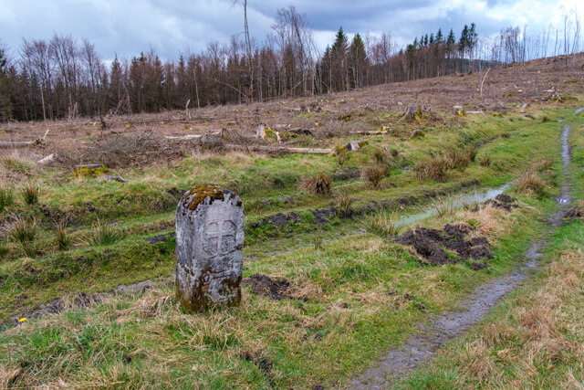
From the church you walk in the direction of the Schutzhütte from where you already have a first beautiful view of the surroundings of the Hemberg. From the hut you walk on a traffic-calmed road to the foot of the Hemberg, you go around the mountain on a wide unpaved forest road. After a crossing of roads you start a steep climb to the ridge of the Twerenberg. You now follow the ridge on the border of the federal states of North Rhine-Westphalia and Hessen, witness to this are the old border posts. It is now up and down to the Rothekopf at an altitude of 682 meters. On the ridge you have fantastic views, unfortunately due to massive logging to combat the dreaded bark beetle. From the Rothekopf you descend to a place called Butterdelle. Here is the turning point of the route. You now take a wide forest road through beech woods and some narrower forest paths to St. Mary's Chapel. From the chapel it is not far to the church and the starting point.
Download PDF for map.
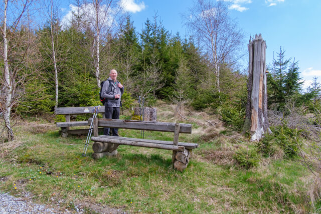
POI 3 - Butterdelle.
In the village of Willingen there used to be too few pastures for cattle. Brilon made pasture available to Willingen for their cattle to graze. Butter was made on site at this place.
No additional information.