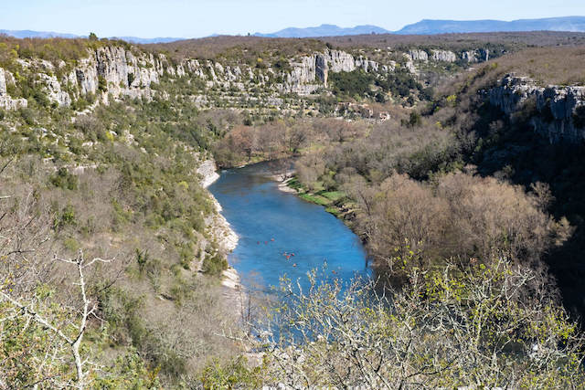
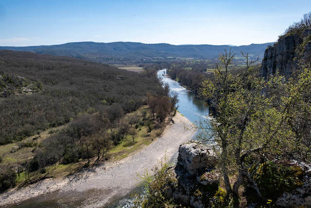
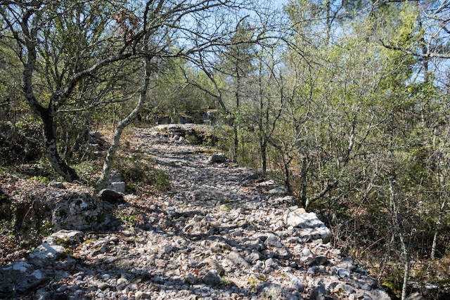
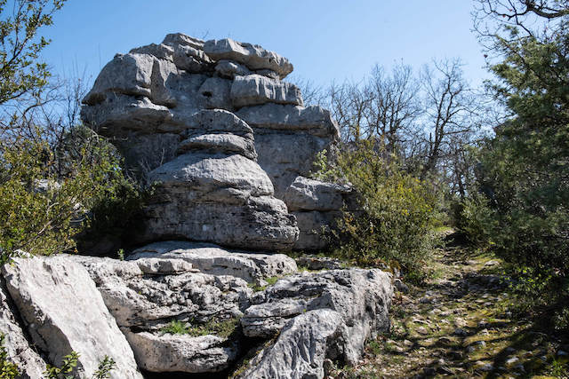
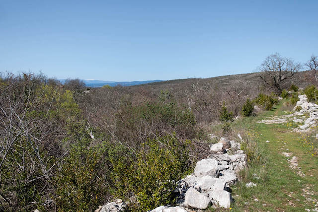
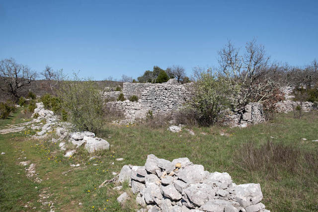
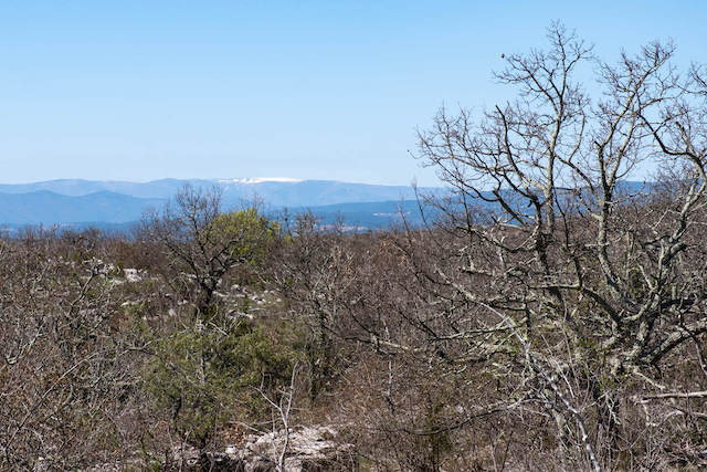
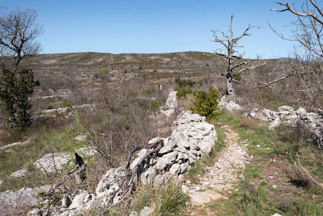
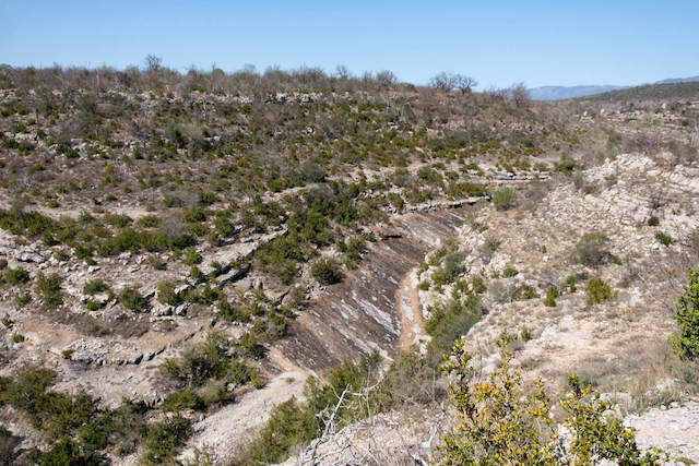
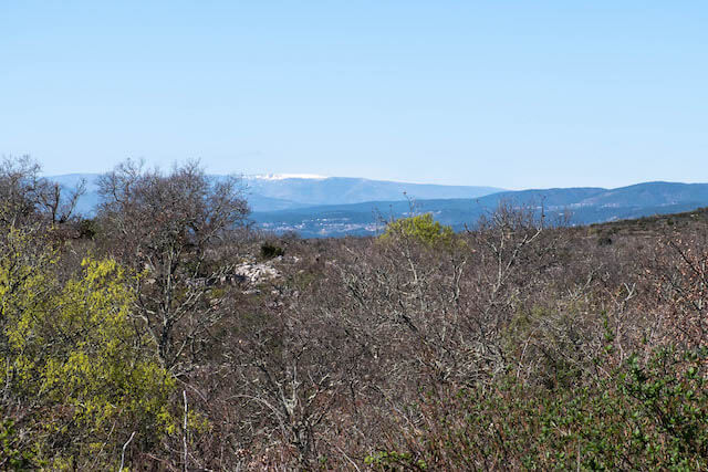
This gps walk goes from the picturesque village of Chauzon via the banks of the Ardèche to the Plateau des Gras. On the way you walk to the belvédère des Aulagniers where you have a beautiful view of the river Ardèche and the hamlet of Viel Audon. On the plateau you can see how rough life was and still is here. The stone walls (murets) and the undergrowth (garrigue) give this landscape a special look. At the valley of the Gournier you have little chance to see water in the river. The view of the gorge is very beautiful, chances are that you will see the herd of sheep of the shepherd, who lives on the plateau, somewhere in the valley.
Distance: 11 km.
Time: 3h00.
Grade: Moderate.
Type: Circular.
Gps Track: Yes.
Route description: No.
Wheelchair: Not suitable.
Dog: Allowed.
Height gain: 400 meters.
Trail: Paved and unpaved.
Marking: None.
Hiking shoes recommended.
Advertisement.
Garrigue and murets.
The walk starts in the village and goes via a paved road in the direction of the Ardèche. Here you walk a short distance along the river to start a short climb next to a campsite. Once you reach the top, you will soon arrive at the 'belvédère des Aulagniers' viewing point. After enjoying the beautiful view, you continue in the direction of the hamlet of Audon and the Plateau des Gras. Once you have crossed the plateau you follow the banks of the Ruisseau de Gournier, very rarely will there be water in this river. You can now follow the valley or walk through the riverbed if you wish. After leaving the valley it goes back in the direction of Chauzon.
Take enough drinking water with you.
Do not undertake in very hot weather.