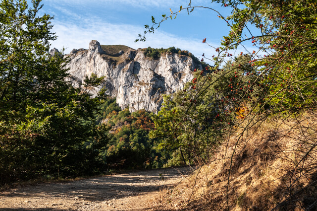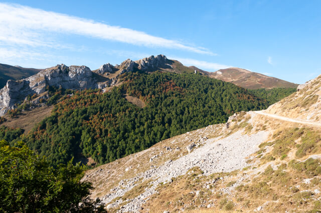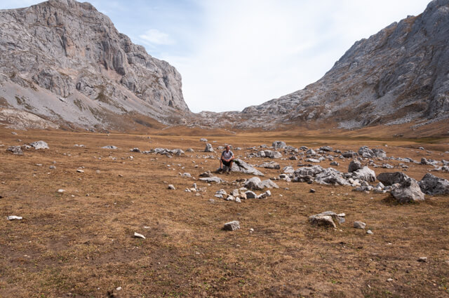
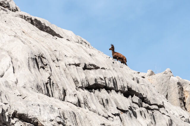
This beautiful mountain hike takes you via goat paths and the debris couloir Canal de Pedabejo to the unique plateau of Vega de Liordes. This mountain meadow of one kilometer in diameter is located at an altitude of 2000 meters and has an exuberant mountain flora in a beautiful setting.
Distance: 13 km.
Time: 5h30.
Grade: Heavy.
Type: Circular.
Gps Track: Yes.
Route description: Yes.
Wheelchair: Not suitable.
Dog: Not allowed.
Height gain: 1053 meters.
Trail: 100% unpaved.
Marking: White-Yellow - PR-PNPE 25.
Hiking shoes recommended.
Advertisement.
Los Tornos path.
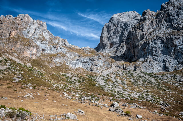
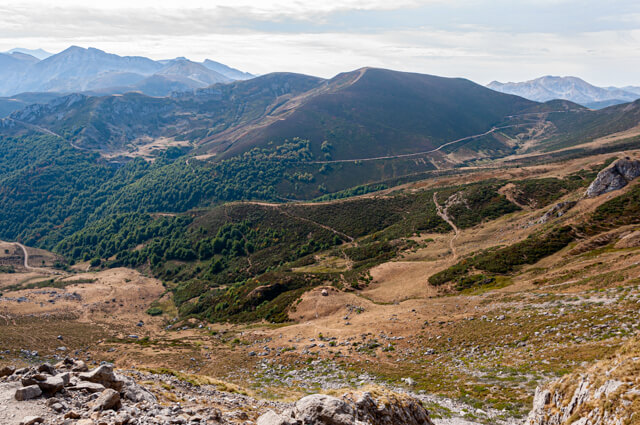
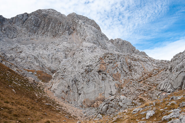
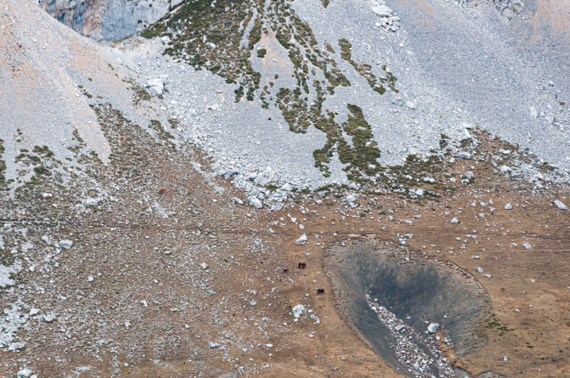
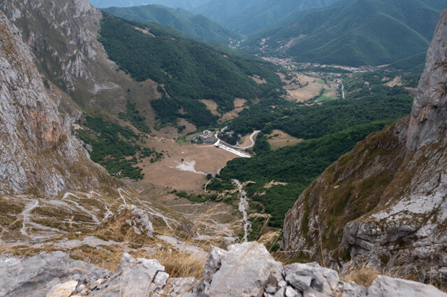
After the tough climb through the debris couloir Canal de Pedabejo you get as a reward a beautiful view of the plain and the Torre de Lambrion (2642m) the highest peak of the Urrieles massif. You walk along a light gray limestone path with many dolines towards cabaña de Liordes. Then follow the edge of the plain towards Collado de Liordes. Suddenly a huge depth opens up, with the meadows of Fuente Dé below. The path first goes left along a steep wall and then you start a long steep descent. This was once the Los Tornos path, a real track that was built for mining. The construction must have been a technical tour de force, it is hardly conceivable that mule carts came up this way. The path is now back the loose debris from which it was once built.
Download PDF for route description.
There may still be snow fields until July.