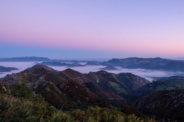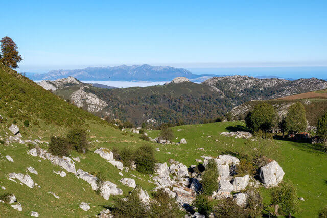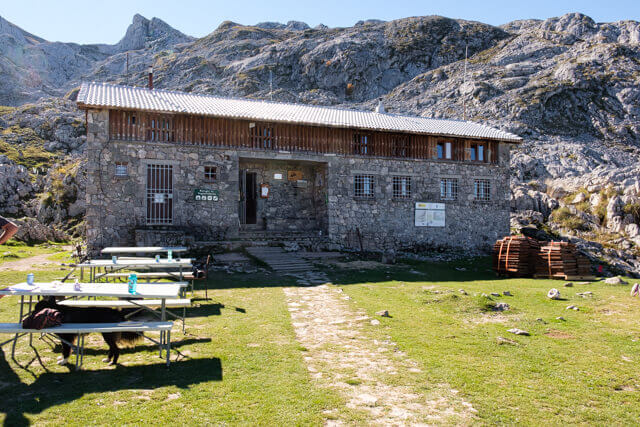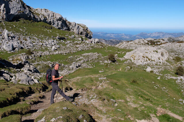
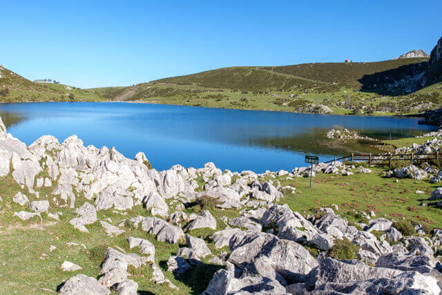
This walk goes along Lake Enol over the plateau of the same name. Once you've crossed the Rio Pomperi, the real work begins. You go along a stony path to a boulder called La Piedrone, around which are typical shepherds' houses. You now climb high above the valley, with beautiful views along the way, in the direction of the refuge Vegarredonda at an altitude of 1460 meters. The refuge is on the route to the Mirador De Ordiales. On the way back you can even see the sea in clear weather.
Distance: 17 km.
Time: 5h30.
Grade: Heavy.
Type: Back and fort.
Gps Track: Yes.
Route description: No.
Wheelchair: Not suitable.
Dog: Allowed.
Height gain: 617 meters.
Trail: 99% unpaved.
Marking: PR AS 5 | White - Yellow.
Hiking shoes recommended.
Advertisement.
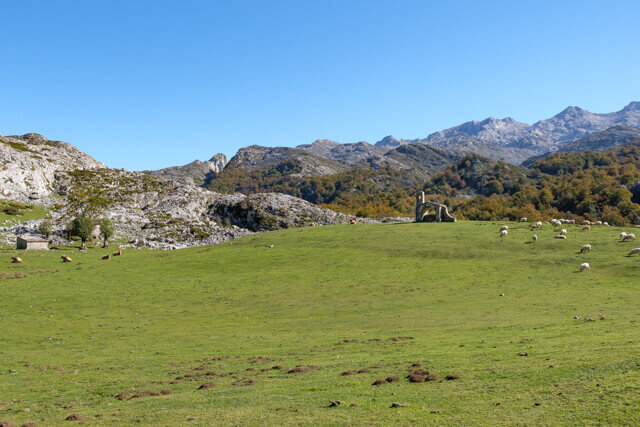
La Piedrone.
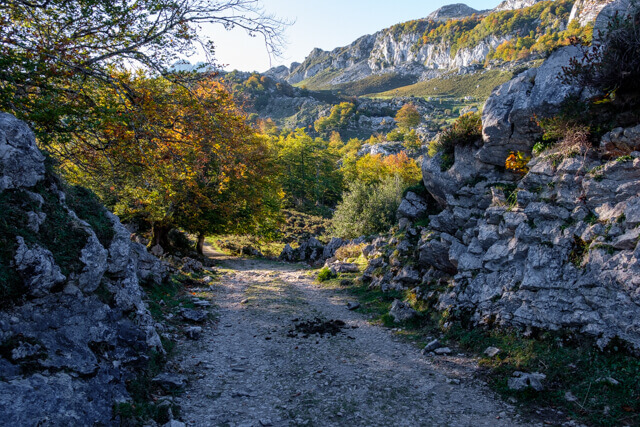
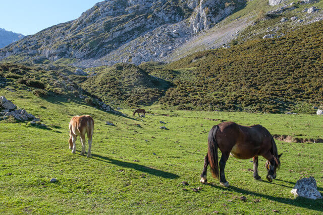
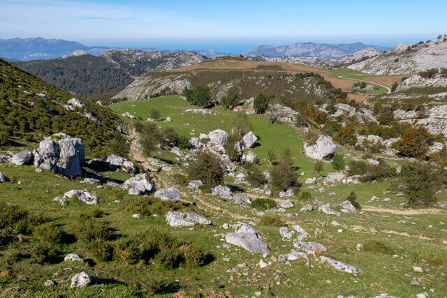
You leave from the car park in the direction of Lake Enol. You go along the lake and arrive on a dirt road. You follow the road over the plateau of Enol. In the meantime it will already be clear that many cows graze here. You pass the Ermita De El Buen Pastor which you can see in de meadows. After about 3 km you come to a fork, here you keep left. A little further you come to a parking lot. The dirt road turns into a stony path and after a while you cross the Rio Pomperi. The path now bends to the west and you soon come to the Vega de Piedre where there are a number of authentic shepherd's houses. You will immediately notice the boulder La Piedrone. The trail now begins to climb steadily through the valley. You have beautiful views along the way. At La Redondiella you climb over a hill and you see the refuge Vegarredonda in the distance. It will take a while before you reach the refuge, you will be welcomed by a friendly hostess and by the horses that have brought your beer all the way up. For enthusiasts: From the refuge you can climb even further to the Mirador De Ordiales. You then have to walk a total of 6 extra kilometers and climb to an altitude of 1750 meters. You return to the starting point via the same path.
You can drive to the departure point if you pass the barrier in Covadonga before 8.30am. If not, you have to take the Shuttlebus in Covadonga.