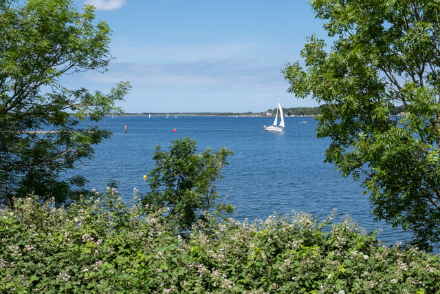
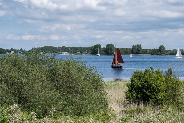
During this walk you will get to know the historic town of Veere and the green, water-rich environment. First you walk along the towpath next to the channel 'Kanaal door Walcheren' in the direction of the 'Oude Veerseweg' nature reserve. Here you follow the banks of the 'Veerse Watergang' and the 'Botjeszeekreek'. Via the forest of Veere and the 'Veerse Kreek' you arrive at the 'Veerse Meer' dike. Before you reach the town again, you walk under the fortress wall wich was build by Napoleon Bonaparte. The marina and the cozy streets with the historic buildings invite you to stroll through the town and enjoy a terrace before heading back to the starting point.
Distance: 13 km.
Time: 3h30.
Grade: Moderate.
Type: Circular.
Gps Track: Yes.
Route description: Yes.
Wheelchair: Not suitable.
Dog: Not allowed.
Height gain: Flat.
Trail: Paved and unpaved.
Marking: Walking nodes.
Hiking shoes recommended.
Advertisement.
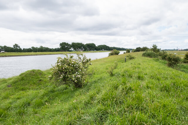
Botjeszeekreek.
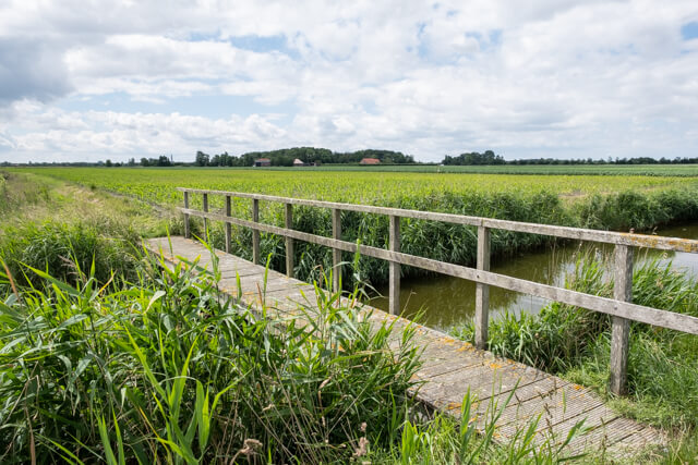
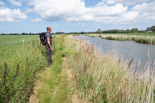
The first part you walk on the towpath next to the 'Kanaal door Walcheren'. At junction 44 you leave the dike and you go via paved roads in the direction of the 'Veerse Watergang'. You follow the banks of the watercourse and you change banks several times. The 'Veerse Watergang' changes into the 'Botjeszeekreek' to end up at the Veere forest. You walk along the edge of this forest to the 'Veerse Kreken'. Via the dike it goes back in the direction of Veere. This historic town invites you to wander around and have a drink before returning to the starting point.
Download PDf for nodes to follow.
Some parts of the route can be soggy.
POI 1 - Veere-Middelburg nature reserve.
The channel 'Kanaal door Walcheren' dates from 1817. Digging was done entirely by hand. Thousands of men dug the heavy clay into wheelbarrows and then pushed it up over shelves. This lasted for years and was a heavy and poorly paid job. The canal provided a better shipping connection from the sea to the city of Middelburg. Unfortunately, it did not bring the success that was expected. Half a century later, it was therefore decided to extend the canal towards Vlissingen. The name "towpath" refers to the path where men with horses walked to pull the ships, especially in low wind. There are dozens of buried cannons along the towpath. These were made in Liège (Belgium) between 1809 and 1824. They were so-called front loaders, guns that were loaded from the front. They were replaced around 1850 by the much more efficient rear loaders. Such a cast-iron cannon weighs between 1,500 and 2,000 kg and is approximately 2.75 meters long. So it was hard work to remove them from here. That has not happened; they were buried during the construction of this canal, with the barrel down. This way they have a beautiful new life as a bollard.
No additional information.
POI 2 - Veerse Watergang.
These meadows are managed by Het Zeeuwse Landschap as a nature reserve. This traditionally wet pasture area used to be many times larger. Until the 16th century, moernering took place here, just like in other lower-lying pool areas in Zeeland. Peat was removed from under the clay layer and used for salt extraction. This created patterns of shallow ditches. The area was intersected with numerous ditches that divided it into small plots, with an occasional well for the cattle in it. It was very wet there and often there was salty seepage.
No additional information.
POI 3 - Veerse Bos en Veerse Kreek.
The forest of Veerse is a planted deciduous forest on and around the 'Veerse Kreken'. These creeks were created at the end of the Second World War, when violent bombing of the Allies destroyed the sea dikes on Walcheren. After the restoration of the dikes, the channels caused by the tide were left behind like creeks in the landscape. The 'Veerse Kreek' is one of the four places on Walcheren where the Allies bombed the sea dyke in 1944 to flood Walcheren. This is to avoid battles such as in Zeeland Flanders and to prevent the movement of German troops. After being in salt water for a year, there was no tree or plant left outside the city and village centers.
No additional information.
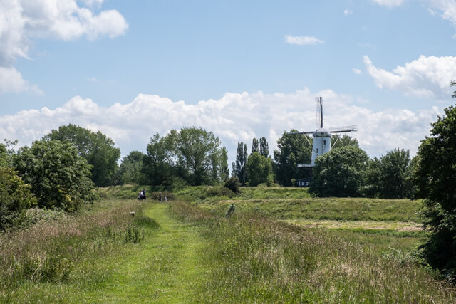
POI 4 - De Koe windmill.
De Koe windmill is a flour mill on the edge of Veere. It is a round mill that was built in 1909. The mill is painted entirely in accordance with Zeeland tradition. The mill was built on the site where there used to be a ground sailer from 1736. The mill has been restored several times and is still running occasionally.
No additional information.
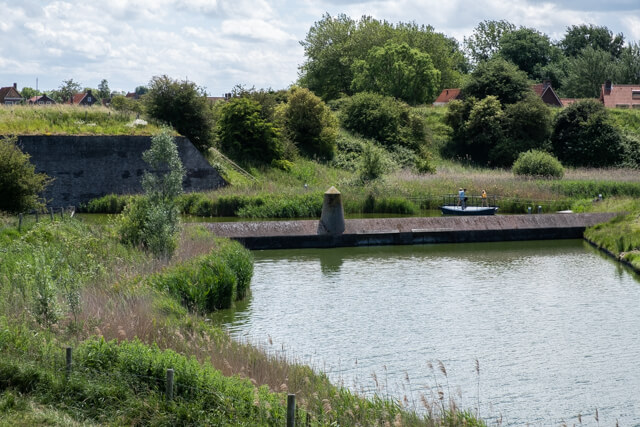
POI 5 - Veere.
With direct access to the open sea and the rich Flemish cities in the area, Veere has developed into an important trading center. The wool trade with Scotland in particular flourished. Such an important port and trading city had to be able to defend itself, hence walls, gates and towers were built. The Great Church has had various functions. In addition to being a religious center, it was a hospital for Napoleon's soldiers, later barracks and now a cultural center. In 1581 the Prince of Orange bought the marquise Veere. The Marquis van Veere title is still in the possession of the house of Oranje-Nassau.
No additional information.