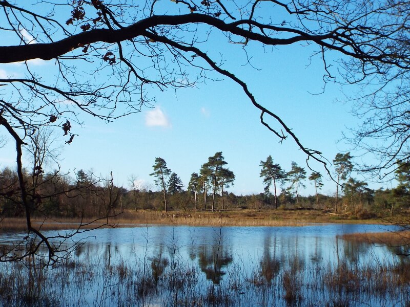
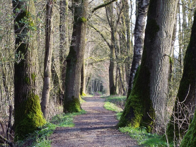
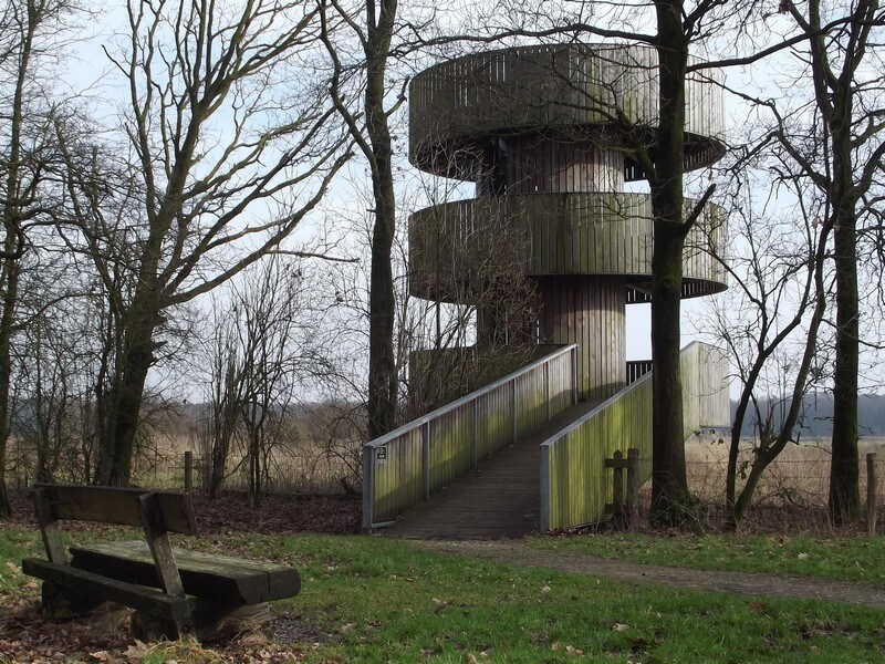
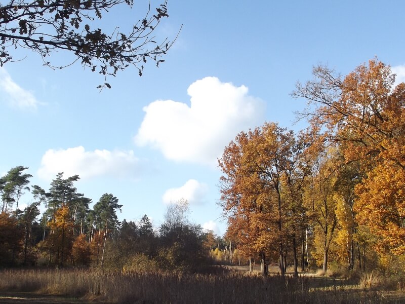
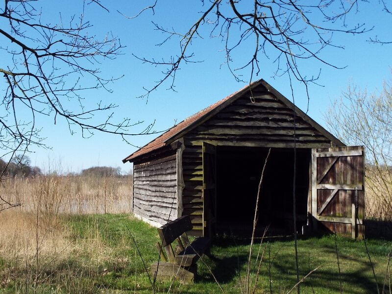
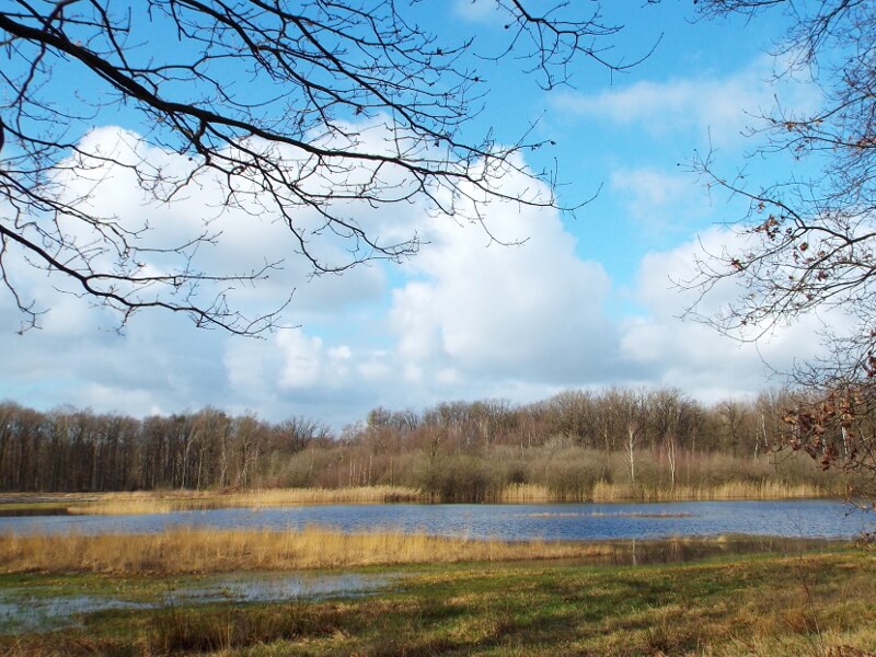
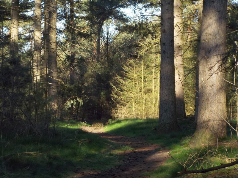
Hike through the Hugter heath and the Weerter forest. The Hugter heather consists of shifting dunes mainly overgrown with pines, in the forest area often nice winding forest paths are followed. The Weerter forest is located in a lowland area with fens, marshy areas and a large area of open grasslands. From an observation tower you have a beautiful view over the grasslands.
Distance: 18 km.
Time: 4h00.
Grade: Moderate.
Type: Circular.
Gps Track: Yes.
Route description: Yes.
Wheelchair: Not suitable.
Dog: Allowed.
Height gain: No info.
Trail: 92% unpaved.
Marking: See PDF route description.
Hiking shoes recommended.
Advertisement.
Hugter heather.
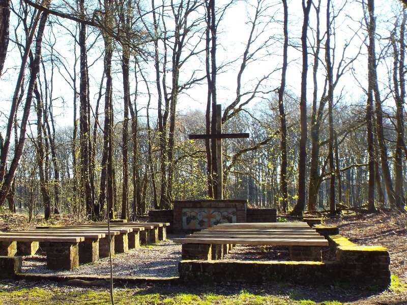
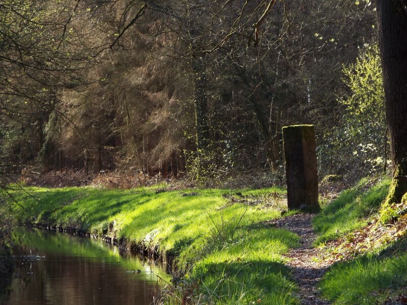
Red deer are once again in this area as part of a reintroduction project. A beautiful stream the Oude Graaf runs through the Weerter forest. Furthermore, as an point of interest you will pass a border church monument and the border post "The old Meulenstat of Hugten". The border church monument is a memory from the period 1648 to 1795. In that period a state border ran between the Republic of the United Netherlands and the Spanish. For the sake of the Catholics, who were not allowed to practice their religion in public in the Republic, a church was established just across the border. The name of the historic landmark "The old Meulenstat van Hugten" recalls the place "stat" of an old watermill "meulen" on the Sterkselse Aa. The long-gone watermill and the boundary marker placed in 1549 formed a boundary over the centuries, sometimes between countries, such as in 1648 a border between the Republic of the United Netherlands and the Spanish and now between the province of Limburg and North Brabant.
Download PDf for route description.