Walking route
The Convex Field


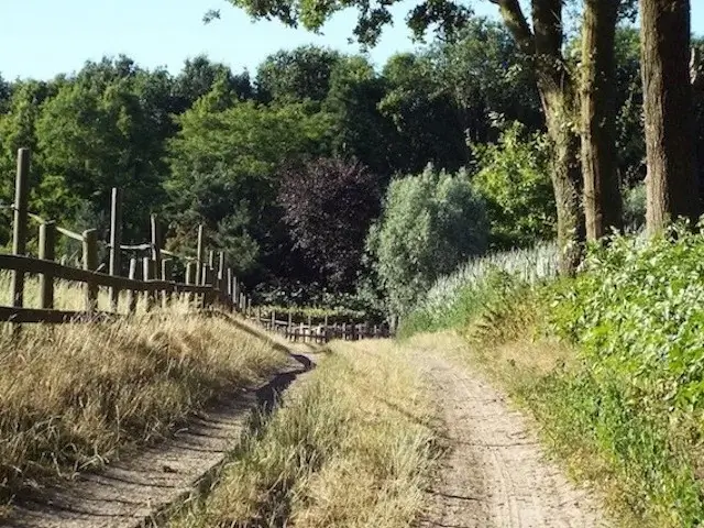
The Convex Field.
Walking tour along De Bakelse Plassen, through the forest area Nederheide and the forest area Grotelsche Heide also called Grotelsche Bos.
Distance: 19 km.
Time: 4h30.
Grade: Moderate.
Type: Circular.
Gps Track: Yes.
Route description: Yes.
Wheelchair: Not suitable.
Dog: Allowed on leach.
Height gain: No info.
Trail: 85% unpaved.
Marking: See PDF route description.
Hiking shoes recommended.
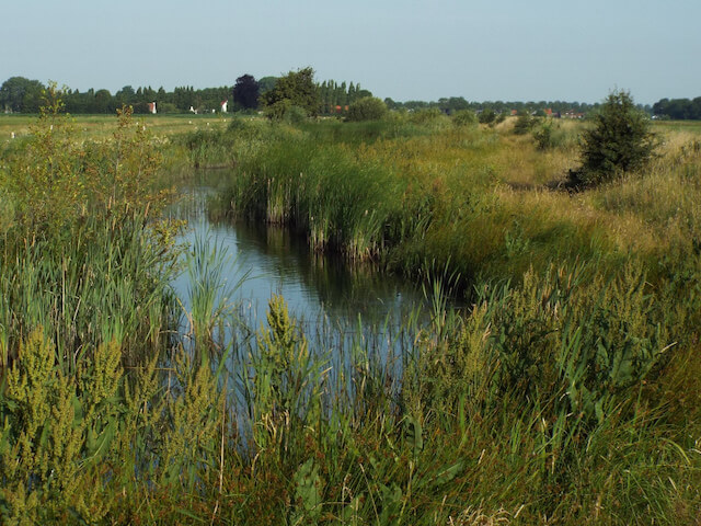
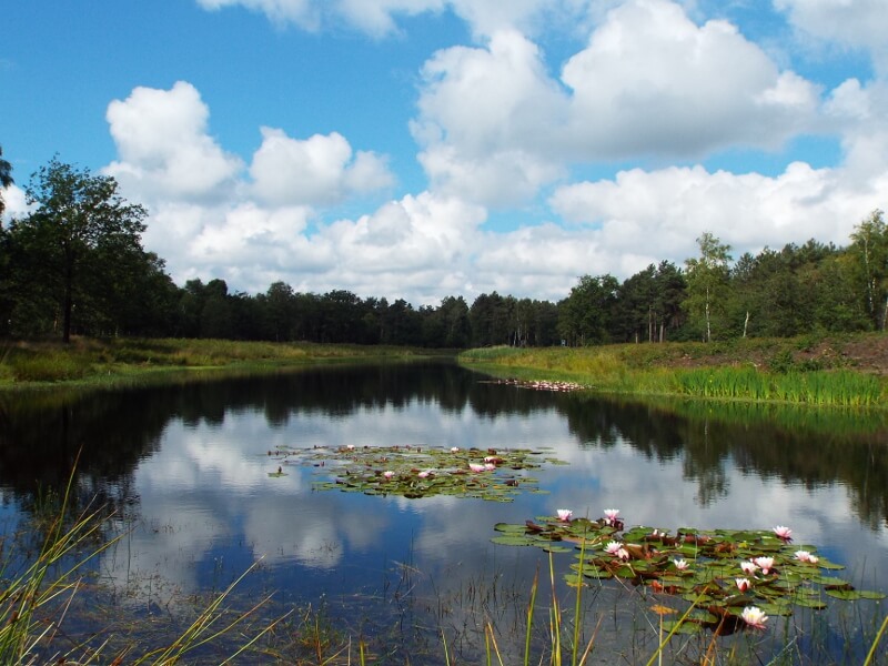
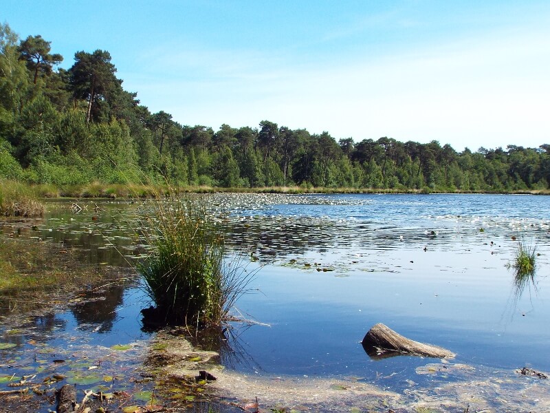
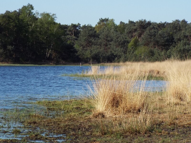
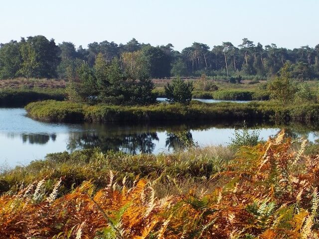
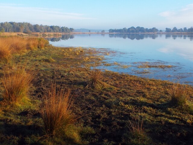
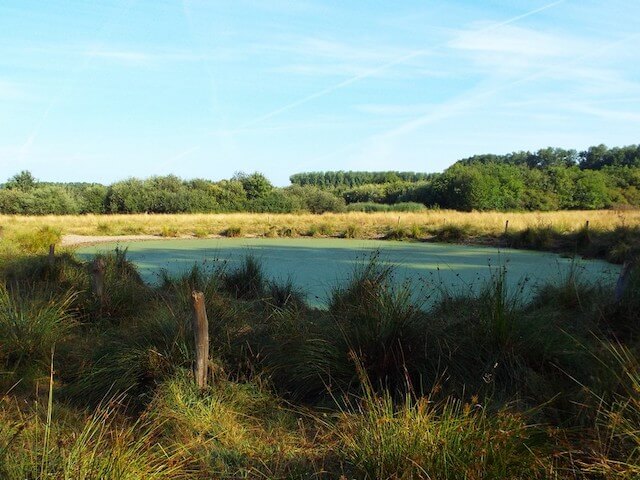
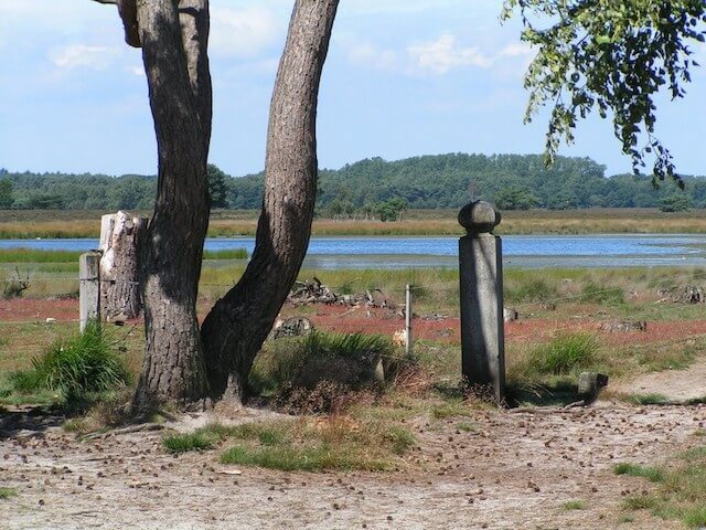
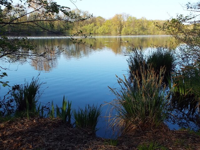
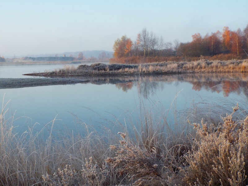
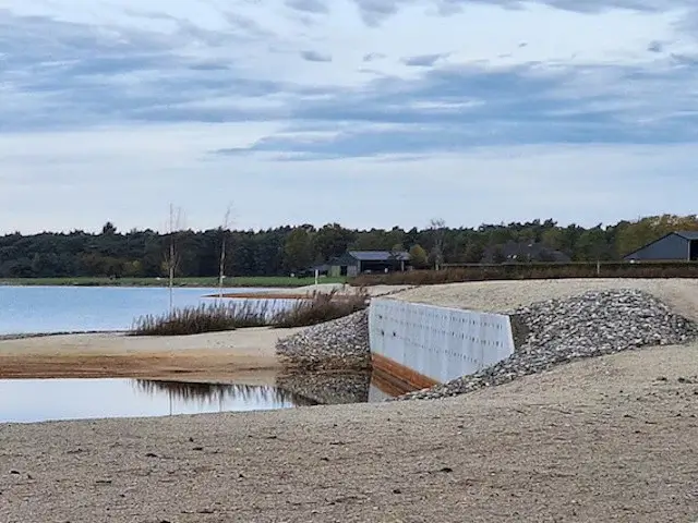
The Bakelse Plassen.
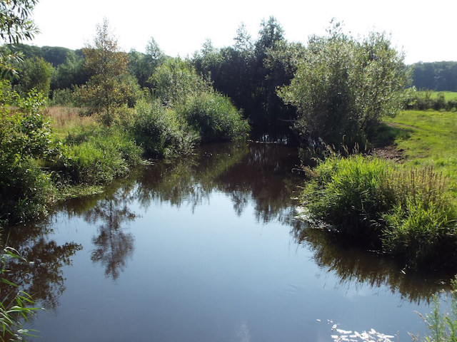
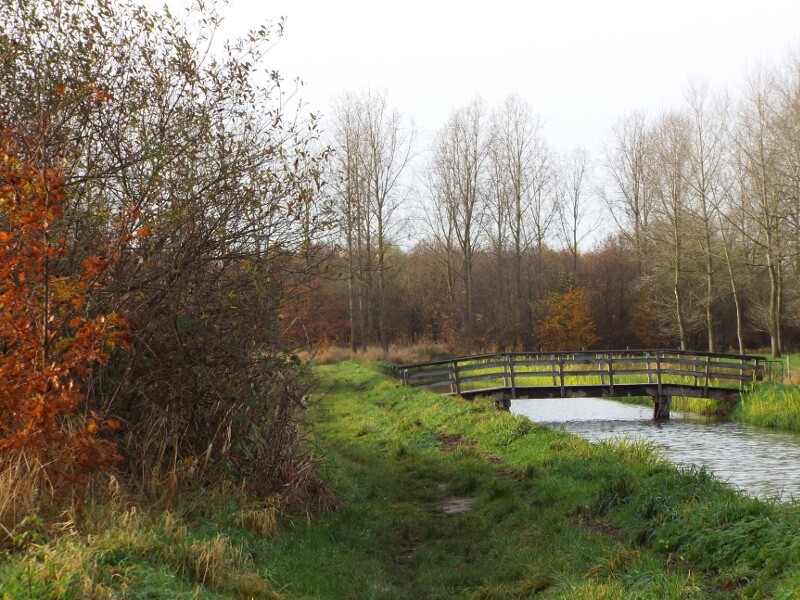
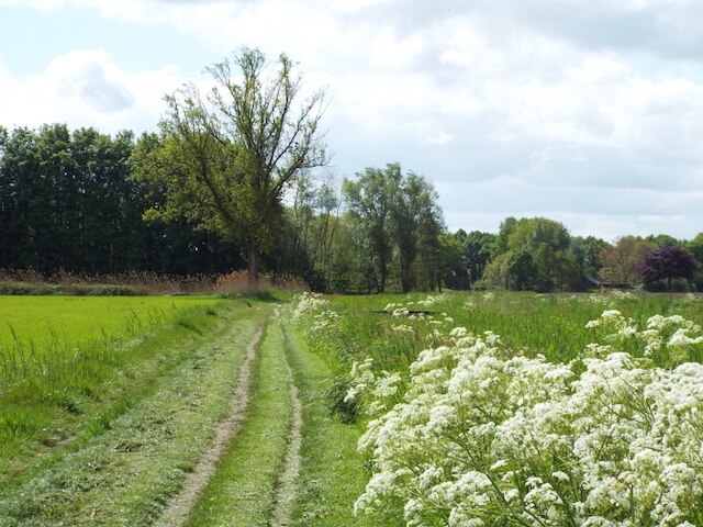
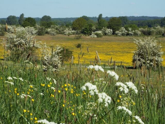
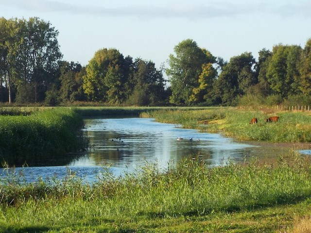
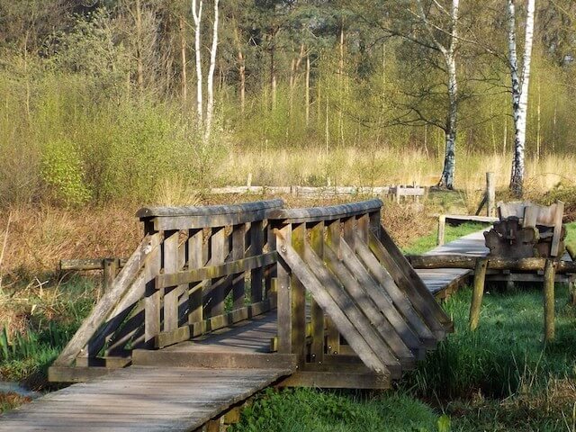
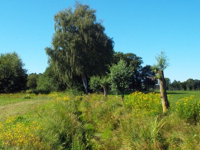
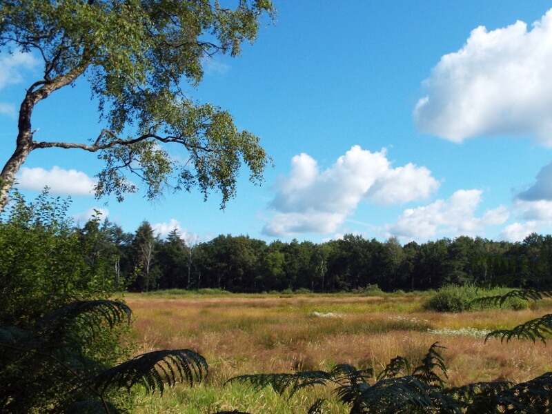
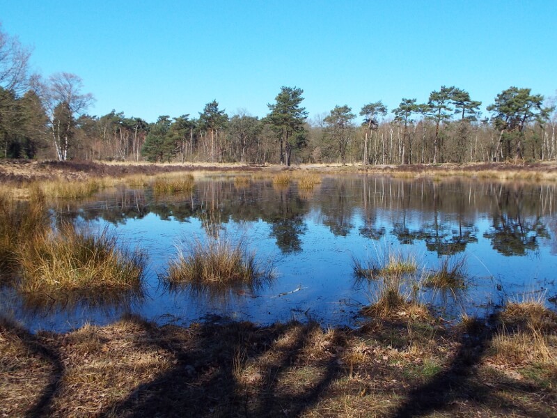
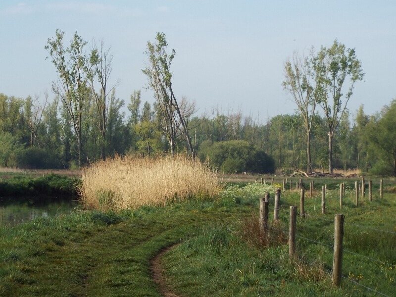
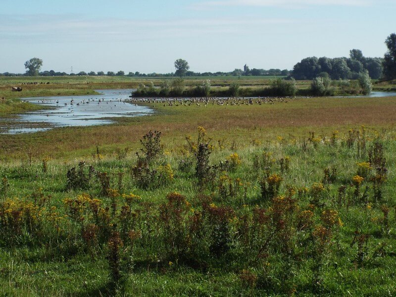
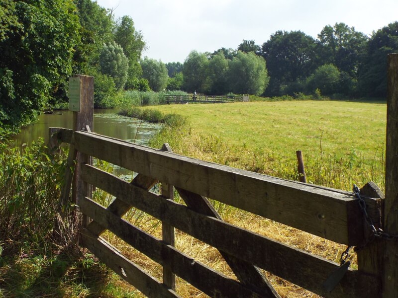
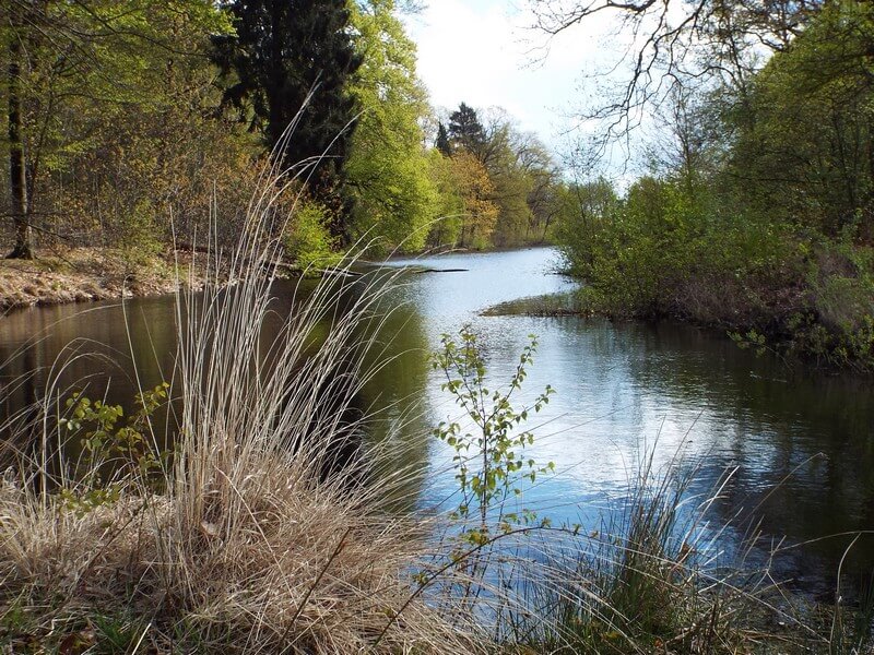
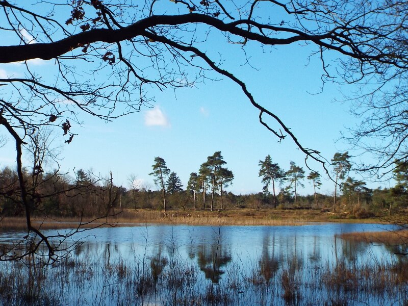
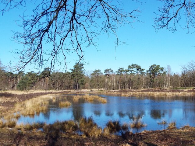
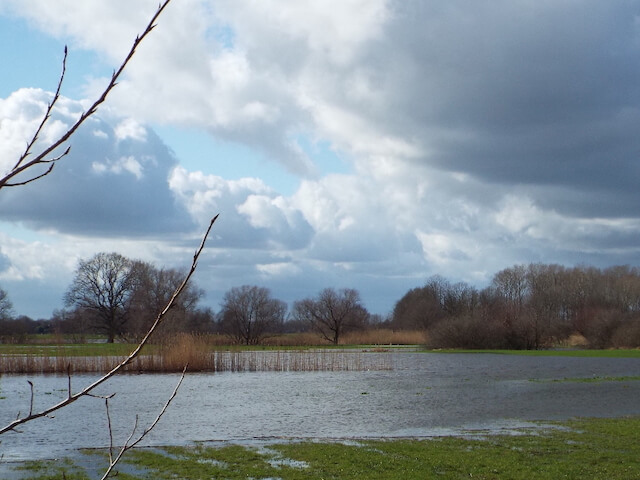
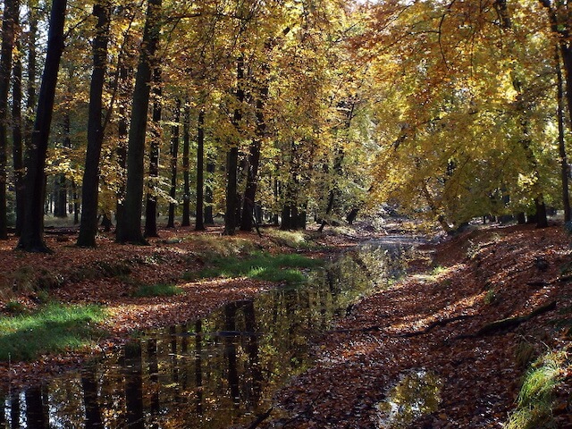
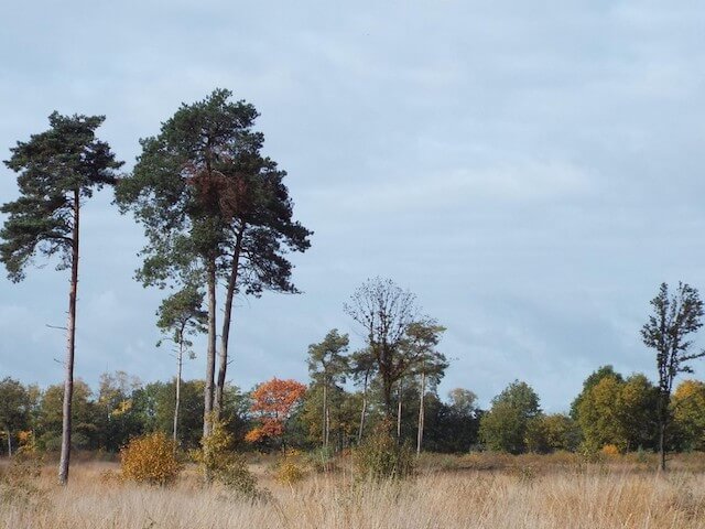
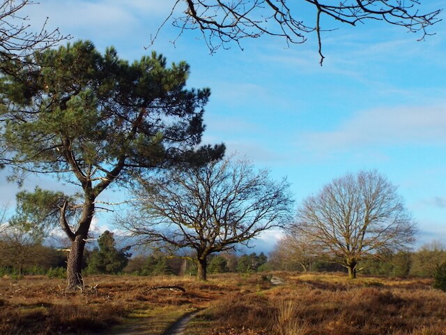
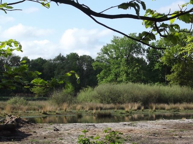
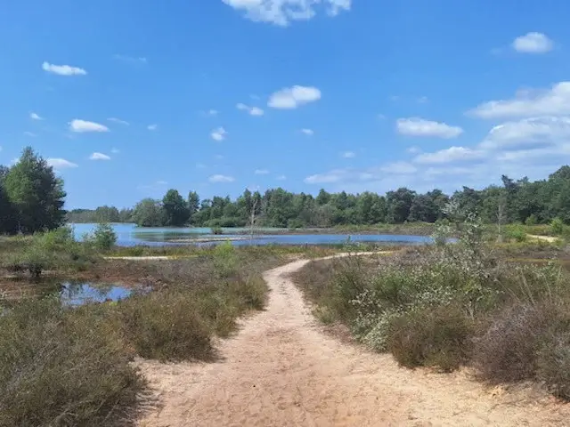
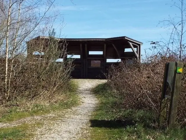
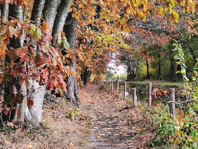
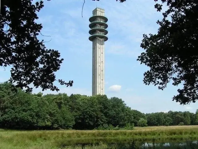
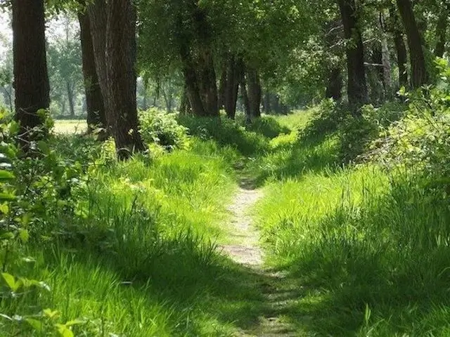
Quite early on, the hike begins on the edge of Bakel, in a small wooded area, over a high drifting dune. Originally, a 14-meter-high drifting dune, the Zandse Berg, was located elsewhere on the edge of Bakel. This dune was excavated in 1953 and used for the construction of the Bakel-Deurne road. The hill in the small wooded area has since been called the Zandse Berg. This drifting sand hill is part of a crescent-shaped dune. The Bakelse Plassen is a large gravel extraction area. Gravel is still extracted, but since 2011, redevelopment of parts of the area has begun. A golf course has been created on the south side, while a wetland nature reserve for birds has been created on the north side, bordering the Nederheide heath. The Nederheide heathland consists of a mix of woodland and a few small patches of heathland. In this forest, a beautiful narrow path leads through larger and smaller semi-open areas. The Grotelse Heide is also a woodland area with a large, open grassy grazing area where Angus cattle and Kempen heath sheep graze year-round. In this area, the meandering streams "Snelle Loop" and "Esperloop" are followed, the latter being more or less a perfectly preserved "heath stream." At the end of the hike, the phenomenon of a "bolled field" (rounded field) can be seen. Fertilizing with plant remains over the past 400 years has created height differences. At the end of the hike in Bakel, you'll also pass the Sint Willibrordus post mill, a point of interest. The year of construction is uncertain, but dates from 1606 and 1752 have been found.
Download PDF for route description and map.
Practical information: In Bakel, the walk goes through the edge of a public park with playground equipment. Dogs are not allowed in this park. For walkers with a dog, the "With dog" alternative is available.
POI 2 - The Stegebergse Paal.
The municipal boundary marker “Stegebergse Paal”, one of the boundary markers on the former border between Gemert and Bakel-Milheeze, established in 1544 and removed after 1996.
No additional information.
POI 3 - Sint Willibrordus windmill.
The Sint Willibrordus mill is a closed standard mill built in 1586 and covered with oak shale. Under the awning of the hood is a dial painted with the pointer at half past ten. In 1893, the mill was moved 50 meters to the west. The mill is located at Achter de Molen in Bakel.
Additional information:
www.molens.nl.


Walks North Brabant.