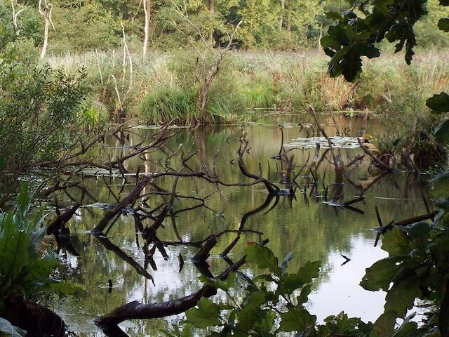
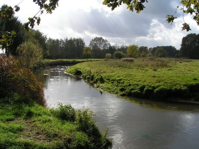
A large part of the hike goes through the Malpie nature reserve. Before visiting the Malpie, the tour goes along the Malpiebeemden, through Opperheide forest and along the river Dommel.
Distance: 17 km.
Time: 4h00.
Grade: Moderate.
Type: Circular.
Gps Track: Yes.
Route description: Yes.
Wheelchair: Not suitable.
Dog: Allowed.
Height gain: No info.
Trail: 87% unpaved.
Marking: See PDF route description.
Hiking shoes recommended.
Advertisement.
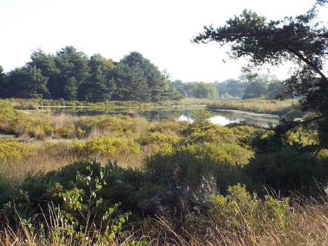
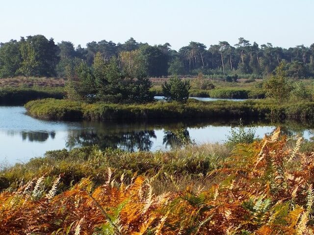
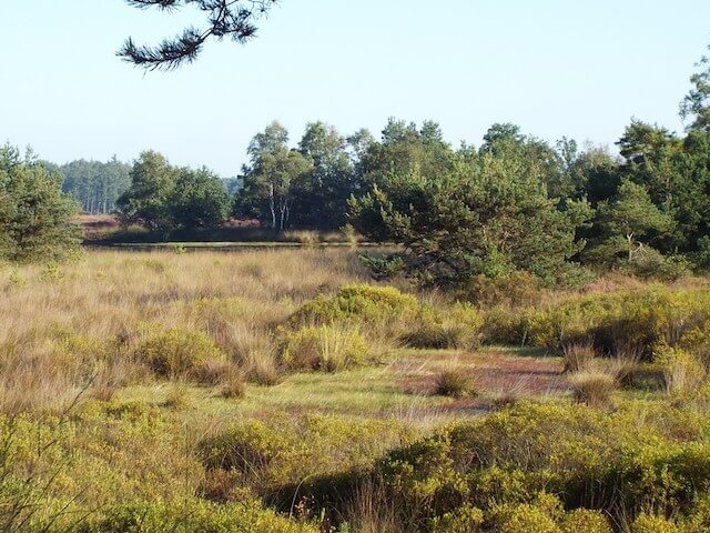
Malpiebeemden and Opperheide.
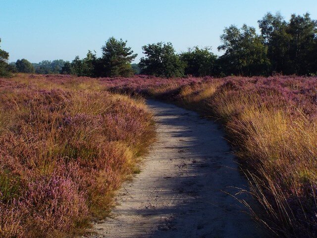
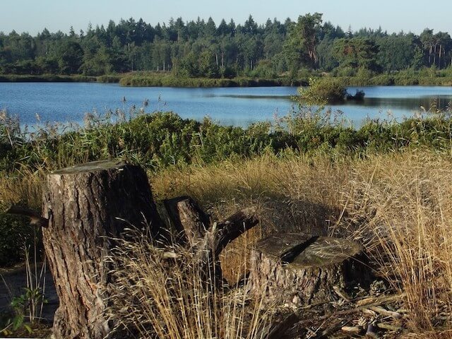
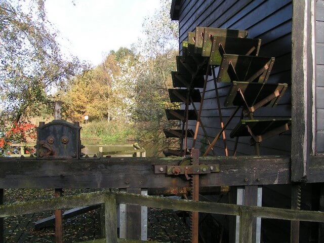
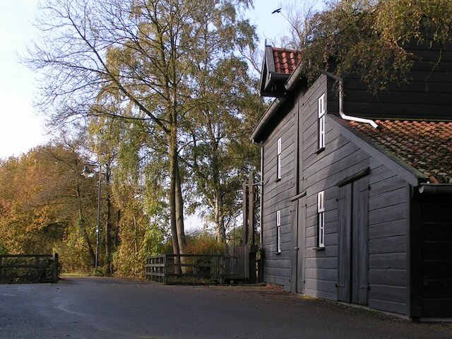
The Dommel flows right through the area, with the wetter meadows in particular on the east side and the higher dry forests and the large heather area on the west side. After a short visit to the town of Borkel, the hike first goes through the wooded part of the Malpie, after which the heathland is crossed. The heath area in particular is a very attractive walking area with various small but also large fens, such as the Groot Malpieven. At the starting point one sees the Venberg watermill as a point of interest.
Download PDf for route description.
Because the Venberg watermill is not accessible by public transport, Borkel was chosen as the starting point for hikers who use public transport.
POI 1 - Venbergse watermill.
The Venberg watermill is an old watermill, the mill was first mentioned in 1227 as the property of a sister monastery in Postel. The current building dates from 1895.
Venbergse watermill.
www.visitbrabant.com