This varied walk goes through forests and heathland, along various fens such as Kromven, Wit Hollandven and Keijenhurk. At the end you walk along the Kleine Beerze.
Distance: 10 km.
Time: 2h30.
Grade: Easy.
Type: Circular.
Gps Track: Yes.
Route description: No.
Wheelchair: Not suitable.
Dog: Allowed.
Height gain: No info.
Trail: 90% unpaved.
Marking: None.
Hiking shoes recommended.
Advertisement.
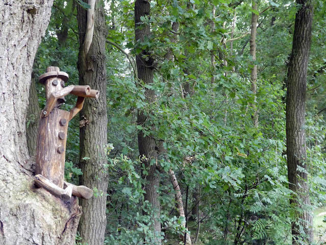
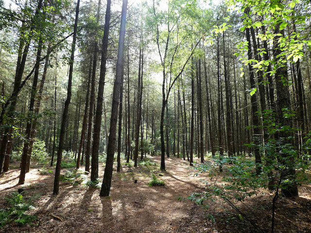
Kuikeindse Heide.
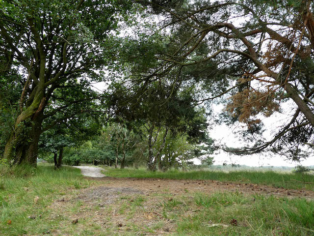
The landscape south of Middelbeers offers variety between agriculture, a lot of forest and heathland and streams. Located on the edge of De Kempen, this area forms the border between Het Groene woud and the more southern regions, towards Flanders.
No route description available.
POI 1 - Landschotse Heide.
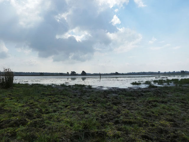
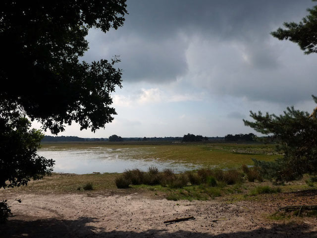
The area consists of moist heath with a number of large fens: Keienhurk, Berkven, Wit Holland Ven, Scherpven and Kromven. These fens are rich in water birds and waders. Adjacent to the north and east is the Kuikeindse Heide, which is a softwood area. The Landschotse Heide still played a role during the Second World War. At Welschap the German occupiers then trained bombers who had to practice bombing ships on the Landschotse Heide. A sham harbor was constructed for this purpose and sham boats were also built. These consisted of earthen ridges of 50 m long and 7 m wide, with a sort of wooden cabin on top. A number of these earthen ramparts are still there. The bunker, from which observations were made, can still be found there. Often concrete bombs were used that indicated by a smoke pattern where they fell. After the liberation, a large part of the heath was mined. The farmers used the concrete bombs to decorate their yard.
Brabants Landschap.
www.brabantslandschap.nl.