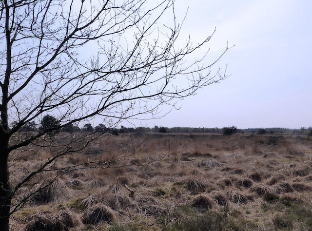
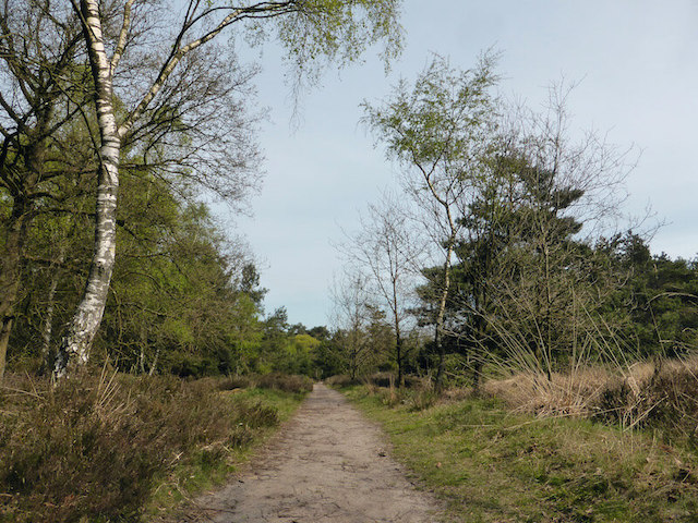
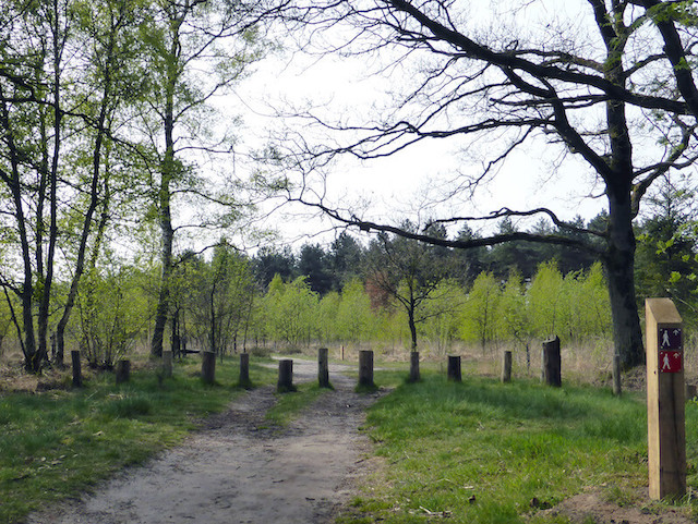
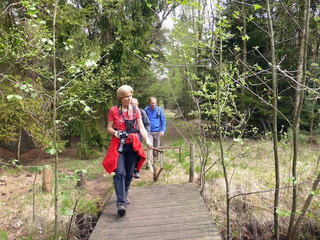
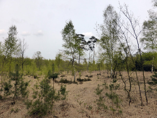
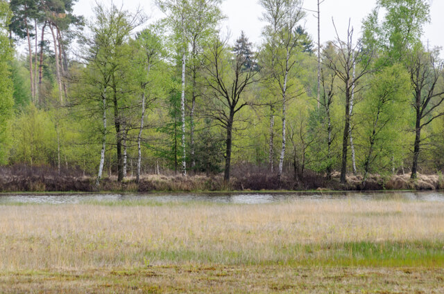
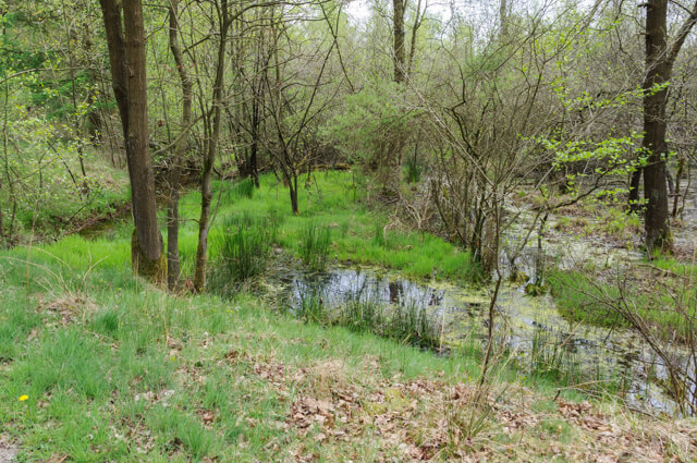
This gps walking route goes through the De Kempen Forestry, along the Cartier heather, through forest and along the heathland in development. In De Kempen, on the border of the Netherlands and Belgium, civilization is far away with the exception of the short stretch next to the motorway. Sandy roads lead past fields and through endless forests. Where the pine forests give way, lies the large, quiet heath with drifting sand and swamps.
Distance: 10 km.
Time: 2h30.
Grade: Easy.
Type: Circular.
Gps Track: Yes.
Route description: No.
Wheelchair: Not suitable.
Dog: Allowed.
Height gain: Flat.
Trail: Paved and unpaved.
Marking: None.
Hiking shoes recommended.
Advertisement.
De Kempen forestry.
Varied walk that takes you past various types of coniferous and deciduous forest and across the Cartierheide in the Brabant Kempen.
POI 1 - The Kempen forestry.
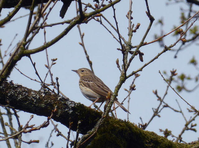
Napoleon left his mark on the Cartierheide. The forests formed the site of smugglers, and peddlers walked along the sandy paths with their merchandise in a basket. The landscape here is full of stories. In the Kempen, on the border of the Netherlands and Belgium, civilization is far away. Sandy roads lead past fields and through endless forests. Where the pine forests give way, lies the large, quiet heath with drifting sand and swamps. An almost fairy-tale area! The Dalems Stroompje winds its way on the Cartierheide. The white water ripple blooms here in the spring. The hazelworm and the smooth snake roam on the heath. If you come across them, don't worry. They are absolutely non-toxic. In the twilight the nightjar hunts in the forest. Goat milker, is his nickname. In the past, goats grazed on the heath. With wide open mouths, the night swallows swarmed around the animals. The farmers thought to drink milk. In reality, they filled their belly with insects.
Staatsbosbeheer.
www.staatsbosbeheer.nl.