Walking tour through the Maaspark Ooijen-Wanssum, the town of Blitterswijck and the Hooge Heide forest area.
Distance: 17 km.
Time: 4h00.
Grade: Moderate.
Type: Circular.
Gps Track: Yes.
Route description: Yes.
Wheelchair: Not suitable.
Dog: Allowed.
Height gain: Flat.
Trail: 72% unpaved.
Marking: See PDF route description.
Hiking shoes recommended.
Advertisement.
Hooge Heide.
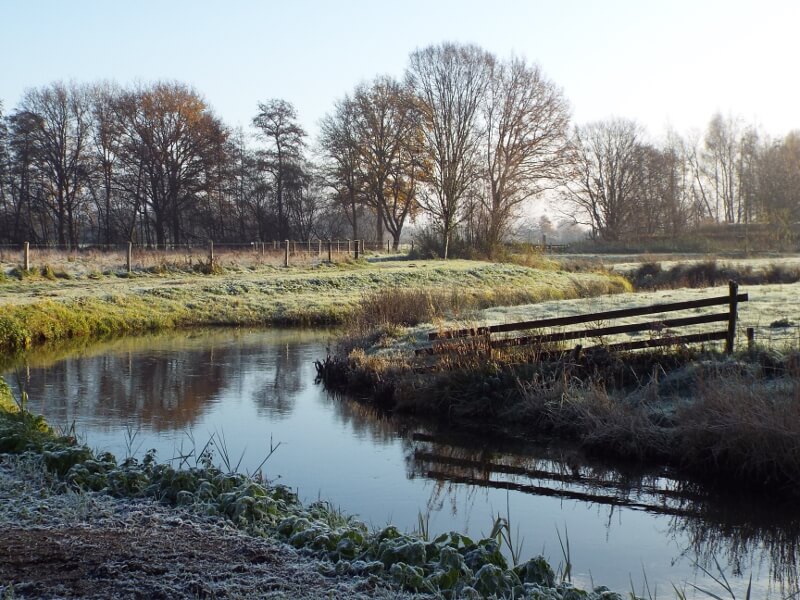
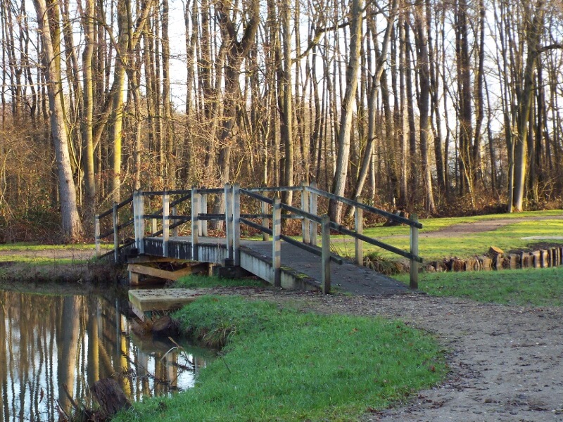
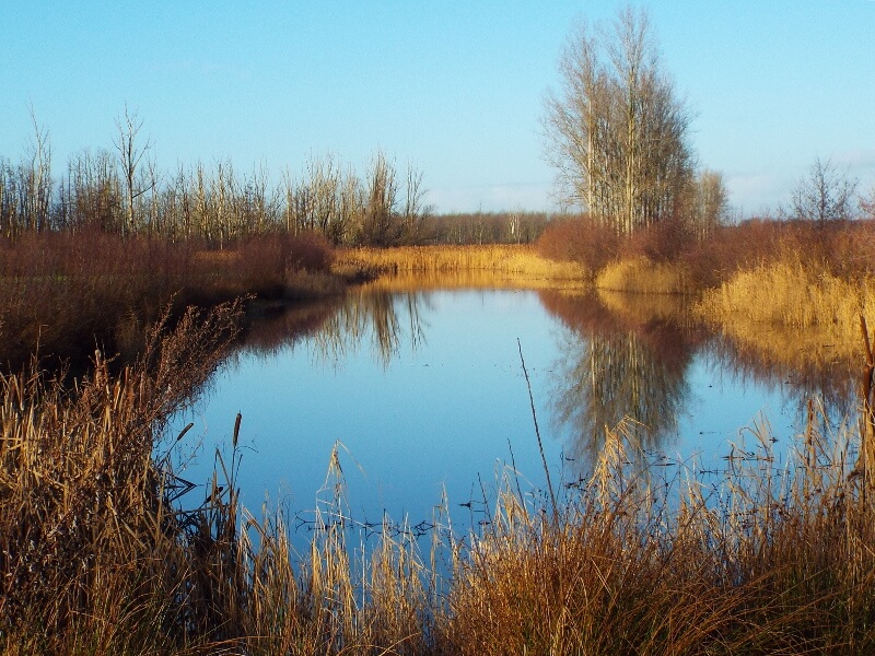
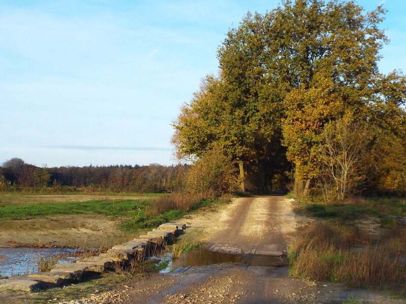
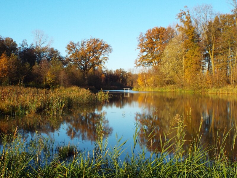
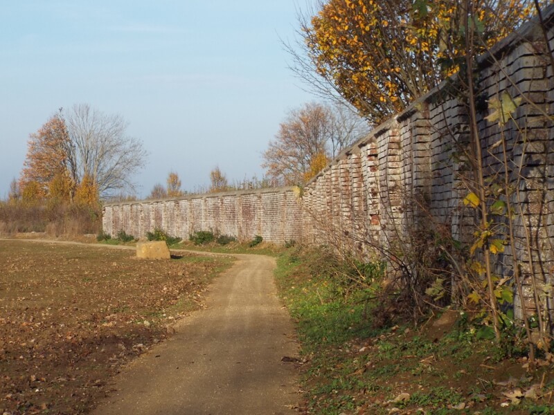
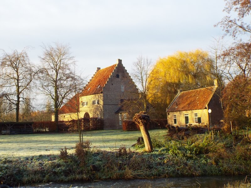
The Maaspark Ooijen-Wanssum is an area that is newly designed in 2020 with channels and depressions in numerous places. These ensure a better flow of the Meuse during high water. The walking tour goes through part of the climate buffer 't Sohr, which was built in 2012, an old Meuse meander that is now part of the more than 500 hectares largest continuous area with Maas nature in North Limburg. In Blitterswijck, the remainder of Blitterswijck Castle is visited, what remains are pieces of wall that remain. Blitterswijck Castle was a castle from the 14th century, the castle was blown up in November 1944 by retreating German soldiers. Until 1820, Hooge Heide was part of an extensive heathland area that was later planted with trees because drifting sand threatened the surrounding villages. The Groote Molenbeek flows on the edge of Meerlo, with Meerlo Castle as its landmark, also known as 't Kasteelke. It is a so-called castle farm that was founded in 1619. It is presumably older, as it was largely destroyed by fire during the 80-year war.
Download PDF for route description.
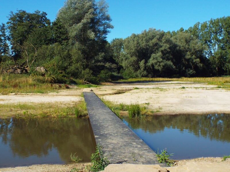
Once in a while, Maas water flows through the area. At high water levels of the Meuse, the high water channels are the first to flow along. When the water levels in the Meuse continue to rise, the entire ten-kilometre-long newly designed Maasarm from Ooijen to Wanssum will be filled with Meuse water and this walking tour cannot be walked.