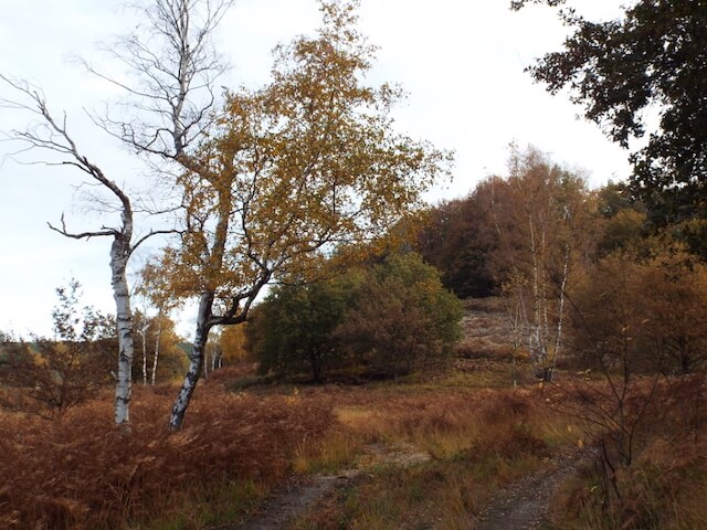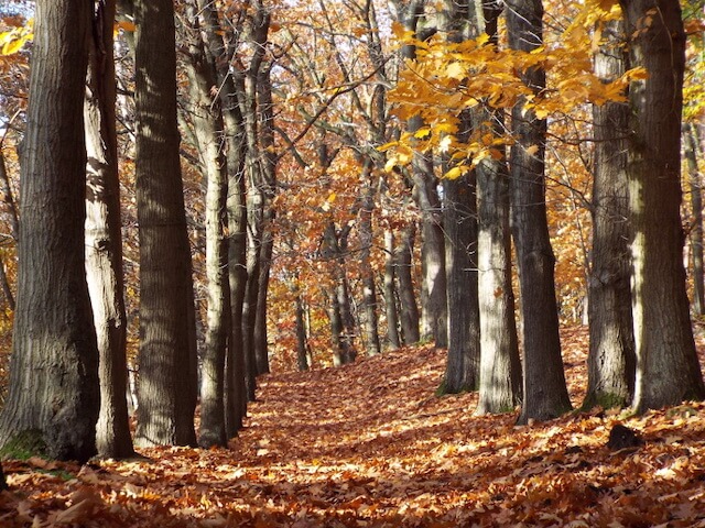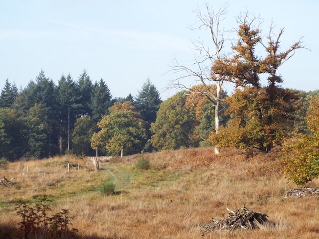
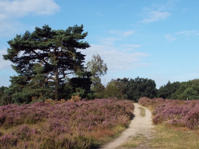
Hike through The Meinweg National Park. The Meinweg consists of a terraced landscape that is special for the Netherlands with steep transitions between these terraces. This unique landscape was created in the course of ten thousand years by scrapping the water of the Maas in combination with three fault surfaces in the earth that run through the national park, including the Peelrand Fault.
Distance: 21 km.
Time: 5h00.
Grade: Moderate.
Type: Circular.
Gps Track: Yes.
Route description: Yes.
Wheelchair: Not suitable.
Dog: Allowed.
Height gain: Flat.
Trail: 98% unpaved.
Marking: See PDF route description.
Hiking shoes recommended.
Advertisement.
Rode Beek.
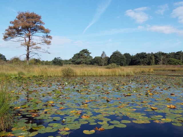
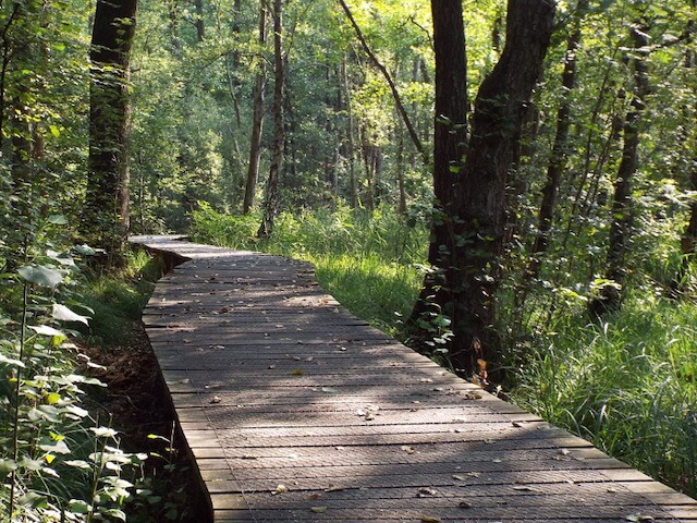
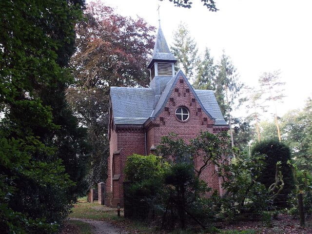
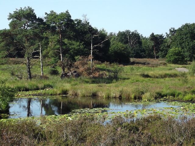
During the hike you will pass some beautiful fens such as the Rolvennen and the Elfenmeer. The Meinweg is bisected by two streams, one of which is the Rode Beek, which carries the water from the plateaus to the Roer. The hike goes through the stream valley of the Rode Beek with the beautifully situated Dalheimer Mühle just across the German border. The history of the Dalheim mill begins with a sales certificate from 1231, later the mill was destroyed several times by fire. The last time in 1998, after years of construction, the mill reopened in 2008. The Rode Beek forms the national border between the hamlet of Vlodrop Station and the village of Vlodrop, about 5 km away. As a further sight one passes the St. Ludwig Chapel with the cemetery of the former Franciscan monastery of St. Ludwig and the Iron Rhine, a disused railway line. Initially the intention was to dig a canal. Later on, a railway line was preferred, hence the name Iron Rhine.
Download PDF for route description.