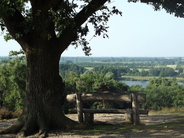
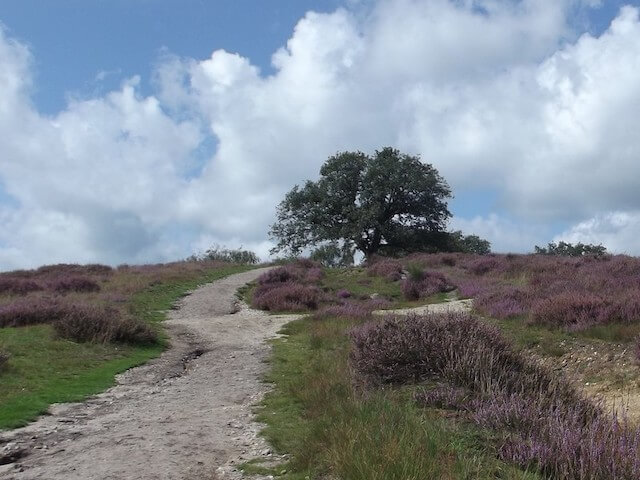
This walking tour goes through the Mookerheide, the forest of Groesbeek and through the Sint-Jansberg nature reserve. The Mookerheide is located on the spur of the Nijmegen moraine and has significant height differences. Because of this, people have beautiful views over the land of Cuijk at some points.
Distance: 17 km.
Time: 4h00.
Grade: Moderate.
Type: Circular.
Gps Track: Yes.
Route description: Yes.
Wheelchair: Not suitable.
Dog: Allowed.
Height gain: No information.
Trail: 96% unpaved.
Marking: se PDF route description.
Hiking shoes recommended.
Advertisement.
The Sint-Jansberg.
There are two redoubts on the Mookerheide: the Mookerschans and the Heumense schans. The Mookerschans was probably built in the second half of the seventeenth century and consists of a square with a size of approximately 70 by 70 meters. The second redoubt, the Heumense redoubt, from the same period, was built in the form of a five-pointed star with a diameter of 50 meters. Sint-Jansberg is an area with forested slopes with imposing deciduous trees. On the route you go by a Scottish Barn and hunting lodge the Mookerheide and at the Sint-Jansberg area along an old water mill "Bovenste Plasmolen" from 1725.
Download PDf for route description.
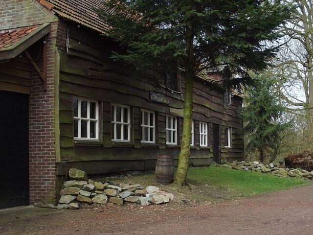
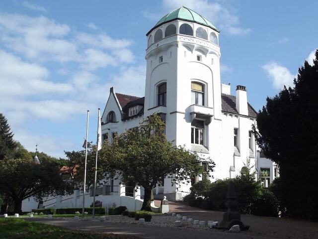
POI 1 - Hunting lodge Mookerheide.
In 1905, an Art Nouveau hunting lodge with surrounding ornamental and utility gardens, a park forest and a vast estate arose on the highest spot of the Mookerheide. In 1947, after the war, the Dominican Sisters of Bethany started a monastery and shelter for children with learning and upbringing difficulties. When Natuurmonumenten acquired the Mookerheide estate in 1985, there was hardly any "estate". This has changed after years of recovery.
Natuurmonumenten.
www.natuurmonumenten.nl.
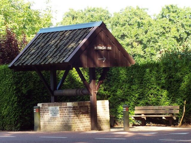
POI 2 - Alde well.
The first plans for digging the well date back to 1887 and after years of consultation, the Alde well was built in 1913 by order of the municipal authorities of Mook and Middelaar. Until 1945 this was the only drinking water supply for the residents of the Bisselt. The well was restored in 1966 and fitted with a tiled roof.
No additional information.
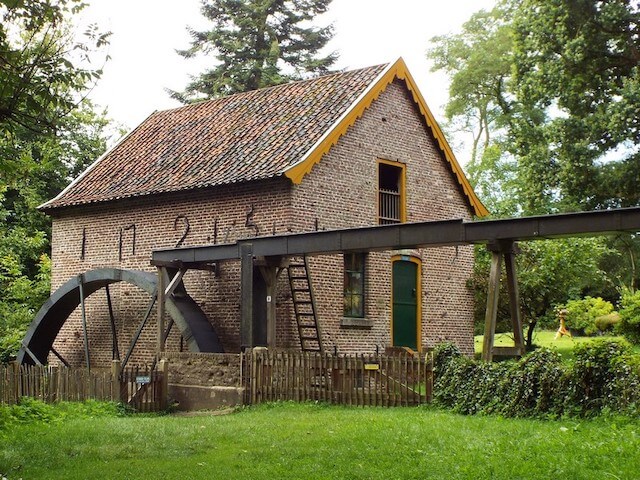
POI 4 & 5 - Bovenste Plasmolen and Roman villa.
The Bovenste Plasmolen is a water mill that, according to the anchor year date from 1725, but is probably older. The remains of the largest Roman villa ever found in the Netherlands are also located in this area. The foundations of the Roman villa Plasmolen were discovered in 1931 and probably date from the 2nd century AD. See route description if you want to visit the villa.
No additional information.
POI 6 & 7 - Mooker and Heumense Schans.
The Mooker and Heumense Schans date from the 17th century and together form a unique ensemble that symbolizes the military landscape in North Limburg. The sconces have no connection with the Battle of the Mookerheide from 1574. Because the sconces are clearly visible in the field, they have great historical value. The jumps are laid out as a military support point or as a practice jump. These types of sconces are very rare in the Netherlands and are part of the military operations that took place between the 16th and 19th centuries. The Mookerschans is square, while the Heumense Schans is pentagonal. This shape is also very exceptional, because most sconces are four, six or octagonal.
Natuurmonumenten.
www.natuurmonumenten.nl.