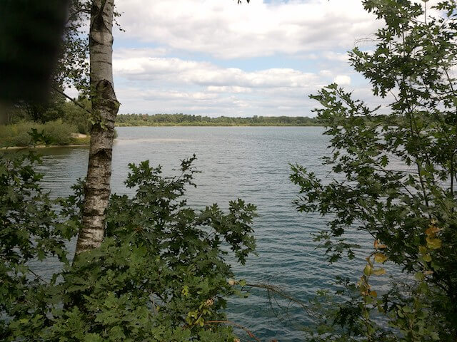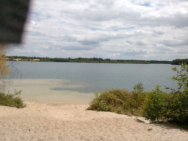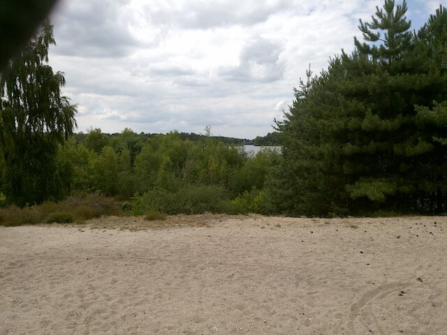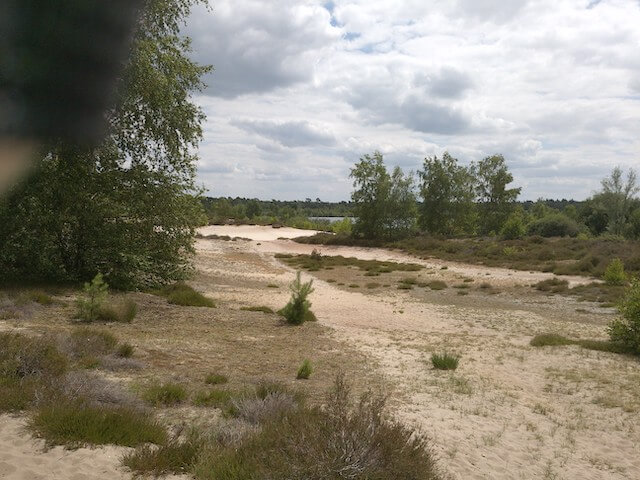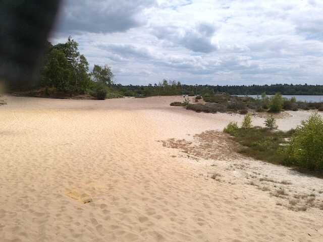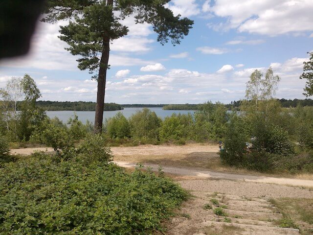
This walking route in the Maasduinen National Park leads through the beautiful area of the Reinders lake that was created by sand excavations. In the sixties, the extraction of industrial sand for the concrete industry started at Bergerheide. These demolitions created the Leuker lake, Seurenheide day beach and Reinders lake. Nature plays the leading role around the 45-meter deep and 130-hectare Reinders lake.
Distance: 8 km.
Time: 2h30.
Grade: Easy.
Type: Circular.
Gps Track: Yes.
Route description: Yes.
Wheelchair: Not suitable.
Dog: Allowed.
Height gain: 93 meters.
Trail: 98% unpaved.
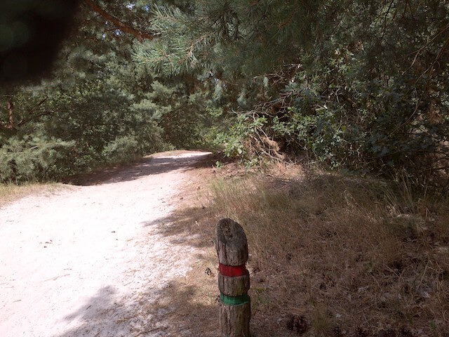
Marking: Wooden pools with a red stripe.
Hiking shoes recommended.
Advertisement.
Bergerheide.
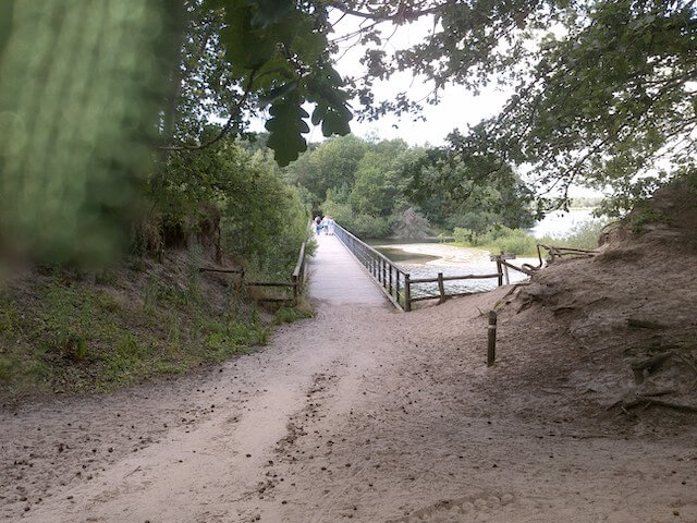
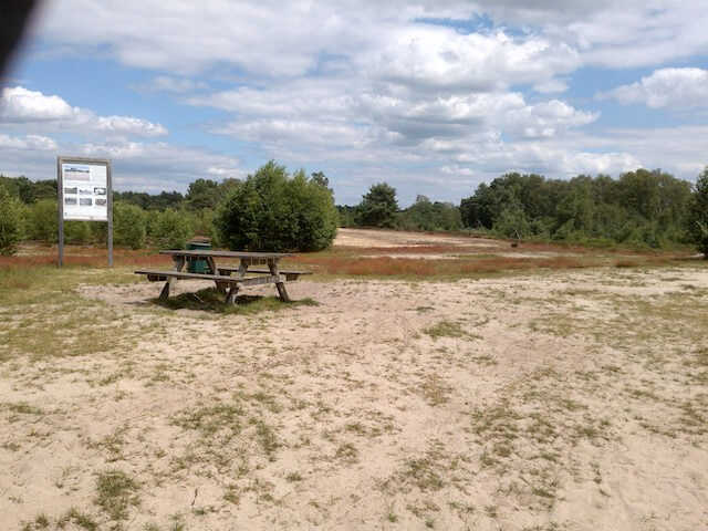
The walk starts at the parking next to the former lock. You go through a staircase across the lock and from then on follow the wooden posts with a red line. The route can be shortened to 4 km if you take the 100 meter long ferry that you have to operate yourself. You sometimes go through fairly loose sand and often have beautiful views of the lake and the heath. You walk a bit through a forest to get to the bird watching hut. You return to the starting point via the play forest. On 10 information panels there is information about the area with interesting facts about the origin of the landscape.
Download PDf for route description.
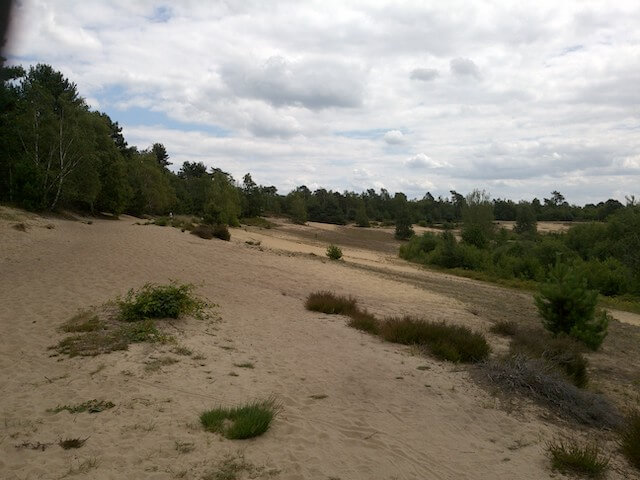
You walk some parts through loose sand.
POI 1 - Maasduinen National Park.
The Maasduinen National Park is unique because the longest river dune belt in the Netherlands is located in the area. These were created by an interplay of water, wind and people through the ages. Water played the largest role in the creation of De Maasduinen. To get a picture of what happened in the past, we go back to the time that the Rhine still flowed through the area and the Maas was a branch of the Rhine. Today, traces of the Rhine can still be found at Landgoed de Hamert, for example. Rhine gravel is still hidden in the soil. Rivers can influence the landscape in two ways. In this way the water can take sand and gravel away from the soil and thus wear the soil deeper and deeper. In other places, the sand and gravel that has been taken with the river can be deposited on the bottom. This will fill the bottom correctly. The water has been able to find its own way in these years, creating different layers. These layers are called terraces. When we talk about De Maasduinen, we can distinguish different terraces where the Rhine or the Maas used to flow. The high terrace is the oldest terrace and was formed around 400,000 years ago by the Rhine. The middle terrace lies between the high and low terrace and was created by the Maas around 150,000 years ago. Over the years, the central terrace on the east bank of the Maas has disappeared in many places. If you want to get a good example of the center terrace, you have to go to the west side of the Maas to Wanssum. At the golf course (Geysterender heide / Hoogveld), gravel-rich, uncovered middle terrace comes to the surface. During the last ice age, the Weichsel ice age, the low terrace was formed. This ice age lasted until around 10,000 years ago. The low terrace is close to the banks of the Maas and can run up to 20 - 25 km inland. The rivers have shaped the landscape as it is now, but the wind has largely finished it all. In the last ice age not only was the low terrace formed, but the wind had also been given free rein. This ice age had the characteristic that it was very cold and dry. There was then a strong western wind that took sand from the west and deposited it on the east banks of the Maas. As a result, the typical river dunes, also known as Maasduinen, were created. We can distinguish different types of river dunes, namely parabolic dunes and stripe dunes.
Maasduinen National Park.
www.natuurparkenlimburg.nl
POI 2 - Bird watching hut.
During this walk you will pass a bird watching hut. The bird watching hut gives a beautiful view over the Reindersmeer. Many birds use the Reindersmeer and surrounding area. Even the harrier and the sea eagle are sometimes spotted from the bird watching hut.
No additional information.