A varied walk through the Herikhuizerveld and the Smitsbos to the well-known Posbank. The Posbank is a monumental bench and popularly also the name for the hilly moorland in which it lies, but this area is actually called the Herikhuizerveld. This hilly moorland is a real gem in the Veluwezoom National Park.
Distance: 10 km.
Time: 3h00.
Grade: Moderate.
Type: Circular.
Gps Track: Yes.
Route description: Yes.
Wheelchair: Not suitable.
Dog: Allowed.
Height gain: 255 meters.
Trail: 95% unpaved.
Marking: See PDF route description.
Hiking shoes recommended.
Advertisement.
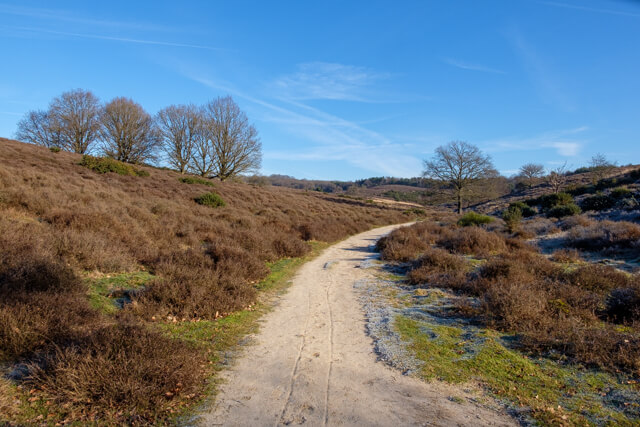
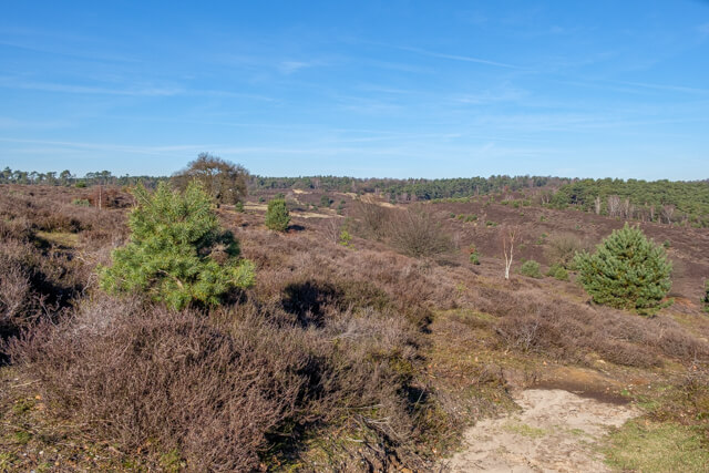
Herkhuizerveld.
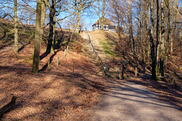
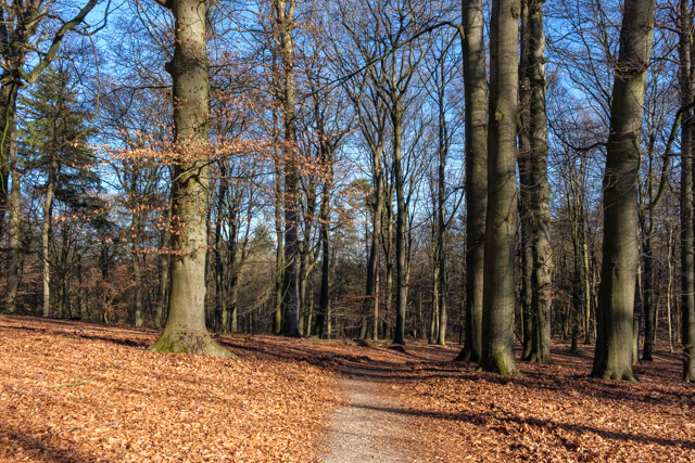
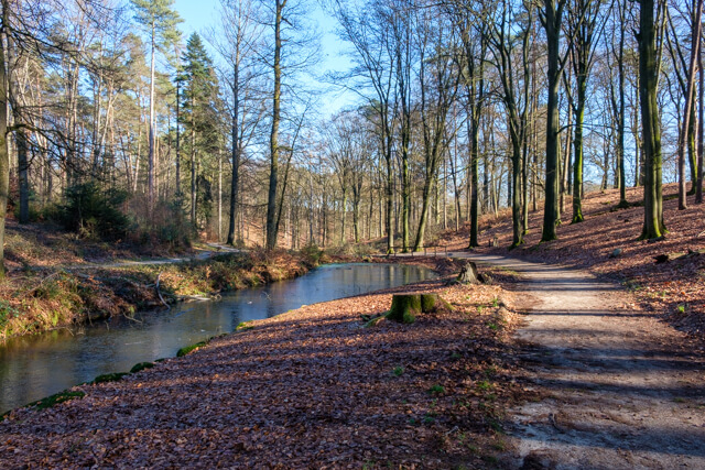
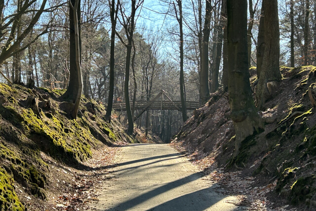
The walk goes through the moorland Herkhuizerveld to Koepel de Kaap from where you have a nice view of the whole area. From there, it continues through the beautiful Smitsbos forest where stately beeches rule the roost. Via the Holle Weg you walk along winding forest paths to the Posbank. Here you have a nice viewpoint from where you can admire this 'most beautiful landscape' of the Netherlands. The route passes through this hilly heathland area and on the other side, after a steep climb, you reach another viewpoint. Along the edge of the area, it continues to the Heuven sheepfold. Next to the Spreng van Heuven you walk back towards the starting point where you can have another look at the Veluwezoom visitor centre.
Download PDF for route description.
Avoid during weekends if possible.
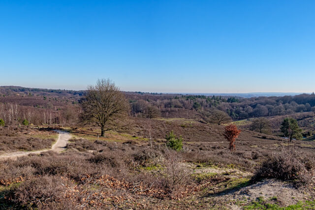
POI 2 - The Posbank.
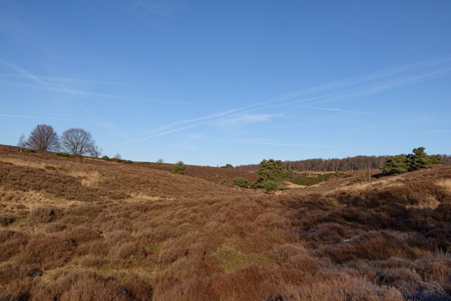
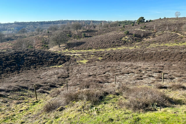
The Posbank is a monumental bench. The Posbank is also popularly the name for the hilly moorland in which it lies, but this area is actually called the Herikhuizerveld. The bench stands at a height of 90 metres above sea level in the Veluwezoom National Park with views over the Herikhuizerveld, the IJssel valley, Arnhem, the Achterhoek and the Liemers to Germany.
Natuurmonumenten.
www.natuurmonumenten.nl
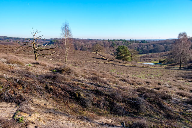
POI 3 - Viewpoint Herikhuizerveld.
Coming out of the forest, you see an elevation with the viewpoint over the Herikhuizerveld on it. The rolling terrain gives a good idea of how the pack ice shaped the typical landscape. The landscape was created around 100,000 years ago. The penultimate ice age struck northwest Europe and immense ice packs pushed southwards, pushing heaps of stones, sand and boulders aside and forward. The Veluwezoom is one of few places in the Netherlands where this geomorphological history would be clearly visible in the landscape.
No additional information.
POI 4 - Heuven sheepfold.
The Heuven sheepfold was built around 1870. At least 17 sheepfolds have stood in the area around Rheden. These pens stood on the border of arable land and heathland. This had everything to do with the function of the sheepfold and the flock. The sheepfold, also known as the potting shed, was the flocks' night shelter in winter and thus a collection point for manure. Here, the sheep dung on a layer of heather sod that was regularly put in. Constant insertion of heather sods and fattening created a thick layer of potting manure. This manure was released over the nearby fields. Choosing the location of the sheepfold on the border of arable land and heathland minimised transport distance.
Natuurmonumenten.
www.natuurmonumenten.nl