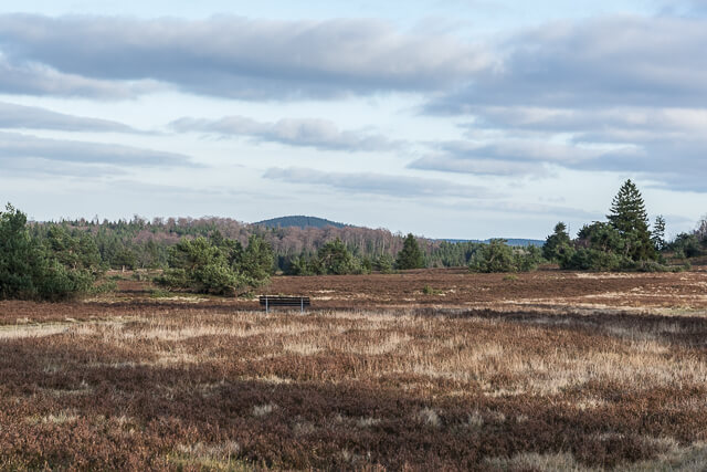
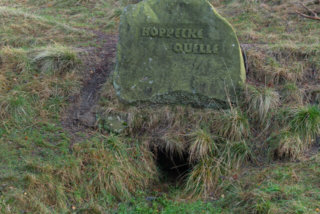
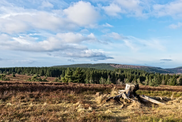
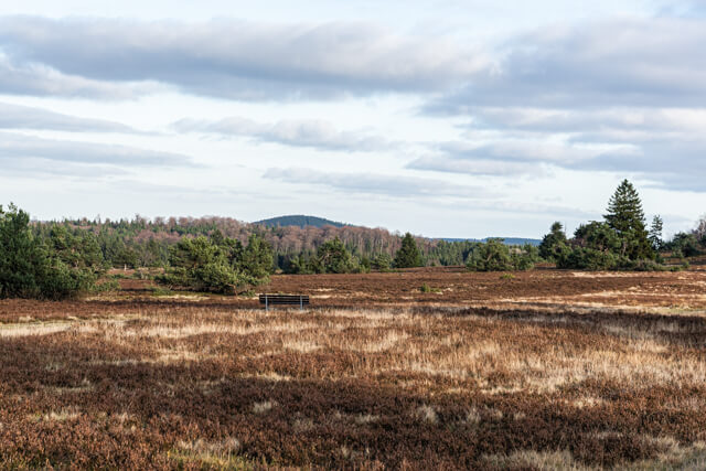
Hike through the Neuer Hagen nature reserve, the largest contiguous moorland in Sauerland. On the tour you pass the source of the Hoppecke and you have a beautiful panorama on the Clemensberg.
Distance: 14 km.
Time: 3h30.
Grade: Moderate.
Type: Circular.
Gps Track: Yes.
Route description: No.
Wheelchair: Not suitable.
Dog: Allowed.
Height gain: 266 meters.
Trail: 98% unpaved.
Marking: W4.
Hiking shoes recommended.
Advertisement.
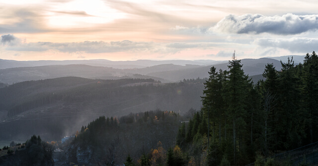
Clemensberg.
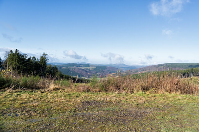
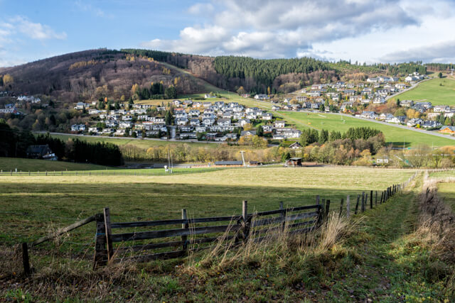
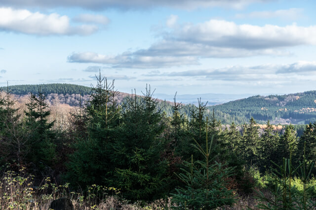
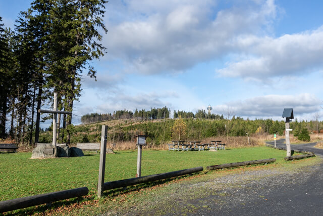
This varied hiking route starts at the edge of the Neuer Hagen nature reserve and heads towards the Langenberg, the highest mountain in the Rothaar Mountains (843 meters), but curves towards Willingen. We walk along the edge of the forest and the Hochheide until we reach the river Hoppecke. With this river as a companion, we descend towards Willingen in the state of Hesse. Just before the village, at the foot of the Ettelsberg we return and walk through a beautiful valley in the middle of the woods towards Hochheide. In the distance you often see the Hochheideturm that protrudes high above the landscape. On the heath we pass the source of the Hoppecke and follow the path that goes through the nature reserve Neuer Hagen in the direction of the Clemensberg (837 meters). At the Clemensberg you are offered a beautiful panorama, from the top it is still a short distance towards the starting point.
Well marked.