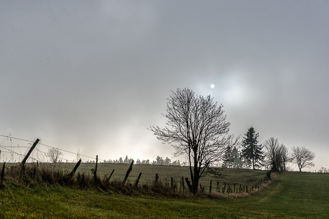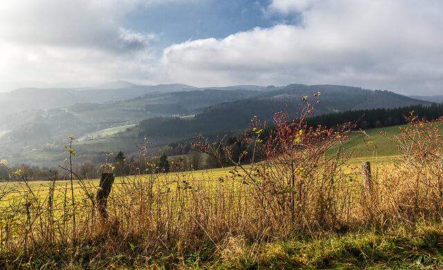
This short hike goes through one of the few remaining high heather areas on the ridges of the Sauerland. Beautiful vistas alternate with typical heather landscapes.
Distance: 5.5 km.
Time: 1h45.
Grade: Easy.
Type: Circular.
Gps Track: Yes.
Route description: No.
Wheelchair: Not suitable.
Dog: Allowed.
Height gain: 169 meters.
Trail: 100% unpaved.
Marking: Blue rectangle.
Hiking shoes recommended.
Advertisement.
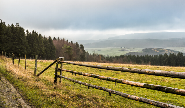
Ka-Lied.
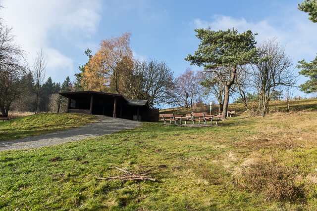
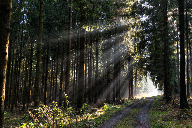
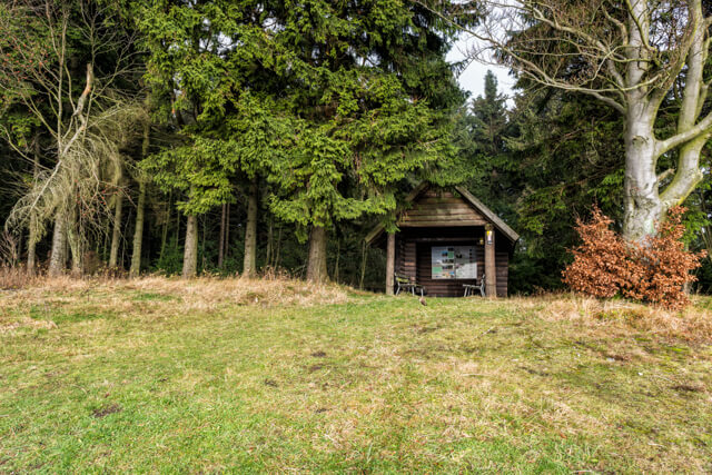
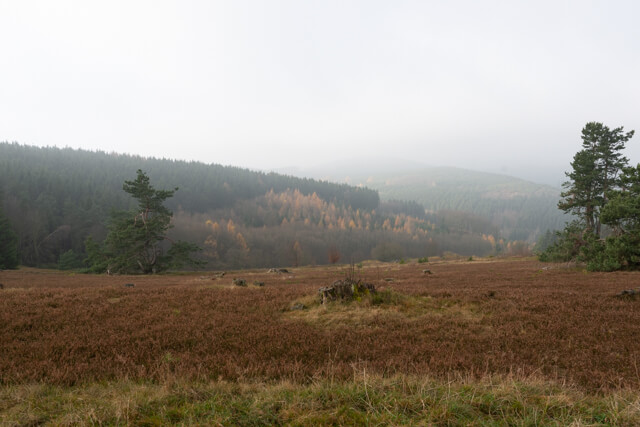
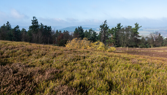
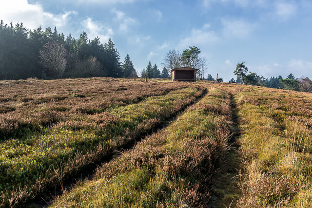
The trail goes along well-maintained forest roads to the typical high heather. You have a beautiful viewpoint at the Usseler Heide-Kruis. From there it goes to the nature reserve Kahle Pön. You reach Ka-Lied at a height of 745 meters through a beautiful beech forest. Here you have a very nice view of the Medebacher Bucht. At the end of the 19th century, the mountain ridges of the Sauerland were largely occupied by mountain heather. On the plateau of the Kahler Pön, in the border area between Upland and Medebacher Bucht, is one of the few remaining heaths of the Rhenish slate mountains.
Well marked.