This walk goes through the Birgeler forest along remnants of the Westwall to the Schaagbach valley and through the swamp around Haus Wildenrath.
Distance: 14.5 km.
Time: 3h30.
Grade: Moderate.
Type: Circular.
Gps Track: Yes.
Route description: No.
Wheelchair: Not suitable.
Dog: Allowed.
Height gain: No info.
Trail: Mainly unpaved.
Marking: Blue rectangle with white W.
Hiking shoes recommended.
Advertisement.
The Schaagbach.
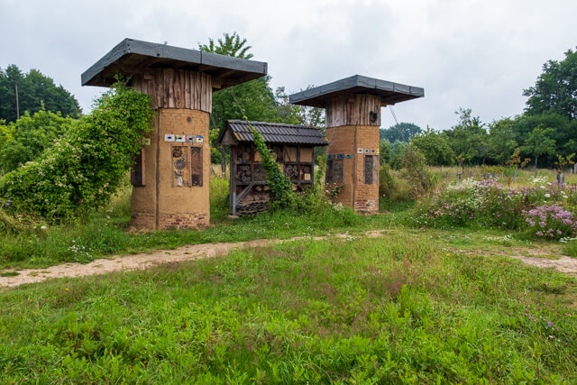
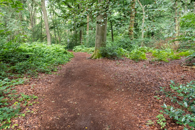
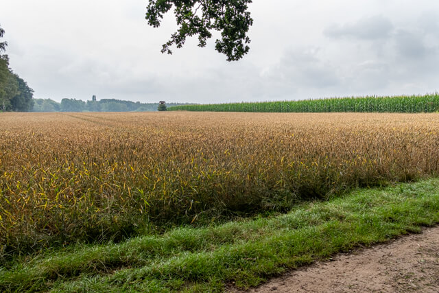
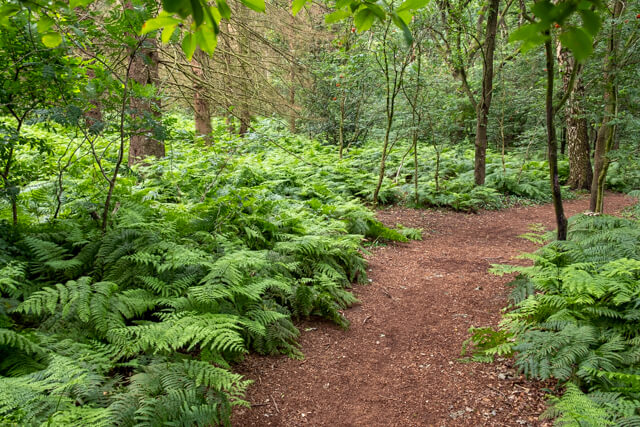
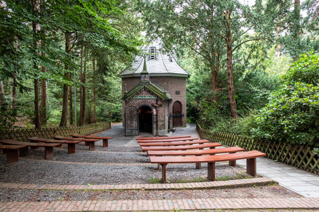
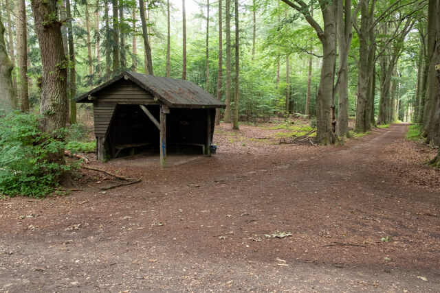
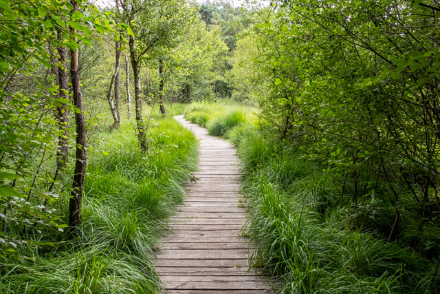
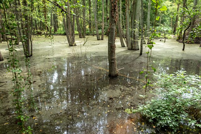
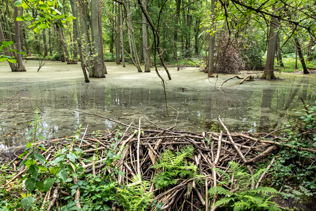
The route goes from the starting point in the direction of the Schaagbach. Then you walk through the Birgeler forest to the Birgelener Pützchen, a small pilgrimage chapel. The Willibrordus spring is also at the chapel, the silicon-containing water seems to have a healing effect. From the chapel you follow a Stations of the Cross with statues of saints. After this it goes uphill, where you can observe the relics of the Westwall. Silent witnesses of history are the remains of the West Wall: remains of bunkers and trenches from the two world wars. On the old railway embankment of the dilapidated Jülich - Dalheim route, the road continues to the highest point of the hiking route. Pristine mixed and beech forests alternate. Often the roads and paths are surrounded by almost hughe ferns. Then you reach the romantic valley of the Schaagbach. Finally, the route leads back to the swamp landscape around Haus Wildenrath.
Well marked.