A varied hike that starts at the foot of the Kahler Asten, an 841 meter high mountain in the northwest of the Rothaar Mountains, just southwest of Winterberg, between the villages of Alt- and Neuastenberg.
Distance: 14 km.
Time: 3h30.
Grade: Moderate.
Type: Circular.
Gps Track: Yes.
Route description: No.
Wheelchair: Not suitable.
Dog: Allowed.
Height gain: 369 meters.
Trail: Paved and unpaved.
Marking: None.
Hiking shoes recommended.
Advertisement.
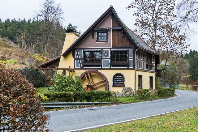
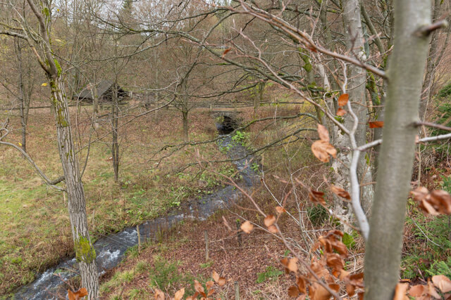
Zwistmühle.
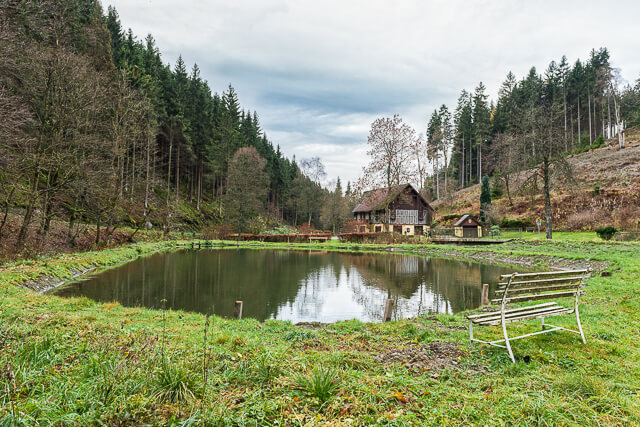
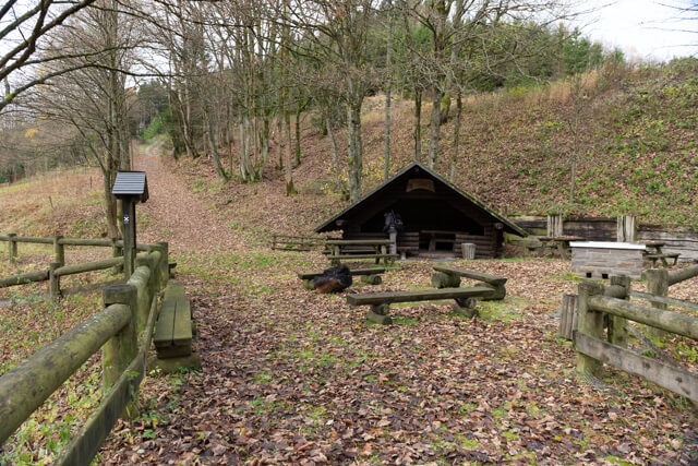
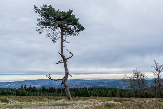
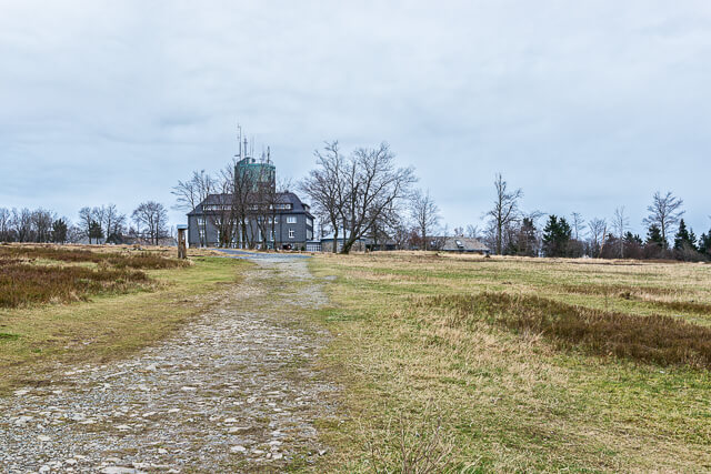
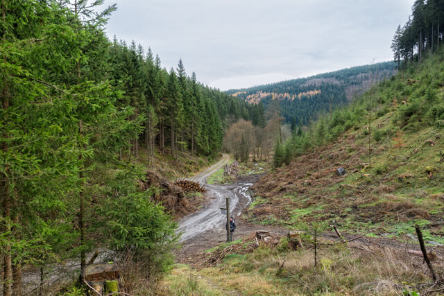
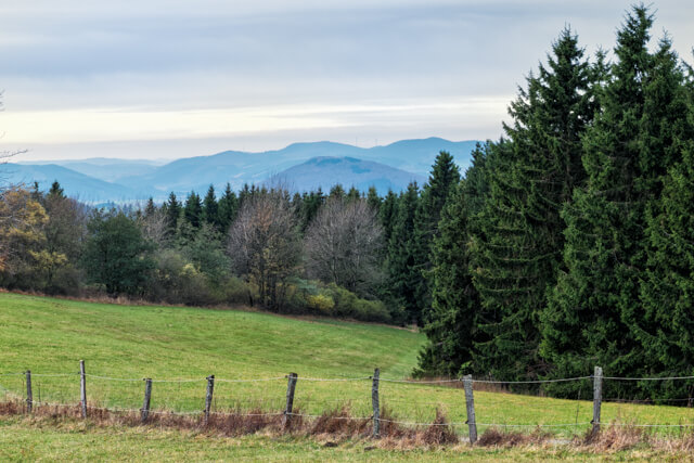
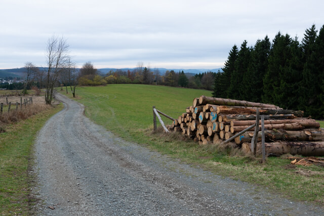
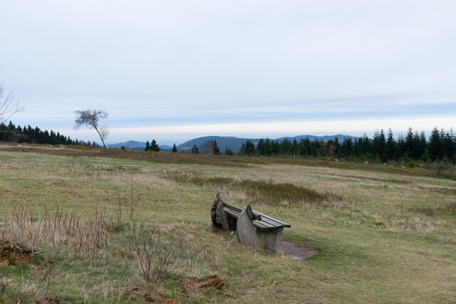
At first you walk around the foot of the Kahler Asten and go through extensive forests and beautiful forest roads towards the hamlet of Mollseifen. In Mollseiffen we follow the banks of the Odeborn and reach the Zwistmühle, a very beautiful watermill with a house. This is also the farthest point of the route. We now go through the woods towards Langewiese and follow the famous Rothaarsteig towards Kahler Asten. At the top of the Kahler Asten there is a weather station and a watchtower. You can relax here in the cafeteria and enjoy the beautiful view of the high heath. From the top it is a short distance to the starting point.
POI 1 - Kahler Asten.
The Kahler Asten Tower is located on the most famous mountain in Sauerland, the Kahler Asten. The mountain, located 5 kilometers from Winterberg, is the third highest mountain in the Rothaar Mountains with its 841 meters. Only the Langenberg (843.2 m) and the Hegekopf (842.9 m) are slightly higher.
No additional information.