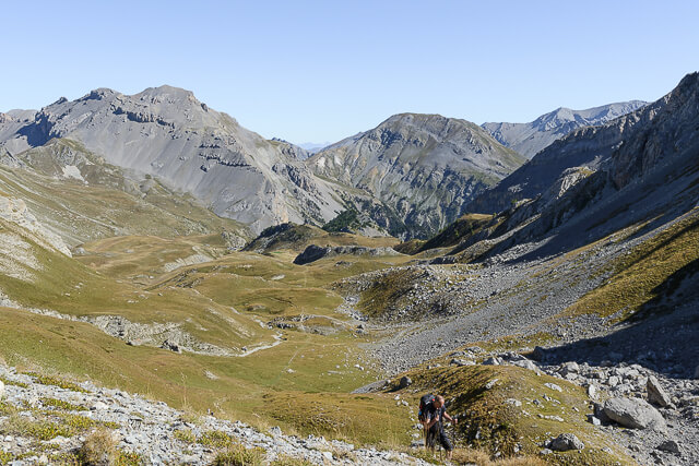
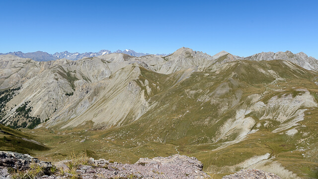
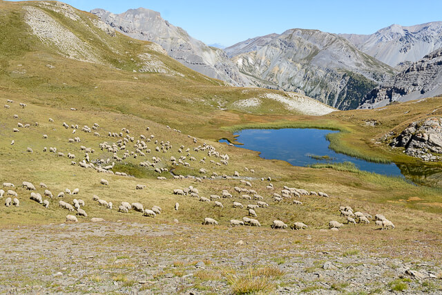
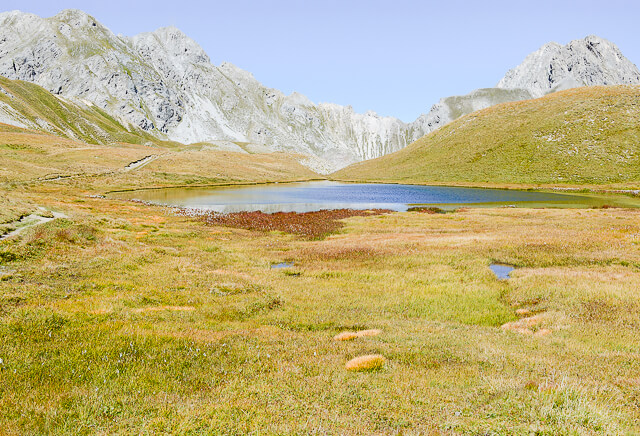
For a day we neglect the intoxicating scents of resin and humus released by the different types of pine because this part of the Queyras already borders the arid mountains of Briançon. There are still some trees around Clapeyto and Collet, but soon we enter a world of grass where millions of flowers adorn the plains in the spring. From the Col de Néal it goes in the direction of Chalets de Clapeyto, along the way you come across several lakes, on the left side of the path is the Lac de Néal, and on the right you pass the Lacs Marion, Lac de Favière and Lacs du Cogour.
Distance: 13 km.
Time: 4h30.
Grade: Moderate.
Type: Circular.
Gps Track: Yes.
Route description: Yes.
Wheelchair: Not suitable.
Dog: Allowed.
Height gain: 697 meters.
Trail: 100% unpaved.
Marking: GR 5 and Yellow dash.
Hiking shoes recommended.
Advertisement.
Col du Givre.
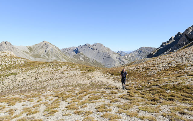
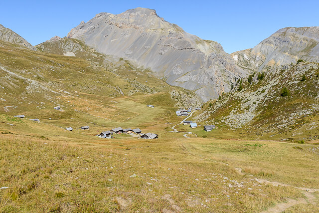
From the parking we follow the GR5 for a short while in the direction of les chalets de l'Agnelli, but on a large plain called Le Pré Premier we head towards Le Collet. We pass the old houses and head towards Col de Néal at an altitude of 2509 meters. From the Col we continue in the direction of Col du Lauzon. At a crossroads we do not take the path to the left towards Col du Lauzon, but follow the rather narrow path towards Col du Givre. This path is not recommended for people with fear of heights. On the Col du Givre you have beautiful views and you can enjoy the Agnelli mountains during a pick-nick. We return to the Col de Néal and follow the path marked in yellow towards the Chalets de Clapeyto, on the way you will come across several lakes, on the left side of the path is the Lac de Néal, and on the right you pass the Lacs Marion, Lac de Favière and the Lacs du Cogour. As soon as we reach the Chalets de Clapeyto we walk back to the starting point on a wide dirt road.
Download PDF for route description.