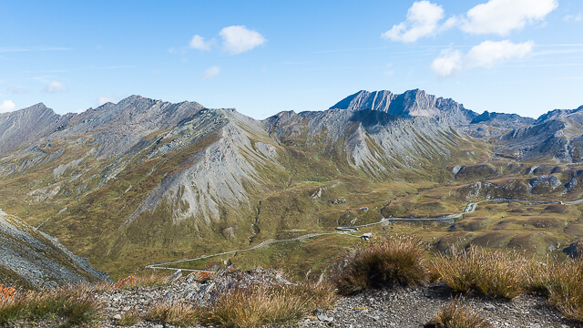
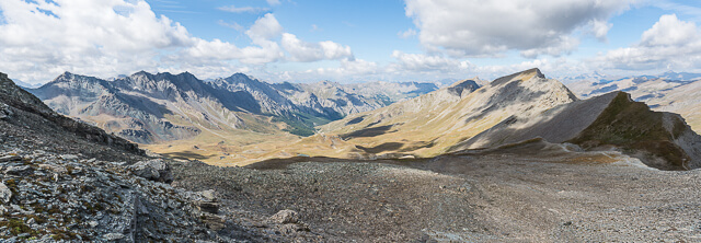
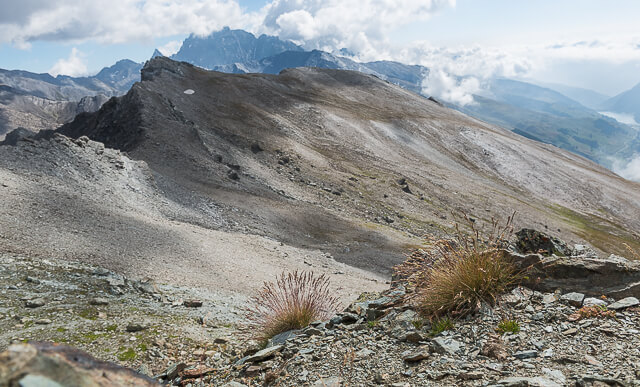
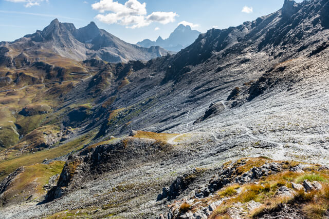
To reach a top of over 3000 meters, you often have to make a greater effort than this route to the Pic de Caramantran at an altitude of 3025 meters. From the Col de Chamoussière you already have a beautiful view of the l'Aigue Agnelle valley and the road to the famous Col d'Agnel. On the other side you have a view of the l'Aigue Blanche valley with the famous Chapelle de Clausis in Saint-Véran in the distance. From the Col de Chamoussière it goes in the direction of the Pic de Caramantran where you really have to take the time to enjoy the view. On the Italian side you can see the Varaïta valley with the Monte Viso (3841 m) as the dominant mountain next to the Pic d'Asti (3220 m).
Distance: 8 km.
Time: 3h00.
Grade: Moderate.
Type: Circular.
Gps Track: Yes.
Route description: Yes.
Wheelchair: Not suitable.
Dog: Allowed.
Height gain: 526 meters.
Trail: 100% unpaved.
Marking: Partly Red-White GR58 and GR58 VAR.
Hiking shoes recommended.
Advertisement.
Three-thousanders on the French-Italian border.
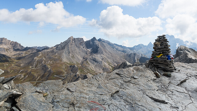
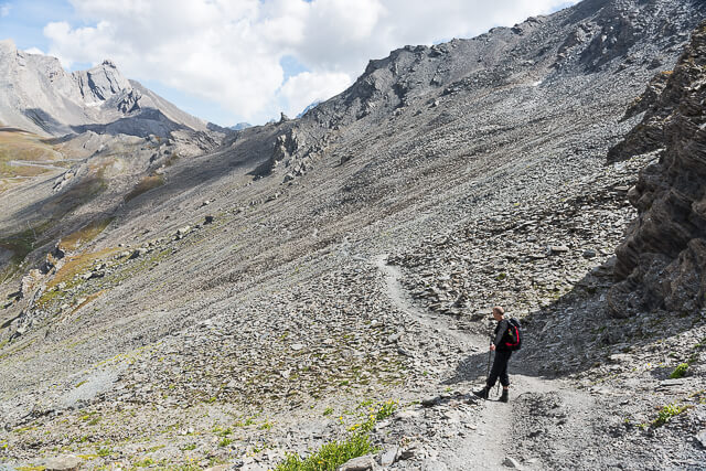
From the starting point, follow the GR58 towards Col de Chamoussière (2828 meters). Here you leave the GR58 and take the path towards Pic de Caramantran. Just before you reach the top, it is worth taking a short walk to the little cairn on the left. From there you have a breathtaking view of Mont Viso, the Col d'Agnel and below the Lac de Longet. You now go to the Pic itself, via a slightly more difficult passage. You leave the top along the ridge on the other side and descend until you reach the first path on your right, indicated by a cairn. You now take the right path and walk back parallel to the Pic to the Col de Chamoussière. From the Col you go back to the starting point.
Download PDF for route description.
Notwithstanding this is a short walk you have to bear in mind that the area is often hit by a heavy mist from the Varaïta valley and that the wind at the top can be very cold and strong.
Do not untertake when there are still snow fields.
POI 1 - Col d’Agnel.
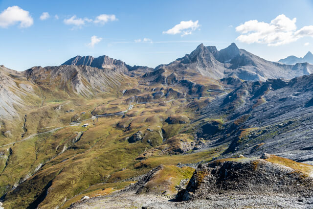
The Col d'Agnel is located in the Cottian Alps on the border between Italy and France. With a height of 2744 meters, this pass is one of the highest in Europe. From October to May the traffic pass is closed due to large snowfall. The pass can be reached from Italy via the Valle Varaita during the summer season and from France through the Aigue Agnelle valley in the Queyras Regional Nature Park. From the Col one has a view of the 3841 meter high pyramid of the Monte Viso, the Pain de Sucre and the Crête de la Taillante. The pass is the starting point for hikes to the Col Vieux (2806 meters) and the Col de Chamoussière (2828 meters).
No additional information.