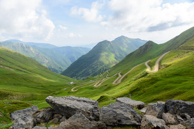
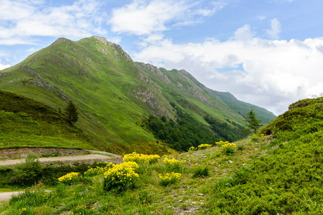
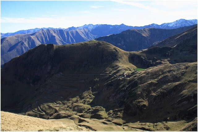
This adventurous hike goes from the Col de Pause along the cabane d'Areau to the crest of the Tuc de Fourmiguet and Pointe de la Banque from where you have a unique view of the east side of Mont Valier (2838m). From the green top of the Cour Vic (2119m) you descend to Lake Areau to return to the starting point via the GR10.
Distance: 7.5 km.
Time: 4h00.
Grade: Heavy.
Type: Circular.
Gps Track: Yes.
Route description: Yes.
Wheelchair: Not suitable.
Dog: Allowed.
Height gain: 620 meters.
Trail: 100% unpaved.
Marking: See PDF route description.
Hiking shoes recommended.
Advertisement.
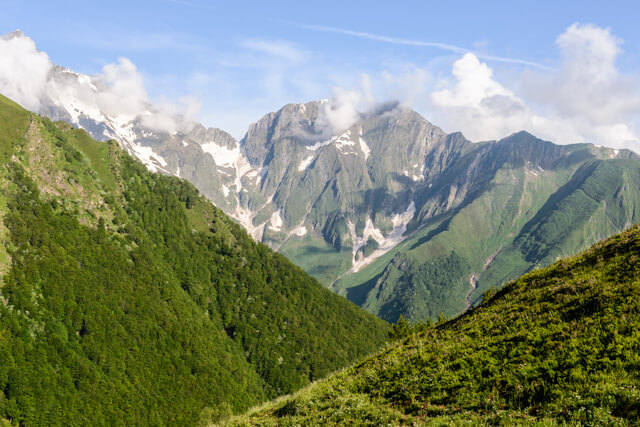
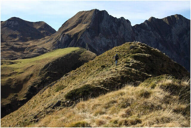
View of Mont Valier.
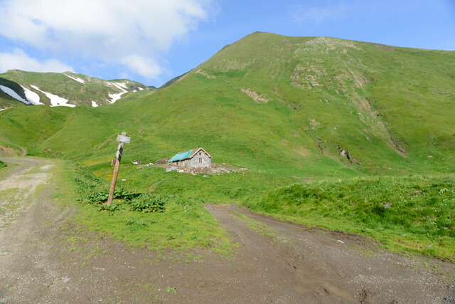
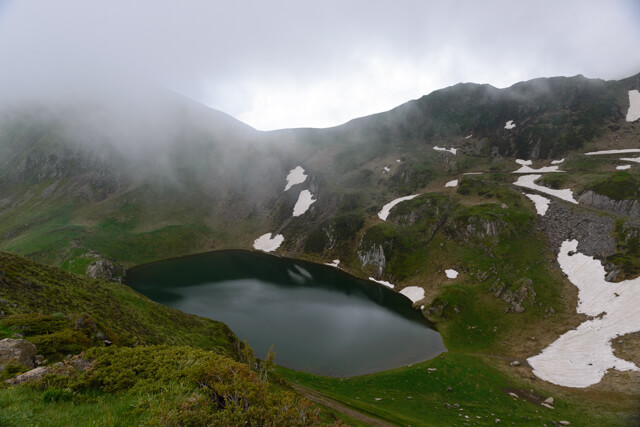
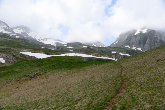
This walking route starts at the Col de Pause at an altitude of 1520 meters. In the first part you walk on a wide dirt road via the GR 10 to the cabane d'Areau. Here you start the climb to the ridge of the Tuc de Fourmiguet. The path on the ridge is never really dangerous, but you still have to be a little careful. From De Tuc de Fourmiguet you walk further on the ridge to Pointe de la Banque. Here it continues over open terrain to the top of the Cour Vic to descend to the lake of Areau. From there you follow the GR10 back to the starting point.
Download PDF for route description.
Not for people with vertigo.
Do not undertake when there are still snow fields.
Need for orientation on the ridge.